|
osgEarth 2.1.1
|
|
osgEarth 2.1.1
|
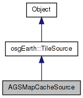
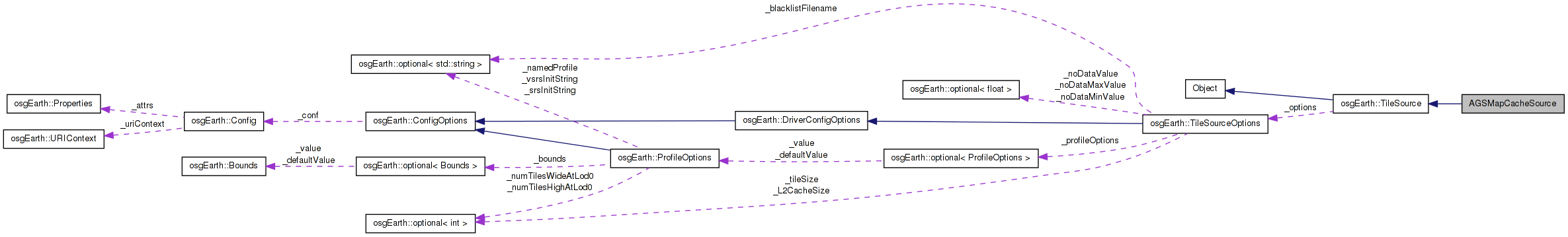
 Inheritance diagram for AGSMapCacheSource: Collaboration diagram for AGSMapCacheSource:
Public Member Functions | |
| AGSMapCacheSource (const TileSourceOptions &options) | |
| void | initialize (const std::string &referenceURI, const Profile *overrideProfile) |
| osg::Image * | createImage (const TileKey &key, ProgressCallback *progress) |
| osg::HeightField * | createHeightField (const TileKey &key, ProgressCallback *progress) |
| virtual std::string | getExtension () const |
Private Attributes | |
| std::string | _url |
| std::string | _map |
| std::string | _layer |
| std::string | _format |
Definition at line 39 of file ReaderWriterArcGISMapCache.cpp.
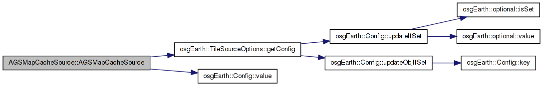
| AGSMapCacheSource::AGSMapCacheSource | ( | const TileSourceOptions & | options | ) | [inline] |
Definition at line 42 of file ReaderWriterArcGISMapCache.cpp.
                                                          :
      TileSource( options )
    {
        const Config& conf = options.getConfig();

        // this is the AGS virtual directory pointing to the map cache
        _url = conf.value( PROPERTY_URL );

        // the name of the map service cache
        _map = conf.value( PROPERTY_MAP );

        // the layer, or null to use the fused "_alllayers" cache
        _layer = conf.value( PROPERTY_LAYER );

        // the image format (defaults to "png")
        // TODO: read this from the XML tile schema file
        _format = conf.value( PROPERTY_FORMAT );

        // validate dataset
        if ( _layer.empty() )
            _layer = "_alllayers"; // default to the AGS "fused view"

        if ( _format.empty() )
            _format = "png";
    }
Here is the call graph for this function:| osg::HeightField* AGSMapCacheSource::createHeightField | ( | const TileKey & | key, |
| ProgressCallback * | progress | ||
| ) | [inline, virtual] |
Creates a heightfield for the given TileKey The returned object is new and is the responsibility of the caller.
Reimplemented from osgEarth::TileSource.
Definition at line 110 of file ReaderWriterArcGISMapCache.cpp.
    {
        //TODO
        return NULL;
    }
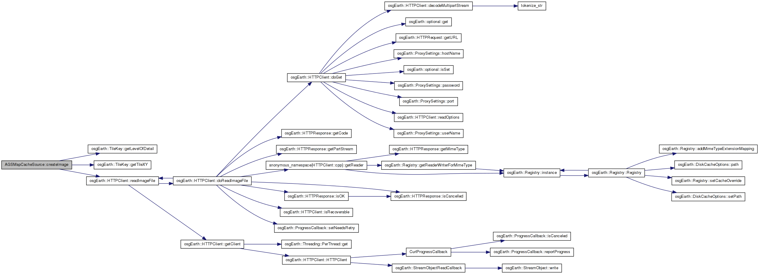
| osg::Image* AGSMapCacheSource::createImage | ( | const TileKey & | key, |
| ProgressCallback * | progress | ||
| ) | [inline, virtual] |
Creates an image for the given TileKey. The returned object is new and is the responsibility of the caller.
Implements osgEarth::TileSource.
Definition at line 75 of file ReaderWriterArcGISMapCache.cpp.
    {
        //If we are given a PlateCarreTileKey, use the MercatorTileConverter to create the image
        //if ( dynamic_cast<const PlateCarreTileKey&>( key ) )
        //{
        //    MercatorTileConverter converter( this );
        //    return converter.createImage( static_cast<const PlateCarreTileKey&>( key ) );
        //}

        std::stringstream buf;

        //int level = key.getLevelOfDetail();
        int level = key.getLevelOfDetail()-1;

        unsigned int tile_x, tile_y;
        key.getTileXY( tile_x, tile_y );

        buf << _url << "/" << _map
            << "/Layers/" << _layer
            << "/L" << std::hex << std::setw(2) << std::setfill('0') << level
            << "/R" << std::hex << std::setw(8) << std::setfill('0') << tile_y
            << "/C" << std::hex << std::setw(8) << std::setfill('0') << tile_x << "." << _format;

        //OE_NOTICE << "Key = " << key.str() << ", URL = " << buf.str() << std::endl;
        //return osgDB::readImageFile( buf.str(), getOptions() );
        //return HTTPClient::readImageFile( buf.str(), getOptions(), progress);

        osg::ref_ptr<osg::Image> image;
                std::string bufStr;
                bufStr = buf.str();
        HTTPClient::readImageFile( bufStr, image, 0L, progress ); //getOptions(), progress );
        return image.release();
    }
Here is the call graph for this function:| virtual std::string AGSMapCacheSource::getExtension | ( | ) | const [inline, virtual] |
Gets the preferred extension for this TileSource
Reimplemented from osgEarth::TileSource.
Definition at line 118 of file ReaderWriterArcGISMapCache.cpp.
    {
        return _format;
    }
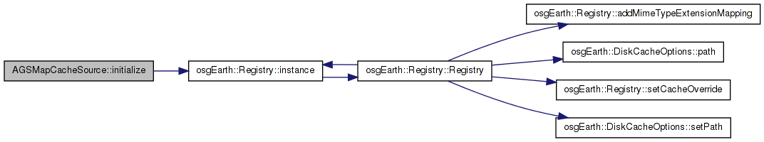
| void AGSMapCacheSource::initialize | ( | const std::string & | referenceURI, |
| const Profile * | overrideProfile | ||
| ) | [inline, virtual] |
Initialize the TileSource. The profile should be computed and set here using setProfile()
Implements osgEarth::TileSource.
Definition at line 68 of file ReaderWriterArcGISMapCache.cpp.
    {
        //Set the profile to global geodetic.
        setProfile(osgEarth::Registry::instance()->getGlobalGeodeticProfile());
    }
Here is the call graph for this function:std::string AGSMapCacheSource::_format [private] |
Definition at line 127 of file ReaderWriterArcGISMapCache.cpp.
std::string AGSMapCacheSource::_layer [private] |
Definition at line 126 of file ReaderWriterArcGISMapCache.cpp.
std::string AGSMapCacheSource::_map [private] |
Definition at line 125 of file ReaderWriterArcGISMapCache.cpp.
std::string AGSMapCacheSource::_url [private] |
Definition at line 124 of file ReaderWriterArcGISMapCache.cpp.
 1.7.3
1.7.3