|
osgEarth 2.1.1
|
|
osgEarth 2.1.1
|
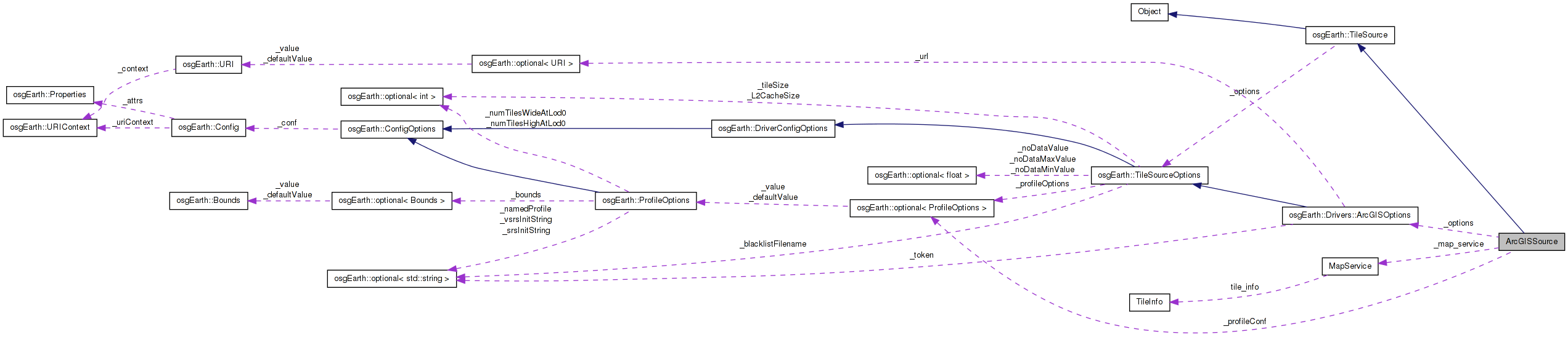
 Inheritance diagram for ArcGISSource: Collaboration diagram for ArcGISSource:
Public Member Functions | |
| ArcGISSource (const TileSourceOptions &options) | |
| void | initialize (const std::string &referenceURI, const Profile *overrideProfile) |
| int | getPixelsPerTile () const |
| osg::Image * | createImage (const TileKey &key, ProgressCallback *progress) |
| osg::HeightField * | createHeightField (const TileKey &key, ProgressCallback *progress) |
| virtual std::string | getExtension () const |
Private Attributes | |
| const ArcGISOptions | _options |
| optional< ProfileOptions > | _profileConf |
| std::string | _map |
| std::string | _layer |
| std::string | _format |
| MapService | _map_service |
Definition at line 42 of file ReaderWriterArcGIS.cpp.
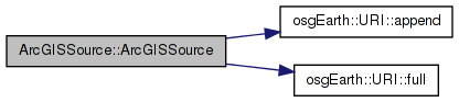
| ArcGISSource::ArcGISSource | ( | const TileSourceOptions & | options | ) | [inline] |
Definition at line 45 of file ReaderWriterArcGIS.cpp.
                                                     :
      TileSource( options ),
      _options( options ),
      _profileConf( ProfileOptions() )
    {
        //if ( options )
        //{
        //    const Config& conf = options->config();

        //    // this is the ArcGIS REST services URL for the map service,
        //    // e.g. http://server/ArcGIS/rest/services/Layer/MapServer
        //    _url = conf.value( PROPERTY_URL );

        //    // force a profile type
        //    // TODO? do we need this anymore? doesn't this happen with overrideprofile now?
        //    if ( conf.hasChild( PROPERTY_PROFILE ) )
        //        _profileConf = ProfileOptions( conf.child( PROPERTY_PROFILE ) );
        //}

        //TODO: allow single layers vs. "fused view"
        if ( _layer.empty() )
            _layer = "_alllayers"; // default to the AGS "fused view"

        //TODO: detect the format
        if ( _format.empty() )
            _format = "png";

        URI url = _options.url().value();
        //Add the token if necessary
        if (_options.token().isSet())
        {
            std::string token = _options.token().value();
            if (!token.empty())
            {
                std::string sep = url.full().find( "?" ) == std::string::npos ? "?" : "&";
                url = url.append( sep + "token=" + token );
            }
        }

        // read metadata from the server
        if ( !_map_service.init( url.full() ) ) //, getOptions()) )
        {
            OE_WARN << "[osgearth] [ArcGIS] map service initialization failed: "
                << _map_service.getError() << std::endl;
        }
    }
Here is the call graph for this function:| osg::HeightField* ArcGISSource::createHeightField | ( | const TileKey & | key, |
| ProgressCallback * | progress | ||
| ) | [inline, virtual] |
Creates a heightfield for the given TileKey The returned object is new and is the responsibility of the caller.
Reimplemented from osgEarth::TileSource.
Definition at line 214 of file ReaderWriterArcGIS.cpp.
    {
        //TODO
        return NULL;
    }
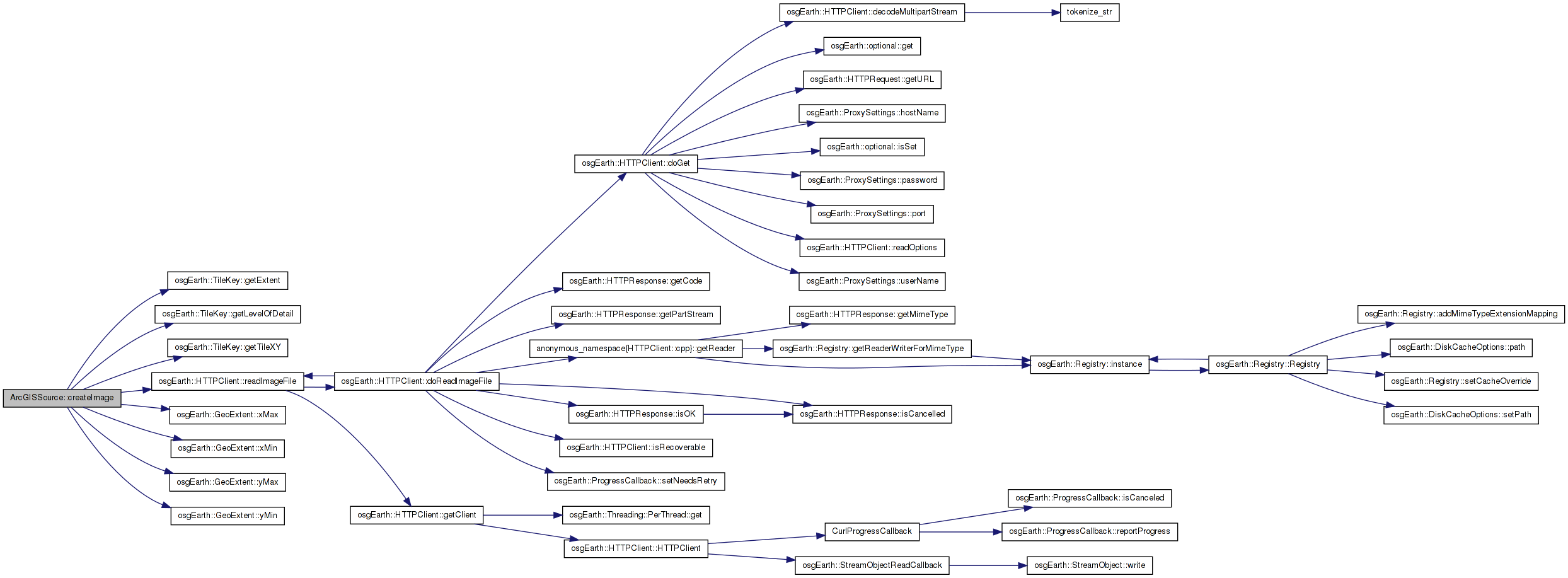
| osg::Image* ArcGISSource::createImage | ( | const TileKey & | key, |
| ProgressCallback * | progress | ||
| ) | [inline, virtual] |
Creates an image for the given TileKey. The returned object is new and is the responsibility of the caller.
Implements osgEarth::TileSource.
Definition at line 155 of file ReaderWriterArcGIS.cpp.
    {
        std::stringstream buf;

        int level = key.getLevelOfDetail();

        unsigned int tile_x, tile_y;
        key.getTileXY( tile_x, tile_y );

        std::string f = _map_service.getTileInfo().getFormat();
        std::transform( f.begin(), f.end(), f.begin(), tolower );
        if ( f.length() > 3 && f.substr( 0, 3 ) == "png" )
            f = "png";

        if ( _map_service.isTiled() )
        {
            buf << _options.url()->full() << "/tile"
                << "/" << level
                << "/" << tile_y
                << "/" << tile_x << "." << f;
        }
        else
        {
            const GeoExtent& ex = key.getExtent();

            buf << std::setprecision(16)
                << _options.url()->full() << "/export"
                << "?bbox=" << ex.xMin() << "," << ex.yMin() << "," << ex.xMax() << "," << ex.yMax()
                << "&format=" << f
                << "&size=256,256"
                << "&transparent=true"
                << "&f=image"
                << "&" << "." << f;
        }

        //Add the token if necessary
        if (_options.token().isSet())
        {
            std::string token = _options.token().value();
            if (!token.empty())
            {
                std::string sep = buf.str().find( "?" ) == std::string::npos ? "?" : "&";
                buf << sep << "token=" << token;
            }
        }

        //OE_NOTICE << "Key = " << key->str() << ", URL = " << buf.str() << std::endl;
        //return osgDB::readImageFile( buf.str(), getOptions() );
        //return HTTPClient::readImageFile( buf.str(), getOptions(), progress );

        osg::ref_ptr<osg::Image> image;
                std::string bufStr;
                bufStr = buf.str();
        HTTPClient::readImageFile( bufStr, image, 0L, progress ); //getOptions(), progress );
        return image.release();
    }
Here is the call graph for this function:| virtual std::string ArcGISSource::getExtension | ( | ) | const [inline, virtual] |
Gets the preferred extension for this TileSource
Reimplemented from osgEarth::TileSource.
Definition at line 222 of file ReaderWriterArcGIS.cpp.
    {
        return _format;
    }
| int ArcGISSource::getPixelsPerTile | ( | ) | const [inline, virtual] |
Gets the number of pixels per tile for this TileSource.
Reimplemented from osgEarth::TileSource.
Definition at line 149 of file ReaderWriterArcGIS.cpp.
    {
      return _map_service.getTileInfo().getTileSize();
    }
| void ArcGISSource::initialize | ( | const std::string & | referenceURI, |
| const Profile * | overrideProfile | ||
| ) | [inline, virtual] |
Initialize the TileSource. The profile should be computed and set here using setProfile()
Implements osgEarth::TileSource.
Definition at line 93 of file ReaderWriterArcGIS.cpp.
    {
        const Profile* profile = NULL;

        if ( _profileConf.isSet() )
        {
            profile = Profile::create( _profileConf.get() );
        }
        else if (overrideProfile)
        {
            profile = overrideProfile;
        }
        //if ( !_profile_str.empty() )
        //{
        //    profile = Profile::create( _profile_str );
        //}
        else if ( _map_service.getProfile() )
        {
            profile = _map_service.getProfile();

            /*
            if ( !_map_service.isTiled() )
            {
                // expand the profile's extents so they form a square.
                // AGS will return an image of a different extent than requested if the pixel aspect
                // ratio is not the same at the geoextent aspect ratio. By forcing a square full extent,
                // we can always request square tiles.

                const GeoExtent& oldEx = profile->getExtent();
                if ( oldEx.width() > oldEx.height() )
                {
                    double d = oldEx.width() - oldEx.height();
                    unsigned int tilesX, tilesY;
                    profile->getNumTiles( 0, tilesX, tilesY );
                    profile = Profile::create( profile->getSRS(), oldEx.xMin(), oldEx.yMin()-d/2, oldEx.xMax(), oldEx.yMax()+d/2, 0L, tilesX, tilesY );
                }
                else if ( oldEx.width() < oldEx.height() )
                {
                    double d = oldEx.height() - oldEx.width();
                    unsigned int tilesX, tilesY;
                    profile->getNumTiles( 0, tilesX, tilesY );
                    profile = Profile::create( profile->getSRS(), oldEx.xMin()-d/2, oldEx.yMin(), oldEx.xMax()+d/2, oldEx.yMax(), 0L, tilesX, tilesY );
                }
            }
            */
        }
        else
        {
            profile = osgEarth::Registry::instance()->getGlobalGeodeticProfile();
        }

                //Set the profile
                setProfile( profile );
    }
Here is the call graph for this function:std::string ArcGISSource::_format [private] |
Definition at line 232 of file ReaderWriterArcGIS.cpp.
std::string ArcGISSource::_layer [private] |
Definition at line 231 of file ReaderWriterArcGIS.cpp.
std::string ArcGISSource::_map [private] |
Definition at line 230 of file ReaderWriterArcGIS.cpp.
MapService ArcGISSource::_map_service [private] |
Definition at line 233 of file ReaderWriterArcGIS.cpp.
const ArcGISOptions ArcGISSource::_options [private] |
Reimplemented from osgEarth::TileSource.
Definition at line 228 of file ReaderWriterArcGIS.cpp.
optional<ProfileOptions> ArcGISSource::_profileConf [private] |
Definition at line 229 of file ReaderWriterArcGIS.cpp.
 1.7.3
1.7.3