|
osgEarth 2.1.1
|
|
osgEarth 2.1.1
|
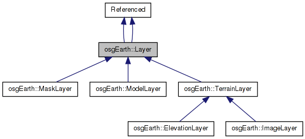
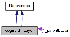
 Inheritance diagram for osgEarth::Layer: Collaboration diagram for osgEarth::Layer:
Public Types | |
| typedef std::vector< Style > | StyleList |
| typedef std::vector< std::string > | SRSList |
| typedef std::vector < osg::ref_ptr< Layer > > | LayerList |
Public Member Functions | |
| Layer () | |
| const UID | getUID () const |
| Layer () | |
| const std::string & | getName () |
| void | setName (const std::string &name) |
| const std::string & | getTitle () |
| void | setTitle (const std::string &title) |
| const std::string & | getAbstract () |
| void | setAbstract (const std::string &abstract) |
| void | getLatLonExtents (double &minLon, double &minLat, double &maxLon, double &maxLat) |
| void | setLatLonExtents (double minLon, double minLat, double maxLon, double maxLat) |
| void | getExtents (double &minX, double &minY, double &maxX, double &maxY) |
| void | setExtents (double minX, double minY, double maxX, double maxY) |
| StyleList & | getStyles () |
| SRSList & | getSpatialReferences () |
| LayerList & | getLayers () |
| Layer * | getParentLayer () |
| void | setParentLayer (Layer *layer) |
| Layer * | getLayerByName (const std::string &name) |
Protected Attributes | |
| std::string | _name |
| std::string | _title |
| std::string | _abstract |
| double | _minLon |
| double | _minLat |
| double | _maxLon |
| double | _maxLat |
| double | _minX |
| double | _minY |
| double | _maxX |
| double | _maxY |
| StyleList | _styles |
| SRSList | _spatialReferences |
| LayerList | _layers |
| Layer * | _parentLayer |
Private Attributes | |
| UID | _uid |
| typedef std::vector< osg::ref_ptr<Layer> > osgEarth::Layer::LayerList |
A list of Layers
Definition at line 149 of file Capabilities.
| typedef std::vector<std::string> osgEarth::Layer::SRSList |
A list of spatial references
Definition at line 141 of file Capabilities.
| typedef std::vector<Style> osgEarth::Layer::StyleList |
A list of Styles
Definition at line 133 of file Capabilities.
| Layer::Layer | ( | ) |
Definition at line 24 of file Layer.cpp.
{
    _uid = Registry::instance()->createUID();
}
Here is the call graph for this function:| osgEarth::Layer::Layer | ( | ) |
| const std::string& osgEarth::Layer::getAbstract | ( | ) | [inline] |
| void Layer::getExtents | ( | double & | minX, |
| double & | minY, | ||
| double & | maxX, | ||
| double & | maxY | ||
| ) |
| void Layer::getLatLonExtents | ( | double & | minLon, |
| double & | minLat, | ||
| double & | maxLon, | ||
| double & | maxLat | ||
| ) |
| Layer* osgEarth::Layer::getLayerByName | ( | const std::string & | name | ) |
| LayerList& osgEarth::Layer::getLayers | ( | ) | [inline] |
Gets this Layer's list of child Layers
Definition at line 154 of file Capabilities.
{return _layers;}
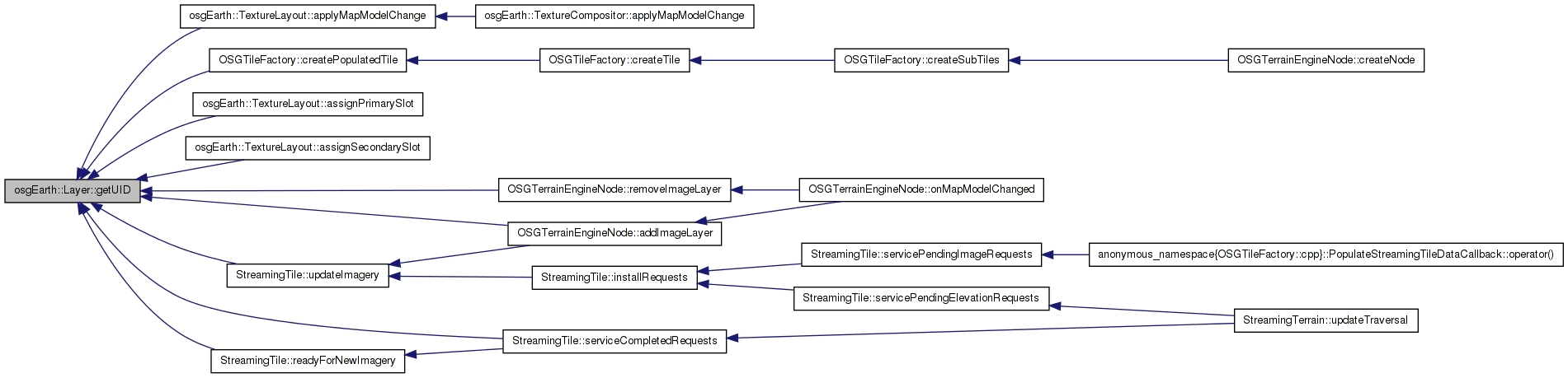
Here is the caller graph for this function:| const std::string& osgEarth::Layer::getName | ( | ) | [inline] |
| Layer* osgEarth::Layer::getParentLayer | ( | ) | [inline] |
| SRSList& osgEarth::Layer::getSpatialReferences | ( | ) | [inline] |
Gets this Layer's list of spatial references
Definition at line 146 of file Capabilities.
{return _spatialReferences;}
Here is the caller graph for this function:| StyleList& osgEarth::Layer::getStyles | ( | ) | [inline] |
Gets this Layer's list of defined Styles
Definition at line 138 of file Capabilities.
{return _styles;}
Here is the caller graph for this function:| const std::string& osgEarth::Layer::getTitle | ( | ) | [inline] |
| const UID osgEarth::Layer::getUID | ( | ) | const [inline] |
| void osgEarth::Layer::setAbstract | ( | const std::string & | abstract | ) | [inline] |
Sets the abstract of the layer
Definition at line 109 of file Capabilities.
{_abstract = abstract;}
Here is the caller graph for this function:| void Layer::setExtents | ( | double | minX, |
| double | minY, | ||
| double | maxX, | ||
| double | maxY | ||
| ) |
| void Layer::setLatLonExtents | ( | double | minLon, |
| double | minLat, | ||
| double | maxLon, | ||
| double | maxLat | ||
| ) |
| void osgEarth::Layer::setName | ( | const std::string & | name | ) | [inline] |
Sets the name of the layer
Definition at line 89 of file Capabilities.
{_name = name;}
Here is the caller graph for this function:| void osgEarth::Layer::setParentLayer | ( | Layer * | layer | ) | [inline] |
Sets this Layer's parent layer
Definition at line 164 of file Capabilities.
{_parentLayer = layer;}
Here is the caller graph for this function:| void osgEarth::Layer::setTitle | ( | const std::string & | title | ) | [inline] |
Sets the title of the layer
Definition at line 99 of file Capabilities.
{_title = title;}
Here is the caller graph for this function:std::string osgEarth::Layer::_abstract [protected] |
Definition at line 175 of file Capabilities.
LayerList osgEarth::Layer::_layers [protected] |
Definition at line 181 of file Capabilities.
double osgEarth::Layer::_maxLat [protected] |
Definition at line 176 of file Capabilities.
double osgEarth::Layer::_maxLon [protected] |
Definition at line 176 of file Capabilities.
double osgEarth::Layer::_maxX [protected] |
Definition at line 177 of file Capabilities.
double osgEarth::Layer::_maxY [protected] |
Definition at line 177 of file Capabilities.
double osgEarth::Layer::_minLat [protected] |
Definition at line 176 of file Capabilities.
double osgEarth::Layer::_minLon [protected] |
Definition at line 176 of file Capabilities.
double osgEarth::Layer::_minX [protected] |
Definition at line 177 of file Capabilities.
double osgEarth::Layer::_minY [protected] |
Definition at line 177 of file Capabilities.
std::string osgEarth::Layer::_name [protected] |
Reimplemented in osgEarth::TerrainLayer.
Definition at line 173 of file Capabilities.
Layer* osgEarth::Layer::_parentLayer [protected] |
Definition at line 182 of file Capabilities.
SRSList osgEarth::Layer::_spatialReferences [protected] |
Definition at line 179 of file Capabilities.
StyleList osgEarth::Layer::_styles [protected] |
Definition at line 178 of file Capabilities.
std::string osgEarth::Layer::_title [protected] |
Definition at line 174 of file Capabilities.
UID osgEarth::Layer::_uid [private] |
 1.7.3
1.7.3