|
osgEarth 2.1.1
|
|
osgEarth 2.1.1
|
Functions | |
| bool | s_getHeightField (const TileKey &key, const ElevationLayerVector &elevLayers, const Profile *mapProfile, bool fallback, ElevationInterpolation interpolation, ElevationSamplePolicy samplePolicy, osg::ref_ptr< osg::HeightField > &out_result, bool *out_isFallback, ProgressCallback *progress) |
| bool anonymous_namespace{Map.cpp}::s_getHeightField | ( | const TileKey & | key, |
| const ElevationLayerVector & | elevLayers, | ||
| const Profile * | mapProfile, | ||
| bool | fallback, | ||
| ElevationInterpolation | interpolation, | ||
| ElevationSamplePolicy | samplePolicy, | ||
| osg::ref_ptr< osg::HeightField > & | out_result, | ||
| bool * | out_isFallback, | ||
| ProgressCallback * | progress | ||
| ) |
Definition at line 928 of file Map.cpp.
    {
        unsigned int lowestLOD = key.getLevelOfDetail();
        bool hfInitialized = false;

        typedef std::map< TerrainLayer*, bool > LayerValidMap;
        LayerValidMap layerValidMap;

            //Get a HeightField for each of the enabled layers
            GeoHeightFieldVector heightFields;

        unsigned int numValidHeightFields = 0;

        if ( out_isFallback )
        {
            *out_isFallback = false;
        }

        //First pass:  Try to get the exact LOD requested for each enabled heightfield
        for( ElevationLayerVector::const_iterator i = elevLayers.begin(); i != elevLayers.end(); i++ )
        {
            ElevationLayer* layer = i->get();
            if (layer->getProfile() && layer->getEnabled() )
            {
                osg::HeightField* hf = layer->createHeightField( key, progress );
                layerValidMap[ layer ] = (hf != 0L);
                if ( hf )                {
                    numValidHeightFields++;
                    GeoHeightField ghf( hf, key.getExtent(), layer->getProfile()->getVerticalSRS() );
                    heightFields.push_back( ghf );
                }
            }
        }

        //If we didn't get any heightfields and weren't requested to fallback, just return NULL
        if (numValidHeightFields == 0 && !fallback)
        {
            return false;
        }

        //Second pass:  We were either asked to fallback or we might have some heightfields at the requested
        //              LOD and some that are NULL. Fall back on parent tiles to fill in the missing data if possible.
        for( ElevationLayerVector::const_iterator i = elevLayers.begin(); i != elevLayers.end(); i++ )
        {
            ElevationLayer* layer = i->get();

            if (layer->getProfile() && layer->getEnabled() )
            {
                if (!layerValidMap[ layer ])
                {
                    TileKey hf_key = key;
                    osg::ref_ptr< osg::HeightField > hf;
                    while (hf_key.valid())
                    {
                        hf = layer->createHeightField( hf_key, progress );
                        if ( hf.valid() )
                            break;

                        hf_key = hf_key.createParentKey();
                    }

                    if (hf.valid())
                    {
                        if ( hf_key.getLevelOfDetail() < lowestLOD )
                            lowestLOD = hf_key.getLevelOfDetail();

                        heightFields.push_back( GeoHeightField(
                            hf.get(), hf_key.getExtent(), layer->getProfile()->getVerticalSRS() ) );

                        if ( out_isFallback )
                            *out_isFallback = true;

                    }
                }
            }
        }

            if (heightFields.size() == 0)
            {
                //If we got no heightfields, return NULL
                    return false;
            }

            else if (heightFields.size() == 1)
            {
            if ( lowestLOD == key.getLevelOfDetail() )
            {
                        //If we only have on heightfield, just return it.
                        out_result = heightFields[0].takeHeightField();
            }
            else
            {
                GeoHeightField geoHF = heightFields[0].createSubSample( key.getExtent(), interpolation);
                out_result = geoHF.takeHeightField();
                hfInitialized = true;
            }
            }

            else
            {
                    //If we have multiple heightfields, we need to composite them together.
                    unsigned int width = 0;
                    unsigned int height = 0;

                    for (GeoHeightFieldVector::const_iterator i = heightFields.begin(); i < heightFields.end(); ++i)
                    {
                            if (i->getHeightField()->getNumColumns() > width)
                    width = i->getHeightField()->getNumColumns();
                            if (i->getHeightField()->getNumRows() > height)
                    height = i->getHeightField()->getNumRows();
                    }
                    out_result = new osg::HeightField();
                    out_result->allocate( width, height );

                    //Go ahead and set up the heightfield so we don't have to worry about it later
            double minx, miny, maxx, maxy;
            key.getExtent().getBounds(minx, miny, maxx, maxy);
            double dx = (maxx - minx)/(double)(out_result->getNumColumns()-1);
            double dy = (maxy - miny)/(double)(out_result->getNumRows()-1);

            const VerticalSpatialReference* vsrs = mapProfile->getVerticalSRS();

                    //Create the new heightfield by sampling all of them.
            for (unsigned int c = 0; c < width; ++c)
            {
                double geoX = minx + (dx * (double)c);
                for (unsigned r = 0; r < height; ++r)
                {
                    double geoY = miny + (dy * (double)r);

                    //Collect elevations from all of the layers
                    std::vector<float> elevations;
                    for (GeoHeightFieldVector::iterator itr = heightFields.begin(); itr != heightFields.end(); ++itr)
                    {
                        const GeoHeightField& geoHF = *itr;

                        float elevation = 0.0f;
                        if ( geoHF.getElevation(key.getExtent().getSRS(), geoX, geoY, interpolation, vsrs, elevation) )
                        {
                            if (elevation != NO_DATA_VALUE)
                            {
                                elevations.push_back(elevation);
                            }
                        }
                    }

                    float elevation = NO_DATA_VALUE;

                    //The list of elevations only contains valid values
                    if (elevations.size() > 0)
                    {
                        if (samplePolicy == SAMPLE_FIRST_VALID)
                        {
                            elevation = elevations[0];
                        }
                        else if (samplePolicy == SAMPLE_HIGHEST)
                        {
                            elevation = -FLT_MAX;
                            for (unsigned int i = 0; i < elevations.size(); ++i)
                            {
                                if (elevation < elevations[i]) elevation = elevations[i];
                            }
                        }
                        else if (samplePolicy == SAMPLE_LOWEST)
                        {
                            elevation = FLT_MAX;
                            for (unsigned i = 0; i < elevations.size(); ++i)
                            {
                                if (elevation > elevations[i]) elevation = elevations[i];
                            }
                        }
                        else if (samplePolicy == SAMPLE_AVERAGE)
                        {
                            elevation = 0.0;
                            for (unsigned i = 0; i < elevations.size(); ++i)
                            {
                                elevation += elevations[i];
                            }
                            elevation /= (float)elevations.size();
                        }
                    }
                    out_result->setHeight(c, r, elevation);
                }
            }
            }

            //Replace any NoData areas with 0
            if (out_result.valid())
            {
                    ReplaceInvalidDataOperator o;
                    o.setValidDataOperator(new osgTerrain::NoDataValue(NO_DATA_VALUE));
                    o( out_result.get() );
            }

            //Initialize the HF values for osgTerrain
            if (out_result.valid() && !hfInitialized )
            {
                    //Go ahead and set up the heightfield so we don't have to worry about it later
                    double minx, miny, maxx, maxy;
                    key.getExtent().getBounds(minx, miny, maxx, maxy);
                    out_result->setOrigin( osg::Vec3d( minx, miny, 0.0 ) );
                    double dx = (maxx - minx)/(double)(out_result->getNumColumns()-1);
                    double dy = (maxy - miny)/(double)(out_result->getNumRows()-1);
                    out_result->setXInterval( dx );
                    out_result->setYInterval( dy );
                    out_result->setBorderWidth( 0 );
            }

            return out_result.valid();
    }
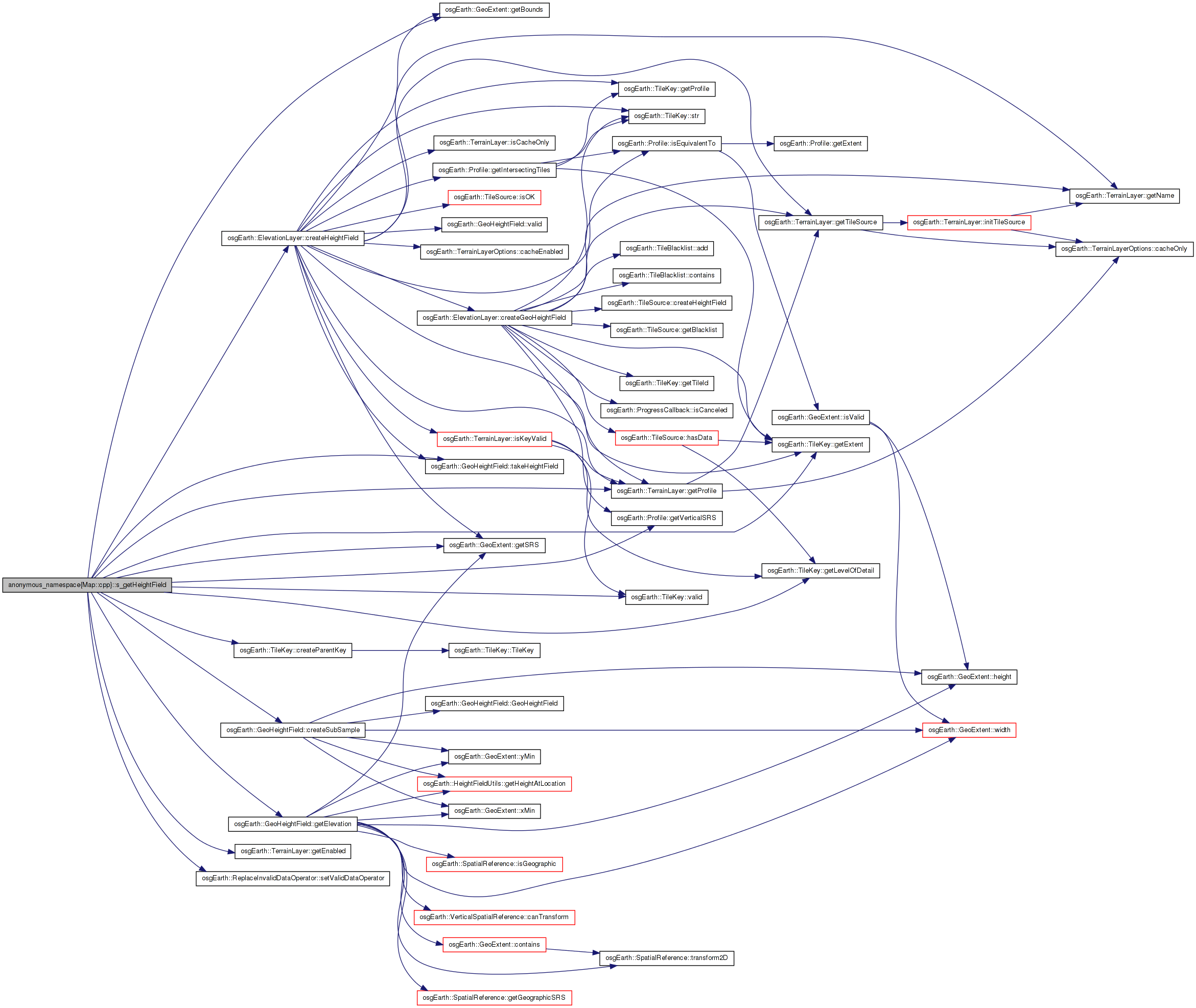
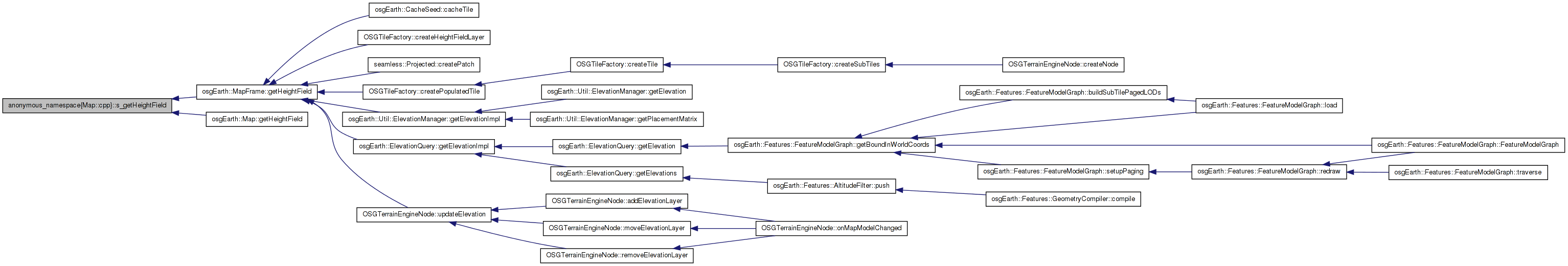
 Here is the call graph for this function: Here is the caller graph for this function:
 1.7.3
1.7.3