|
osgEarth 2.1.1
|
|
osgEarth 2.1.1
|
#include <osgEarth/Map>#include <osgEarth/MapNode>#include <osgEarthUtil/EarthManipulator>#include <osgEarthUtil/Controls>#include <osgViewer/Viewer>#include <osgViewer/ViewerEventHandlers>#include <osgGA/StateSetManipulator>#include <osgDB/ReadFile> Include dependency graph for osgearth_toc.cpp:
Go to the source code of this file.
Classes | |
| struct | MyMapListener |
| struct | LayerEnabledHandler |
| struct | LayerOpacityHandler |
| struct | AddLayerHandler |
| struct | RemoveLayerHandler |
| struct | MoveLayerHandler |
Functions | |
| osg::Node * | createControlPanel (osgViewer::View *) |
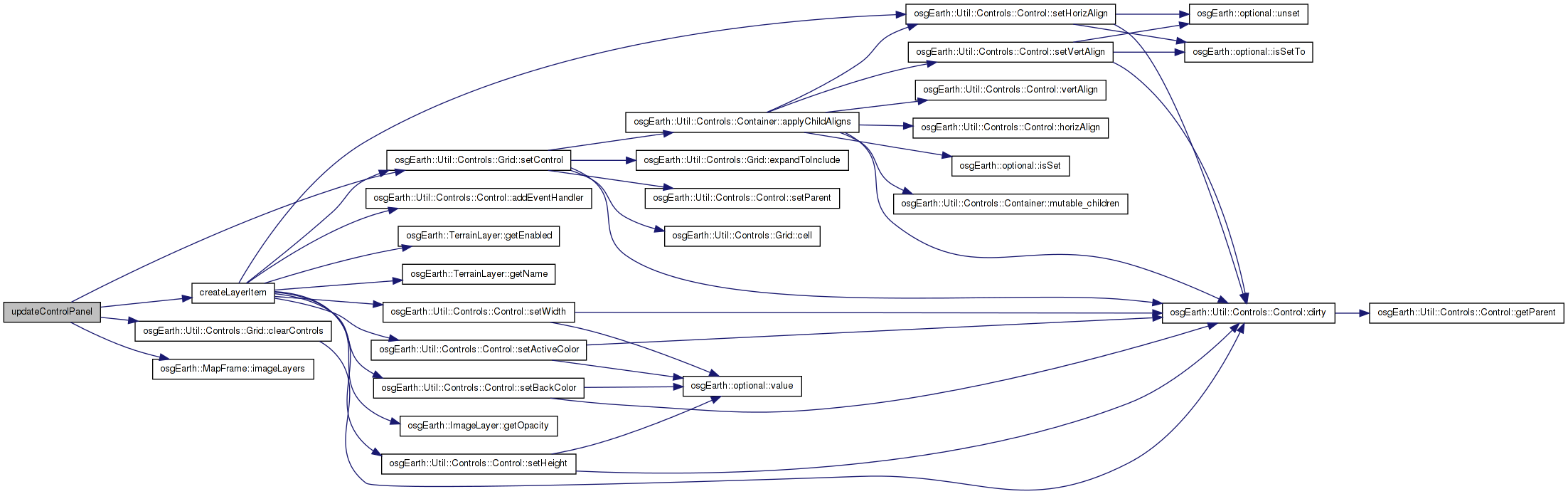
| void | updateControlPanel () |
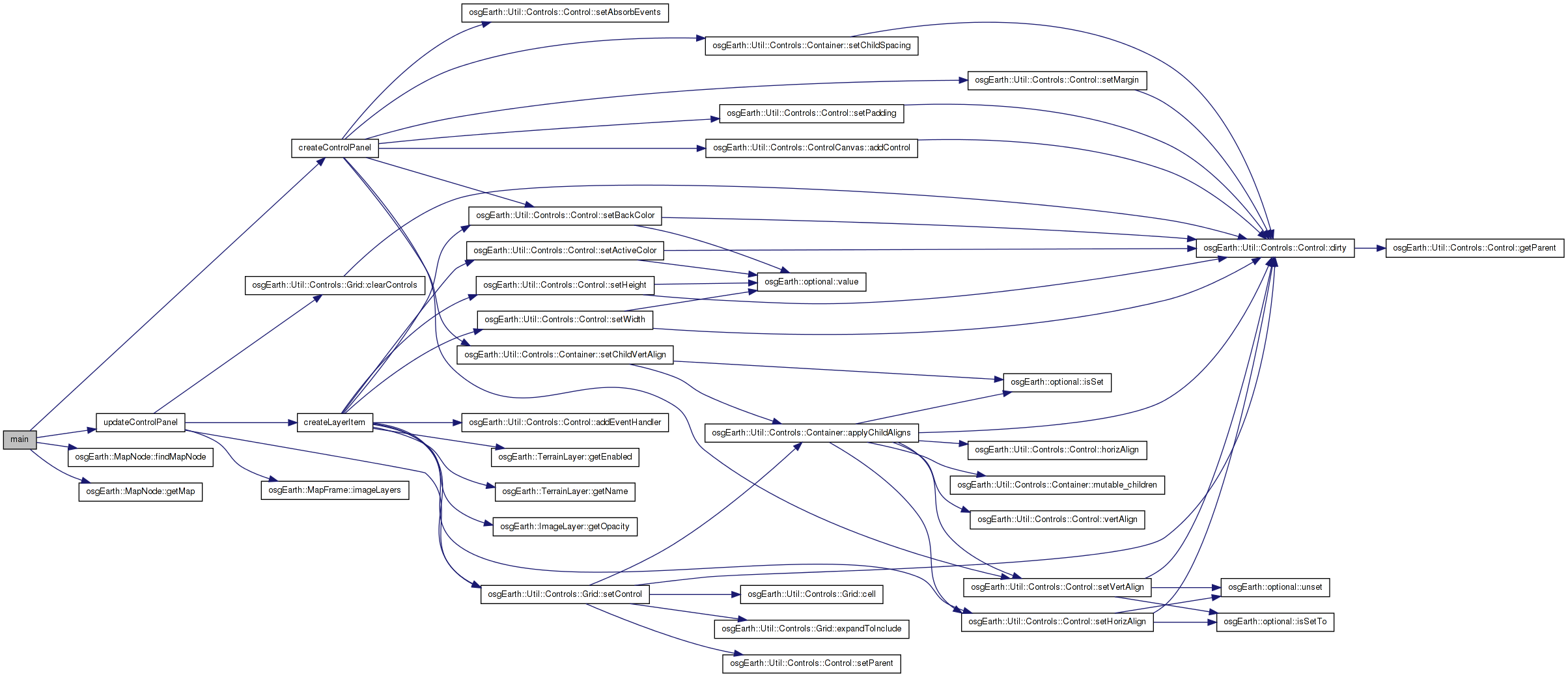
| int | main (int argc, char **argv) |
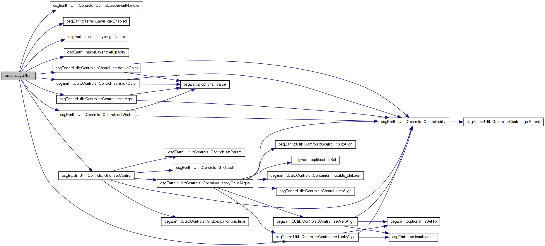
| void | createLayerItem (int gridRow, int layerIndex, int numLayers, ImageLayer *layer, bool isActive) |
Variables | |
| static osg::ref_ptr< Map > | s_activeMap |
| static osg::ref_ptr< Map > | s_inactiveMap |
| static Grid * | s_layerBox |
| static bool | s_updateRequired = true |
| osg::Node* createControlPanel | ( | osgViewer::View * | view | ) |
| void createLayerItem | ( | int | gridRow, |
| int | layerIndex, | ||
| int | numLayers, | ||
| ImageLayer * | layer, | ||
| bool | isActive | ||
| ) |
Definition at line 180 of file osgearth_toc.cpp.
{
    // a checkbox to enable/disable the layer:
    CheckBoxControl* enabled = new CheckBoxControl( layer->getEnabled() );
    enabled->addEventHandler( new LayerEnabledHandler(layer) );
    s_layerBox->setControl( 0, gridRow, enabled );

    // the layer name
    LabelControl* name = new LabelControl( layer->getName() );
    s_layerBox->setControl( 1, gridRow, name );

    // an opacity slider
    HSliderControl* opacity = new HSliderControl( 0.0f, 1.0f, layer->getOpacity() );
    opacity->setWidth( 125 );
    opacity->setHeight( 12 );
    opacity->addEventHandler( new LayerOpacityHandler(layer) );
    s_layerBox->setControl( 2, gridRow, opacity );

    // move buttons
    if ( layerIndex < numLayers-1 && isActive )
    {
        LabelControl* upButton = new LabelControl( "UP", 14 );
        upButton->setBackColor( .4,.4,.4,1 );
        upButton->setActiveColor( .8,0,0,1 );
        upButton->addEventHandler( new MoveLayerHandler( layer, layerIndex+1 ) );
        s_layerBox->setControl( 3, gridRow, upButton );
    }
    if ( layerIndex > 0 && isActive)
    {
        LabelControl* upButton = new LabelControl( "DOWN", 14 );
        upButton->setBackColor( .4,.4,.4,1 );
        upButton->setActiveColor( .8,0,0,1 );
        upButton->addEventHandler( new MoveLayerHandler( layer, layerIndex-1 ) );
        s_layerBox->setControl( 4, gridRow, upButton );
    }

    // add/remove button:
    LabelControl* addRemove = new LabelControl( isActive? "REMOVE" : "ADD", 14 );
    addRemove->setHorizAlign( Control::ALIGN_CENTER );
    addRemove->setBackColor( .4,.4,.4,1 );
    addRemove->setActiveColor( .8,0,0,1 );
    if ( isActive )
        addRemove->addEventHandler( new RemoveLayerHandler(layer) );
    else
        addRemove->addEventHandler( new AddLayerHandler(layer) );
    s_layerBox->setControl( 5, gridRow, addRemove );
}
Here is the call graph for this function: Here is the caller graph for this function:| int main | ( | int | argc, |
| char ** | argv | ||
| ) |
Definition at line 51 of file osgearth_toc.cpp.
{
    osg::ArgumentParser arguments( &argc,argv );

    // load a graph from the command line
    osg::Node* node = osgDB::readNodeFiles( arguments );

    // make sure we loaded a .earth file
    osgEarth::MapNode* mapNode = MapNode::findMapNode( node );
    if ( !mapNode ) {
        OE_WARN << "No osgEarth MapNode found in the loaded file(s)." << std::endl;
        return -1;
    }

    // the displayed Map:
    s_activeMap = mapNode->getMap();
    s_activeMap->addMapCallback( new MyMapListener() );

    // a Map to hold inactive layers (layers that have been removed from the displayed Map)
    s_inactiveMap = new Map();
    s_inactiveMap->addMapCallback( new MyMapListener() );


    // configure the viewer.
    osgViewer::Viewer viewer( arguments );

    osg::Group* root = new osg::Group();

    // install the control panel
    root->addChild( createControlPanel( &viewer ) );
    root->addChild( node );

    // update the control panel with the two Maps:
    updateControlPanel();

    viewer.addEventHandler( new osgGA::StateSetManipulator(viewer.getCamera()->getOrCreateStateSet()) );
    viewer.addEventHandler( new osgViewer::StatsHandler() );

    viewer.setSceneData( root );

    // install a proper manipulator
    viewer.setCameraManipulator( new osgEarth::Util::EarthManipulator() );


    while( !viewer.done() )
    {
        viewer.frame();

        if ( s_updateRequired )
        {
            updateControlPanel();
            s_updateRequired = false;
        }
    }
}
Here is the call graph for this function:| void updateControlPanel | ( | ) |
Definition at line 229 of file osgearth_toc.cpp.
{
    // erase all child controls and just rebuild them b/c we're lazy.
    s_layerBox->clearControls();

    int row = 0;

    LabelControl* activeLabel = new LabelControl( "Map Layers", 20, osg::Vec4f(1,1,0,1) );
    s_layerBox->setControl( 1, row++, activeLabel );

    // the active map layers:
    MapFrame mapf( s_activeMap.get(), Map::IMAGE_LAYERS );
    int layerNum = mapf.imageLayers().size()-1;
    for( ImageLayerVector::const_reverse_iterator i = mapf.imageLayers().rbegin(); i != mapf.imageLayers().rend(); ++i )
        createLayerItem( row++, layerNum--, mapf.imageLayers().size(), i->get(), true );

    MapFrame mapf2( s_inactiveMap.get(), Map::IMAGE_LAYERS );
    if ( mapf2.imageLayers().size() > 0 )
    {
        LabelControl* inactiveLabel = new LabelControl( "Removed:", 18, osg::Vec4f(1,1,0,1) );
        s_layerBox->setControl( 1, row++, inactiveLabel );

        for( unsigned int i=0; i<mapf2.imageLayers().size(); ++i )
        {
            createLayerItem( row++, -1, -1, mapf2.getImageLayerAt(i), false );
        }
    }
}
Here is the call graph for this function: Here is the caller graph for this function:osg::ref_ptr<Map> s_activeMap [static] |
Definition at line 34 of file osgearth_toc.cpp.
osg::ref_ptr<Map> s_inactiveMap [static] |
Definition at line 35 of file osgearth_toc.cpp.
Grid* s_layerBox [static] |
Definition at line 36 of file osgearth_toc.cpp.
bool s_updateRequired = true [static] |
Definition at line 37 of file osgearth_toc.cpp.
 1.7.3
1.7.3