|
osgEarth 2.1.1
|
|
osgEarth 2.1.1
|
Functions | |
| unsigned | getIndex (const GeoExtent &cellExtent, const osg::Vec3d &point, unsigned xdim, unsigned ydim) |
| osg::Geode * | makeClusterGeode (const GeoExtent &cellExtent, unsigned num) |
| GeoObjectCollection::iterator | findObject (GeoObjectCollection &objects, GeoObject *object) |
Variables | |
| static osgText::Font * | s_font = 0L |
| GeoObjectCollection::iterator anonymous_namespace{SpatialData.cpp}::findObject | ( | GeoObjectCollection & | objects, |
| GeoObject * | object | ||
| ) |
Definition at line 88 of file SpatialData.cpp.
    {
        float key = object->getPriority();
        GeoObjectCollection::iterator first = objects.find(key);
        if ( first == objects.end() )
            return objects.end();

        GeoObjectCollection::iterator last = objects.upper_bound(key);
        for( ; first != last; ++first )
            if ( first->second.get() == object )
                return first;

        return objects.end();
    }
 Here is the caller graph for this function:
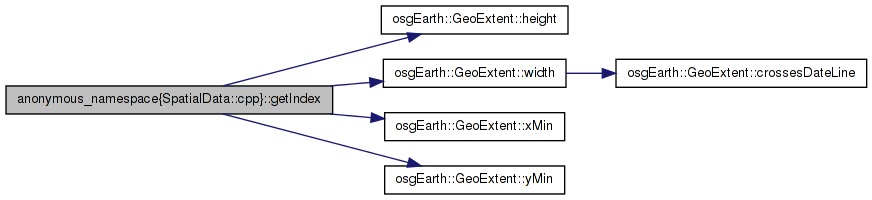
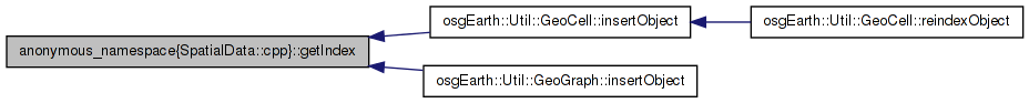
| unsigned anonymous_namespace{SpatialData.cpp}::getIndex | ( | const GeoExtent & | cellExtent, |
| const osg::Vec3d & | point, | ||
| unsigned | xdim, | ||
| unsigned | ydim | ||
| ) |
Definition at line 37 of file SpatialData.cpp.
    {
        double cw = cellExtent.width() / (double)xdim;
        double ch = cellExtent.height() / (double)ydim;

        unsigned col = osg::clampBelow( (unsigned)((point.x()-cellExtent.xMin())/cw), xdim-1 );
        unsigned row = osg::clampBelow( (unsigned)((point.y()-cellExtent.yMin())/ch), ydim-1 );

        return row*xdim + col;
    }
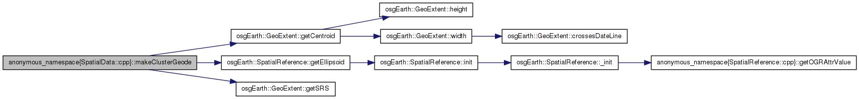
Here is the call graph for this function: Here is the caller graph for this function:| osg::Geode* anonymous_namespace{SpatialData.cpp}::makeClusterGeode | ( | const GeoExtent & | cellExtent, |
| unsigned | num | ||
| ) |
Definition at line 50 of file SpatialData.cpp.
    {
        osgText::Text* t = new osgText::Text();

        double clat, clon;
        cellExtent.getCentroid( clon, clat );
        osg::Vec3d xyz;
        cellExtent.getSRS()->getEllipsoid()->convertLatLongHeightToXYZ(
            osg::DegreesToRadians( clat ), osg::DegreesToRadians( clon ), 0, xyz.x(), xyz.y(), xyz.z() );
        t->setPosition( xyz );

        std::stringstream buf;
        buf << num;
        t->setText( buf.str() );
        t->setCharacterSizeMode( osgText::TextBase::SCREEN_COORDS );
        t->setCharacterSize( 22.0f );
        t->setAutoRotateToScreen( true );

        if ( !s_font )
            s_font = osgText::readFontFile( "arialbd.ttf" );
        t->setFont( s_font );

        t->setBackdropType( osgText::Text::OUTLINE );
        t->setColor( osg::Vec4(1,1,1,1) );
        t->setBackdropColor( osg::Vec4(0,0,0,1) );

        osg::Geode* geode = new osg::Geode();
        geode->addDrawable( t );

        osg::StateSet* s = geode->getOrCreateStateSet();
        s->setAttributeAndModes( new osg::Depth(osg::Depth::ALWAYS) );

        t->setDataVariance( osg::Object::DYNAMIC );

        return geode;
    }
Here is the call graph for this function: Here is the caller graph for this function:osgText::Font* anonymous_namespace{SpatialData.cpp}::s_font = 0L [static] |
Definition at line 48 of file SpatialData.cpp.
 1.7.3
1.7.3