|
osgEarth 2.1.1
|
|
osgEarth 2.1.1
|
#include <osgUtil/Optimizer>#include <osgDB/ReadFile>#include <osgDB/WriteFile>#include <osgEarth/Map>#include <osgEarth/Registry>#include <osgEarthDrivers/gdal/GDALOptions>#include <osgEarthDrivers/arcgis/ArcGISOptions>#include <osgEarthDrivers/tms/TMSOptions>#include <iostream> Include dependency graph for osgearth_tests.cpp:
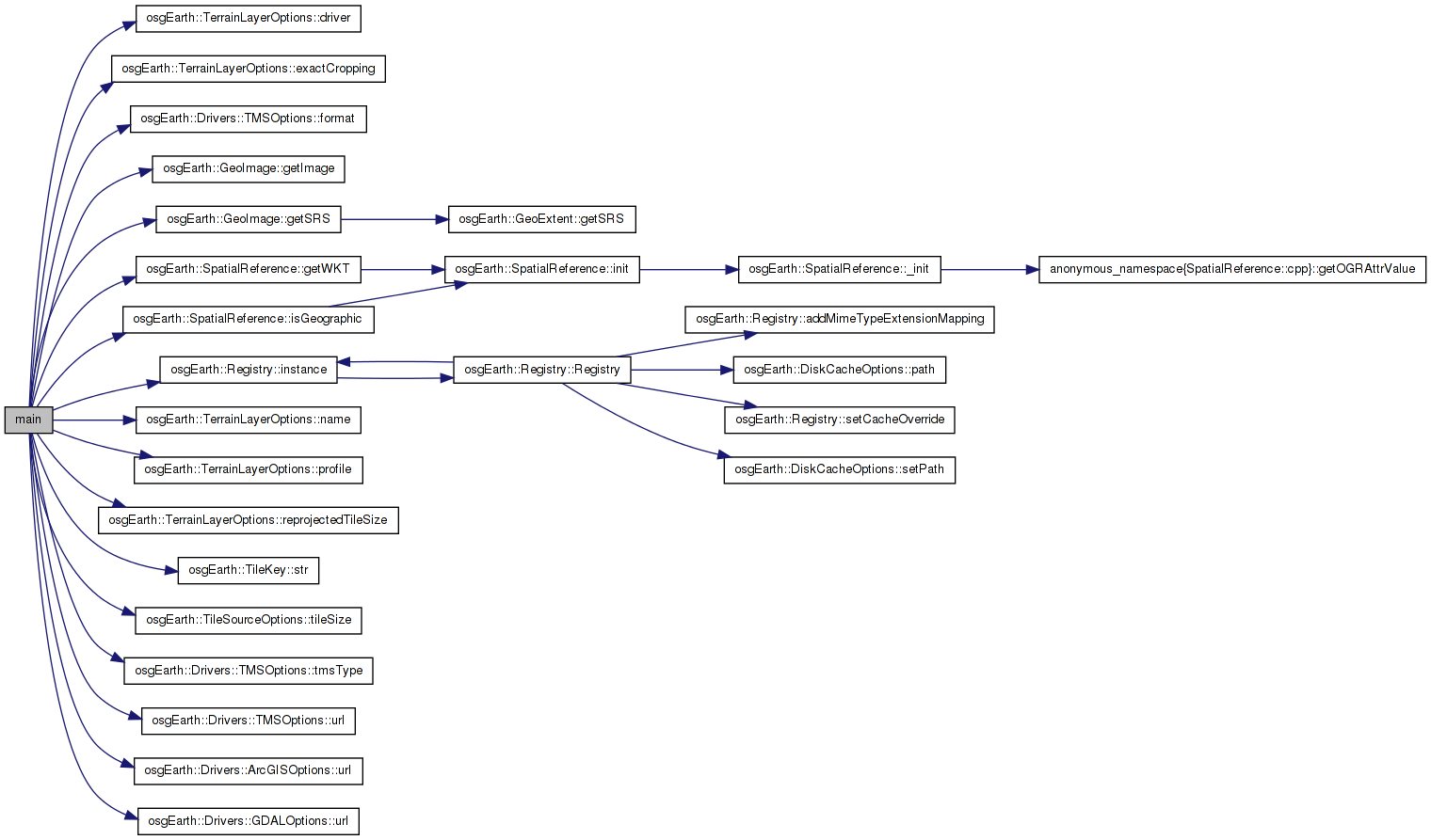
Go to the source code of this file.
Functions | |
| int | main (int argc, char **argv) |
| int main | ( | int | argc, |
| char ** | argv | ||
| ) |
Definition at line 40 of file osgearth_tests.cpp.
{
  osg::ArgumentParser arguments(&argc,argv);

  //One to one test.  Read a single 1 to 1 tile out of a MapLayer
  {
      GDALOptions driverOpt;
      driverOpt.url() = "../data/world.tif";

      ImageLayerOptions layerOpt;
      layerOpt.driver() = driverOpt;
      layerOpt.name() = "test_simple";

      osg::ref_ptr<ImageLayer> layer = new ImageLayer( layerOpt );

      TileKey key(0, 0, 0, layer->getProfile());
          GeoImage image = layer->createImage( key );
          osgDB::writeImageFile(*image.getImage(), layer->getName()+key.str() + std::string(".png"));
  }

  //Mosaic test.  Request a tile in the global geodetic profile from a layer with a geographic SRS but a different tiling scheme.
  {
      ArcGISOptions driverOpt;
      driverOpt.url() = "http://server.arcgisonline.com/ArcGIS/rest/services/ESRI_Imagery_World_2D/MapServer";

      ImageLayerOptions layerOpt;
      layerOpt.driver() = driverOpt;
      layerOpt.name() = "test_mosaic";

      osg::ref_ptr<ImageLayer> layer = new ImageLayer( layerOpt );

      TileKey key(0, 0, 0, osgEarth::Registry::instance()->getGlobalGeodeticProfile());
          GeoImage image = layer->createImage( key );
          osgDB::writeImageFile(*image.getImage(), layer->getName()+key.str() + std::string(".png"));
  }

  //Reprojection.  Request a UTM image from a global geodetic profile
  {
      ArcGISOptions driverOpt;
      driverOpt.url() = "http://server.arcgisonline.com/ArcGIS/rest/services/ESRI_Imagery_World_2D/MapServer";

      ImageLayerOptions layerOpt;
      layerOpt.name() = "test_reprojected_utm";
      layerOpt.driver() = driverOpt;
      layerOpt.reprojectedTileSize() = 512;

      osg::ref_ptr<ImageLayer> layer = new ImageLayer( layerOpt );

      TileKey key(0, 0, 0, Profile::create("epsg:26917", 560725, 4385762, 573866, 4400705));
          GeoImage image = layer->createImage( key );
          osgDB::writeImageFile(*image.getImage(), layer->getName()+key.str() + std::string(".png"));
  }


  //Mercator.  Request a geodetic reprojected image from a mercator source
  {
      TMSOptions driverOpt;
      driverOpt.url() = "http://tile.openstreetmap.org";
      driverOpt.format() = "png";
      driverOpt.tileSize() = 256;
      driverOpt.tmsType() = "google";

      ImageLayerOptions layerOpt;
      layerOpt.driver() = driverOpt;
      layerOpt.name() = "test_mercator_reprojected";
      layerOpt.reprojectedTileSize() = 256;
      layerOpt.exactCropping() = true;
      layerOpt.profile() = ProfileOptions( "global-mercator" );

      osg::ref_ptr<ImageLayer> layer = new ImageLayer( layerOpt );

          //Request an image from the mercator source.  Should be reprojected to geodetic
          TileKey key(0, 0, 0, osgEarth::Registry::instance()->getGlobalGeodeticProfile());
          GeoImage image = layer->createImage( key );
          if (!image.getSRS()->isGeographic())
          {
                  OE_NOTICE << "Error:  Should have reprojected image to geodetic but returned SRS is  " << image.getSRS()->getWKT() << std::endl;
          }
          osgDB::writeImageFile(*image.getImage(), layer->getName()+key.str() + std::string(".png"));
  }

  return 0;
}
Here is the call graph for this function: 1.7.3
1.7.3