|
osgEarth 2.1.1
|
|
osgEarth 2.1.1
|
Public Member Functions | |
| Bounds () | |
| Bounds (double xmin, double ymin, double xmax, double ymax) | |
| double | width () const |
| double | height () const |
| double | depth () const |
| bool | contains (double x, double y) const |
| bool | contains (const Bounds &rhs) const |
| Bounds | unionWith (const Bounds &rhs) const |
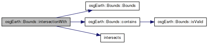
| Bounds | intersectionWith (const Bounds &rhs) const |
| void | expandBy (double x, double y) |
| void | expandBy (double x, double y, double z) |
| void | expandBy (const Bounds &rhs) |
| osg::Vec2d | center2d () const |
| double | radius2d () const |
| std::string | toString () const |
| bool | isValid () const |
| bool | isEmpty () const |
| void | transform (const SpatialReference *fromSRS, const SpatialReference *toSRS) |
An "anonymous" bounding extent (i.e., no geo reference information)
| Bounds::Bounds | ( | ) |
Definition at line 41 of file GeoData.cpp.
               :
osg::BoundingBoxImpl<osg::Vec3d>( DBL_MAX, DBL_MAX, DBL_MAX, -DBL_MAX, -DBL_MAX, -DBL_MAX )
{
    //nop
}
 Here is the caller graph for this function:
| Bounds::Bounds | ( | double | xmin, |
| double | ymin, | ||
| double | xmax, | ||
| double | ymax | ||
| ) |
Definition at line 47 of file GeoData.cpp.
                                                                  :
osg::BoundingBoxImpl<osg::Vec3d>( xmin, ymin, -DBL_MAX, xmax, ymax, DBL_MAX )
{
    //nop
}
| osg::Vec2d Bounds::center2d | ( | ) | const |
Definition at line 149 of file GeoData.cpp.
                       {
    osg::Vec3d c = center();
    return osg::Vec2d( c.x(), c.y() );
}
Here is the caller graph for this function:| bool Bounds::contains | ( | double | x, |
| double | y | ||
| ) | const |
Definition at line 60 of file GeoData.cpp.
{
    return
        isValid() &&
        x >= xMin() && x <= xMax() && y >= yMin() && y <= yMax();
}
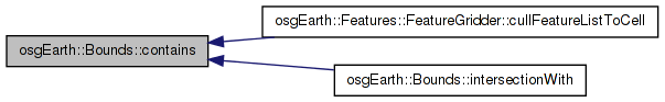
Here is the call graph for this function: Here is the caller graph for this function:| bool Bounds::contains | ( | const Bounds & | rhs | ) | const |
Definition at line 68 of file GeoData.cpp.
{
    return
        isValid() && rhs.isValid() &&
        xMin() <= rhs.xMin() && xMax() >= rhs.xMax() &&
        yMin() <= rhs.yMin() && yMax() >= rhs.yMax();
}
Here is the call graph for this function:| double Bounds::depth | ( | ) | const |
Definition at line 144 of file GeoData.cpp.
                    {
    return zMax()-zMin();
}
| void Bounds::expandBy | ( | double | x, |
| double | y | ||
| ) |
Definition at line 77 of file GeoData.cpp.
{
    osg::BoundingBoxImpl<osg::Vec3d>::expandBy( x, y, 0 );
}
Here is the caller graph for this function:| void Bounds::expandBy | ( | double | x, |
| double | y, | ||
| double | z | ||
| ) |
Definition at line 83 of file GeoData.cpp.
{
    osg::BoundingBoxImpl<osg::Vec3d>::expandBy( x, y, z );
}
Here is the call graph for this function:| void Bounds::expandBy | ( | const Bounds & | rhs | ) |
Definition at line 89 of file GeoData.cpp.
{
    osg::BoundingBoxImpl<osg::Vec3d>::expandBy( rhs );
}
Here is the call graph for this function:| double Bounds::height | ( | ) | const |
Definition at line 139 of file GeoData.cpp.
                     {
    return yMax()-yMin();
}
Here is the caller graph for this function:Definition at line 113 of file GeoData.cpp.
{
    if ( valid() && !rhs.valid() ) return *this;
    if ( !valid() && rhs.valid() ) return rhs;

    if ( this->contains(rhs) ) return rhs;
    if ( rhs.contains(*this) ) return *this;

    if ( !intersects(rhs) ) return Bounds();

    double xmin, xmax, ymin, ymax;

    xmin = ( xMin() > rhs.xMin() && xMin() < rhs.xMax() ) ? xMin() : rhs.xMin();
    xmax = ( xMax() > rhs.xMin() && xMax() < rhs.xMax() ) ? xMax() : rhs.xMax();
    ymin = ( yMin() > rhs.yMin() && yMin() < rhs.yMax() ) ? yMin() : rhs.yMin();
    ymax = ( yMax() > rhs.yMin() && yMax() < rhs.yMax() ) ? yMax() : rhs.yMax();

    return Bounds(xmin, ymin, xmax, ymax);
}
Here is the call graph for this function:| bool osgEarth::Bounds::isEmpty | ( | ) | const [inline] |
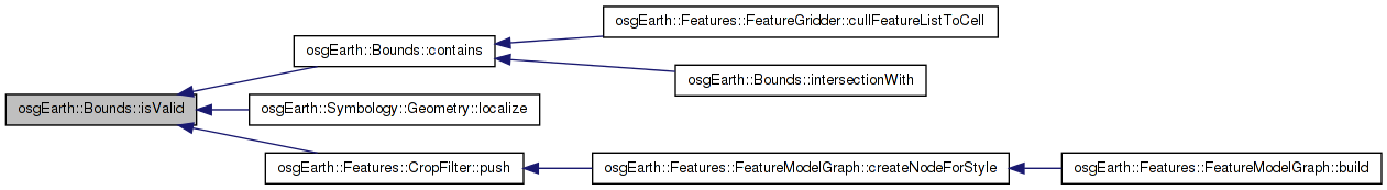
| bool Bounds::isValid | ( | ) | const |
Definition at line 54 of file GeoData.cpp.
{
    return xMin() <= xMax() && yMin() <= yMax();
}
Here is the caller graph for this function:| double Bounds::radius2d | ( | ) | const |
Definition at line 155 of file GeoData.cpp.
                       {
    return (center2d() - osg::Vec2d(xMin(),yMin())).length();
}
Here is the call graph for this function:| std::string Bounds::toString | ( | ) | const |
Definition at line 160 of file GeoData.cpp.
                       {
    std::stringstream buf;
    buf << "(" << xMin() << "," << yMin() << " => " << xMax() << "," << yMax() << ")";
    std::string result = buf.str();
    return result;
}
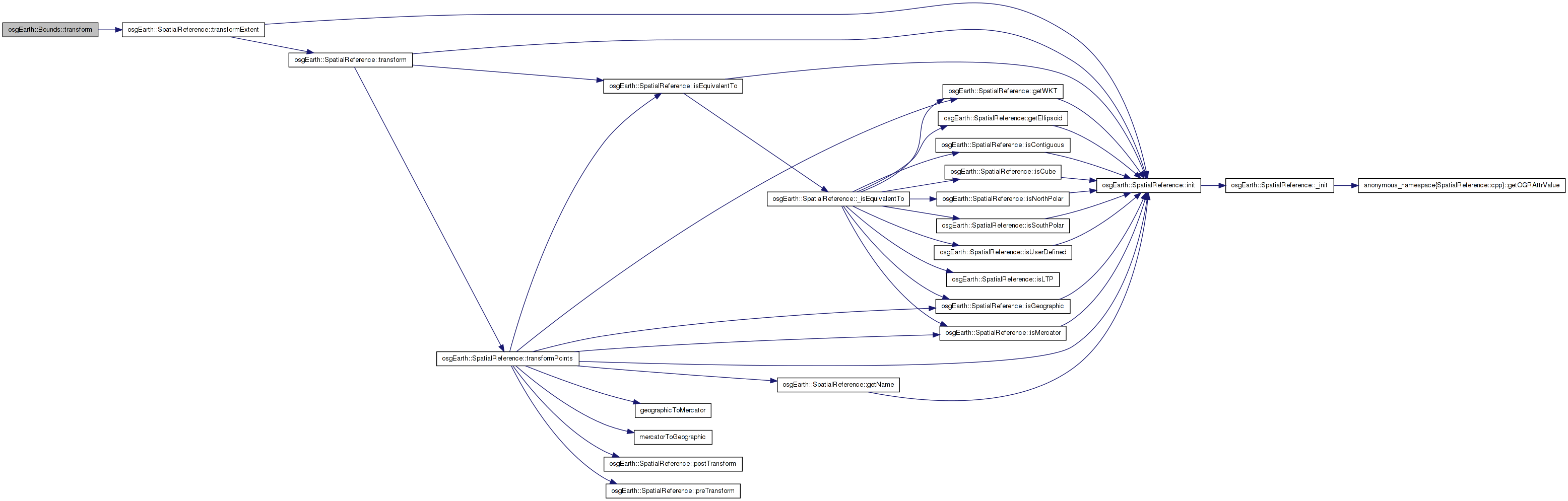
| void Bounds::transform | ( | const SpatialReference * | fromSRS, |
| const SpatialReference * | toSRS | ||
| ) |
Definition at line 168 of file GeoData.cpp.
{
    from->transformExtent( to, _min.x(), _min.y(), _max.x(), _max.y() );
}
Here is the call graph for this function: Here is the caller graph for this function:Definition at line 95 of file GeoData.cpp.
{
    if ( valid() && !rhs.valid() ) return *this;
    if ( !valid() && rhs.valid() ) return rhs;

    Bounds u;
    if ( intersects(rhs) ) {
        u.xMin() = xMin() >= rhs.xMin() && xMin() <= rhs.xMax() ? xMin() : rhs.xMin();
        u.xMax() = xMax() >= rhs.xMin() && xMax() <= rhs.xMax() ? xMax() : rhs.xMax();
        u.yMin() = yMin() >= rhs.yMin() && yMin() <= rhs.yMax() ? yMin() : rhs.yMin();
        u.yMax() = yMax() >= rhs.yMin() && yMax() <= rhs.yMax() ? yMax() : rhs.yMax();
        u.zMin() = zMin() >= rhs.zMin() && zMin() <= rhs.zMax() ? zMin() : rhs.zMin();
        u.zMax() = zMax() >= rhs.zMin() && zMax() <= rhs.zMax() ? zMax() : rhs.zMax();
    }
    return u;
}
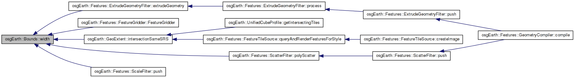
Here is the call graph for this function:| double Bounds::width | ( | ) | const |
Definition at line 134 of file GeoData.cpp.
                    {
    return xMax()-xMin();
}
Here is the caller graph for this function: 1.7.3
1.7.3