|
osgEarth 2.1.1
|
|
osgEarth 2.1.1
|
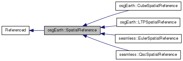
 Inheritance diagram for osgEarth::SpatialReference: Collaboration diagram for osgEarth::SpatialReference:
Public Member Functions | |
| virtual bool | transform (double x, double y, double z, const SpatialReference *to_srs, double &out_x, double &out_y, double &out_z, void *context=0L) const |
| bool | transform (const osg::Vec3d &input, const SpatialReference *to_srs, osg::Vec3d &output, void *context=0L) const |
| bool | transform2D (double x, double y, const SpatialReference *to_srs, double &out_x, double &out_y, void *context=0L) const |
| virtual bool | transformPoints (const SpatialReference *to_srs, double *x, double *y, double *z, unsigned int numPoints, void *context=0L, bool ignore_errors=false) const |
| virtual bool | transformPoints (const SpatialReference *to_srs, std::vector< osg::Vec3d > &points, void *context=0L, bool ignore_errors=false) const |
| bool | transformToECEF (const osg::Vec3d &input, osg::Vec3d &output) const |
| bool | transformToECEF (std::vector< osg::Vec3d > &points, bool ignore_errors=false) const |
| bool | transformFromECEF (const osg::Vec3d &input, osg::Vec3d &output) const |
| bool | transformFromECEF (std::vector< osg::Vec3d > &points, bool ignoreErrors=false) const |
| virtual bool | transformExtent (const SpatialReference *to_srs, double &in_out_xmin, double &in_out_ymin, double &in_out_xmax, double &in_out_ymax, void *context=0L) const |
| virtual bool | transformExtentPoints (const SpatialReference *to_srs, double in_xmin, double in_ymin, double in_xmax, double in_ymax, double *x, double *y, unsigned int numx, unsigned int numy, void *context=0L, bool ignore_errors=false) const |
| virtual bool | isGeographic () const |
| virtual bool | isProjected () const |
| bool | isMercator () const |
| bool | isNorthPolar () const |
| bool | isSouthPolar () const |
| virtual bool | isUserDefined () const |
| virtual bool | isContiguous () const |
| virtual bool | isCube () const |
| virtual bool | isLTP () const |
| const std::string & | getName () const |
| const osg::EllipsoidModel * | getEllipsoid () const |
| const std::string & | getWKT () const |
| const std::string & | getInitType () const |
| const std::string & | getInitString () const |
| const std::string & | getDatumName () const |
| virtual bool | isEquivalentTo (const SpatialReference *rhs) const |
| const SpatialReference * | getGeographicSRS () const |
| SpatialReference * | createTangentPlaneSRS (const osg::Vec3d &refPos) const |
| SpatialReference * | createTransMercFromLongitude (const Angular &lon) const |
| SpatialReference * | createUTMFromLongitude (const Angular &lon) const |
| osg::CoordinateSystemNode * | createCoordinateSystemNode () const |
| bool | populateCoordinateSystemNode (osg::CoordinateSystemNode *csn) const |
| virtual GeoLocator * | createLocator (double xmin, double ymin, double xmax, double ymax, bool plate_carre=false) const |
Static Public Member Functions | |
| static SpatialReference * | create (const std::string &init) |
| static SpatialReference * | create (osg::CoordinateSystemNode *csn) |
| static SpatialReference * | createFromHandle (void *ogrHandle, bool xferOwnership=false) |
Protected Types | |
| typedef std::map< std::string, void * > | TransformHandleCache |
| typedef std::map< std::string, osg::ref_ptr< SpatialReference > > | SpatialReferenceCache |
Protected Member Functions | |
| virtual | ~SpatialReference () |
| SpatialReference (void *handle, const std::string &type, const std::string &init_str, const std::string &name) | |
| SpatialReference (void *handle, bool ownsHandle=true) | |
| void | init () |
| virtual void | _init () |
| virtual bool | _isEquivalentTo (const SpatialReference *srs) const |
| virtual bool | preTransform (double &x, double &y, double &z, void *context) const |
| virtual bool | postTransform (double &x, double &y, double &z, void *context) const |
Static Protected Member Functions | |
| static SpatialReferenceCache & | getSpatialReferenceCache () |
Protected Attributes | |
| bool | _initialized |
| void * | _handle |
| bool | _owns_handle |
| bool | _is_geographic |
| bool | _is_mercator |
| bool | _is_north_polar |
| bool | _is_south_polar |
| bool | _is_cube |
| bool | _is_contiguous |
| bool | _is_user_defined |
| bool | _is_ltp |
| std::string | _name |
| std::string | _wkt |
| std::string | _proj4 |
| std::string | _init_type |
| std::string | _init_str |
| std::string | _init_str_lc |
| std::string | _datum |
| osg::ref_ptr< osg::EllipsoidModel > | _ellipsoid |
| osg::ref_ptr< SpatialReference > | _geo_srs |
| TransformHandleCache | _transformHandleCache |
Private Member Functions | |
| SpatialReference * | validate () |
Static Private Member Functions | |
| static SpatialReference * | createFromWKT (const std::string &wkt, const std::string &alias, const std::string &name="") |
| static SpatialReference * | createFromPROJ4 (const std::string &proj4, const std::string &alias, const std::string &name="") |
| static SpatialReference * | createCube () |
SpatialReference holds information describing the reference ellipsoid/datum and the projection of geospatial data.
Definition at line 46 of file SpatialReference.
typedef std::map< std::string, osg::ref_ptr<SpatialReference> > osgEarth::SpatialReference::SpatialReferenceCache [protected] |
Definition at line 300 of file SpatialReference.
typedef std::map<std::string,void*> osgEarth::SpatialReference::TransformHandleCache [protected] |
Definition at line 287 of file SpatialReference.
| SpatialReference::~SpatialReference | ( | ) | [protected, virtual] |
Definition at line 360 of file SpatialReference.cpp.
{
    if ( _handle )
    {
        GDAL_SCOPED_LOCK;

        for (TransformHandleCache::iterator itr = _transformHandleCache.begin(); itr != _transformHandleCache.end(); ++itr)
        {
            OCTDestroyCoordinateTransformation(itr->second);
        }

        if ( _owns_handle )
        {
            OSRDestroySpatialReference( _handle );
        }

        _handle = NULL;
    }
}
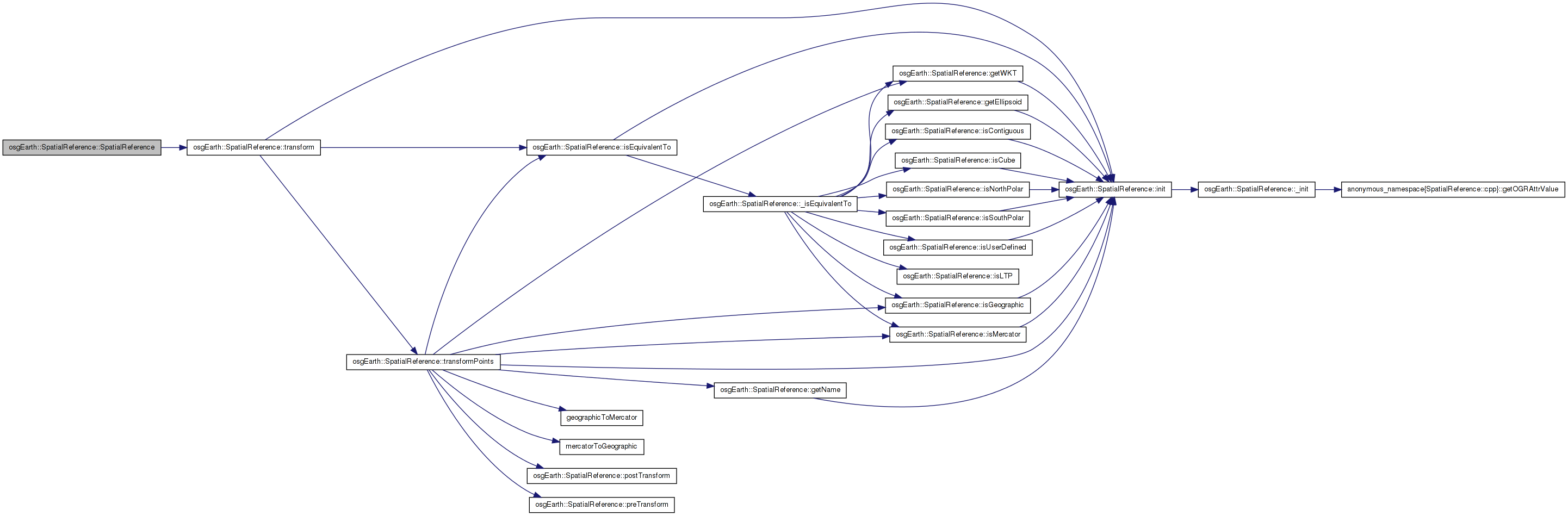
| SpatialReference::SpatialReference | ( | void * | handle, |
| const std::string & | type, | ||
| const std::string & | init_str, | ||
| const std::string & | name | ||
| ) | [protected] |
Definition at line 327 of file SpatialReference.cpp.
                                                           :
osg::Referenced( true ),
_initialized( false ),
_handle( handle ),
_owns_handle( true ),
_name( name ),
_init_type( init_type ),
_init_str( init_str ),
_is_geographic( false ),
_is_mercator( false ),
_is_north_polar( false ),
_is_south_polar( false ),
_is_cube( false ),
_is_contiguous( false ),
_is_user_defined( false ),
_is_ltp( false )
{
    _init_str_lc = init_str;
    std::transform( _init_str_lc.begin(), _init_str_lc.end(), _init_str_lc.begin(), ::tolower );
}
Here is the call graph for this function: Here is the caller graph for this function:| SpatialReference::SpatialReference | ( | void * | handle, |
| bool | ownsHandle = true |
||
| ) | [protected] |
Definition at line 351 of file SpatialReference.cpp.
                                                                :
osg::Referenced( true ),
_initialized( false ),
_handle( handle ),
_owns_handle( ownsHandle )
{
    //nop
}
| void SpatialReference::_init | ( | ) | [protected, virtual] |
Reimplemented in osgEarth::CubeSpatialReference, osgEarth::LTPSpatialReference, seamless::EulerSpatialReference, and seamless::QscSpatialReference.
Definition at line 1090 of file SpatialReference.cpp.
{
    // set defaults:
    _is_user_defined = false;
    _is_contiguous = true;
    _is_cube = false;
    _is_geographic = OSRIsGeographic( _handle ) != 0;

    // extract the ellipsoid parameters:
    int err;
    double semi_major_axis = OSRGetSemiMajor( _handle, &err );
    double semi_minor_axis = OSRGetSemiMinor( _handle, &err );
    _ellipsoid = new osg::EllipsoidModel( semi_major_axis, semi_minor_axis );

    // try to get an ellipsoid name:
    _ellipsoid->setName( getOGRAttrValue(_handle, "SPHEROID", 0, true) );

    // extract the projection:
    if ( _name.empty() || _name == "unnamed" )
    {
        _name = _is_geographic?
            getOGRAttrValue( _handle, "GEOGCS", 0 ) :
            getOGRAttrValue( _handle, "PROJCS", 0 );
    }
    std::string proj = getOGRAttrValue( _handle, "PROJECTION", 0, true );

    // check for the Mercator projection:
    _is_mercator = !proj.empty() && proj.find("mercator")==0;

    // check for the Polar projection:
    if ( !proj.empty() && proj.find("polar_stereographic") != std::string::npos )
    {
        double lat = as<double>( getOGRAttrValue( _handle, "latitude_of_origin", 0, true ), -90.0 );
        _is_north_polar = lat > 0.0;
        _is_south_polar = lat < 0.0;
    }
        else
        {
                _is_north_polar = false;
                _is_south_polar = false;
        }

    // Give the SRS a name if it doesn't have one:
    if ( _name == "unnamed" || _name.empty() )
    {
        _name =
            _is_geographic? "Geographic CS" :
            _is_mercator? "Mercator CS" :
            ( !proj.empty()? proj : "Projected CS" );
    }

    // Try to extract the OGC well-known-text (WKT) string:
    char* wktbuf;
    if ( OSRExportToWkt( _handle, &wktbuf ) == OGRERR_NONE )
    {
        _wkt = wktbuf;
        OGRFree( wktbuf );
    }

    // If the user did not specify and initialization string, use the WKT.
    if ( _init_str.empty() )
    {
        _init_str = _wkt;
        _init_type = "WKT";
    }

    // Try to extract the PROJ4 initialization string:
    char* proj4buf;
    if ( OSRExportToProj4( _handle, &proj4buf ) == OGRERR_NONE )
    {
        _proj4 = proj4buf;
        OGRFree( proj4buf );
    }

    // Try to extract the datum
    _datum = getOGRAttrValue( _handle, "DATUM", 0, true );

    _initialized = true;
}
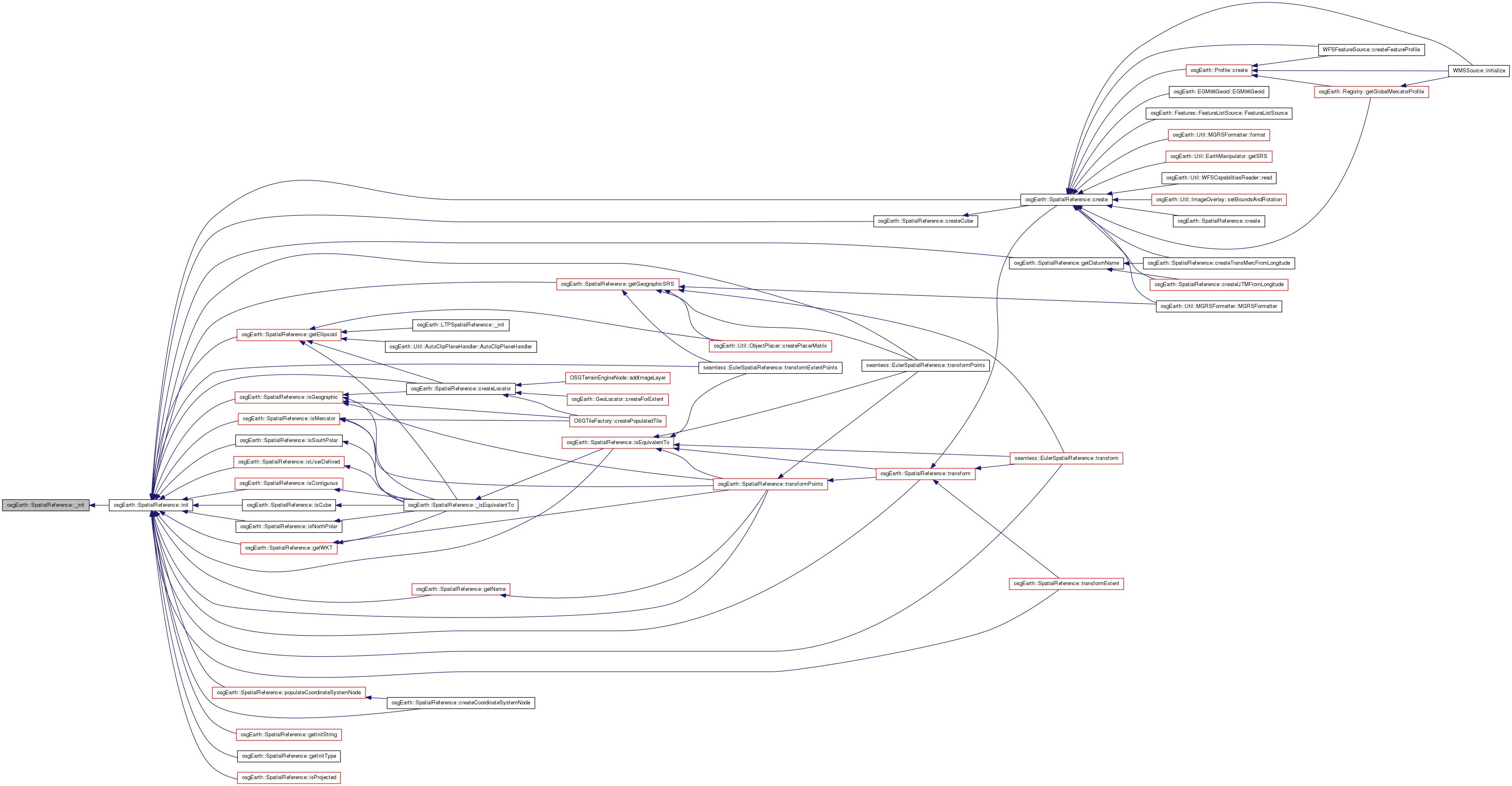
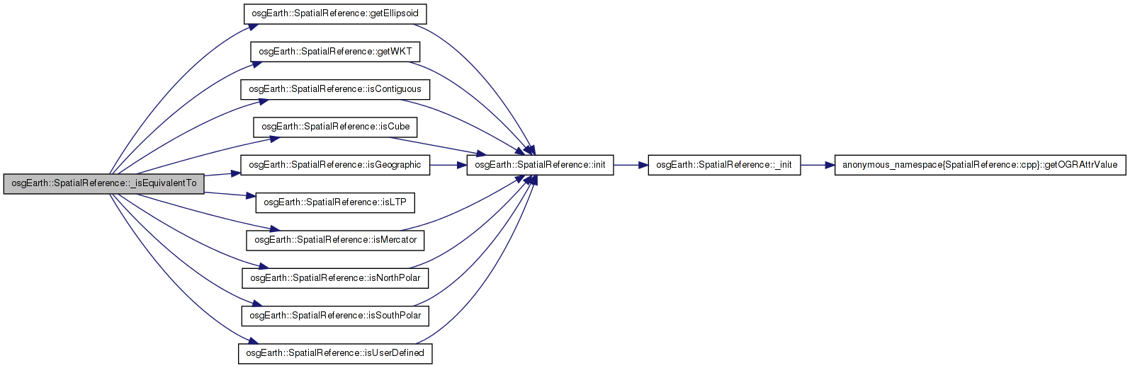
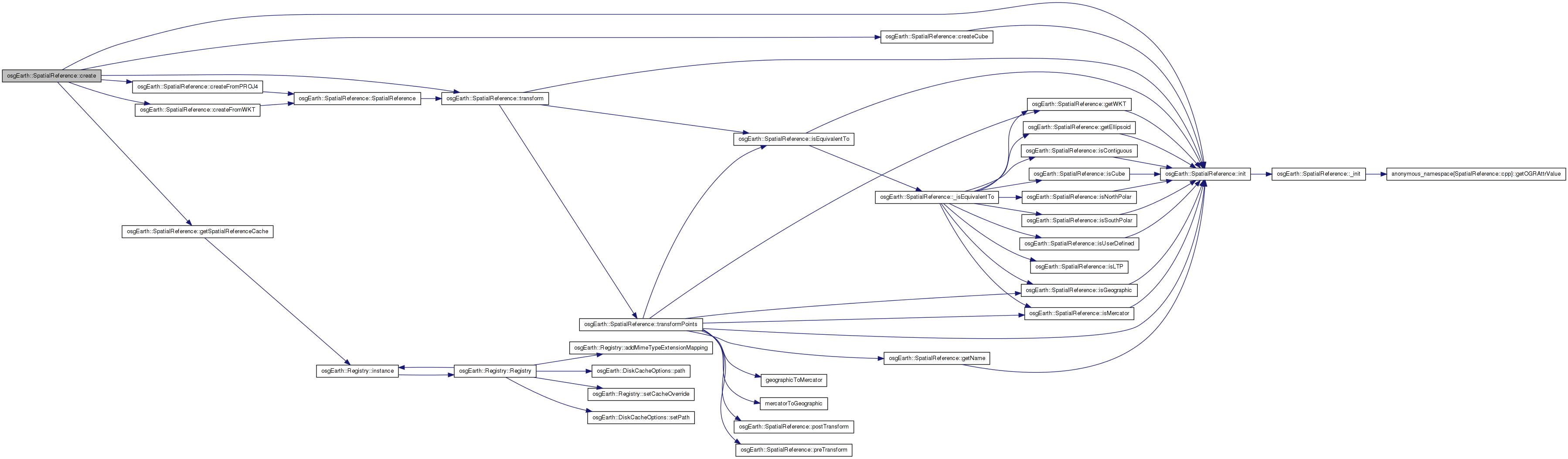
Here is the call graph for this function: Here is the caller graph for this function:| bool SpatialReference::_isEquivalentTo | ( | const SpatialReference * | srs | ) | const [protected, virtual] |
Reimplemented in osgEarth::LTPSpatialReference.
Definition at line 454 of file SpatialReference.cpp.
{
    if ( !rhs )
        return false;

    if ( this == rhs )
        return true;

    if (isGeographic()  != rhs->isGeographic()  ||
        isMercator()    != rhs->isMercator()    ||
        isNorthPolar()  != rhs->isNorthPolar()  ||
        isSouthPolar()  != rhs->isSouthPolar()  ||
        isContiguous()  != rhs->isContiguous()  ||
        isUserDefined() != rhs->isUserDefined() ||
        isCube()        != rhs->isCube()        ||
        isLTP()         != rhs->isLTP() )
    {
        return false;
    }

    if ( _init_str_lc == rhs->_init_str_lc )
        return true;

    if ( this->getWKT() == rhs->getWKT() )
        return true;

    if (this->isGeographic() && rhs->isGeographic() &&
        this->getEllipsoid()->getRadiusEquator() == rhs->getEllipsoid()->getRadiusEquator() &&
        this->getEllipsoid()->getRadiusPolar() == rhs->getEllipsoid()->getRadiusPolar())
    {
        return true;
    }

    // last resort, since it requires the lock
    GDAL_SCOPED_LOCK;
    return TRUE == ::OSRIsSame( _handle, rhs->_handle );
}
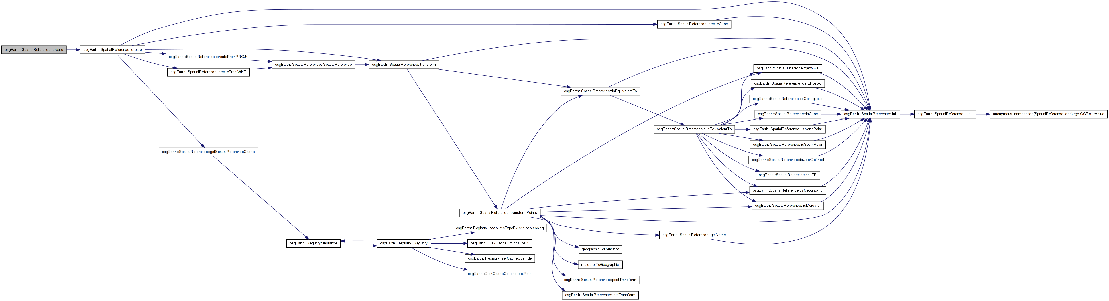
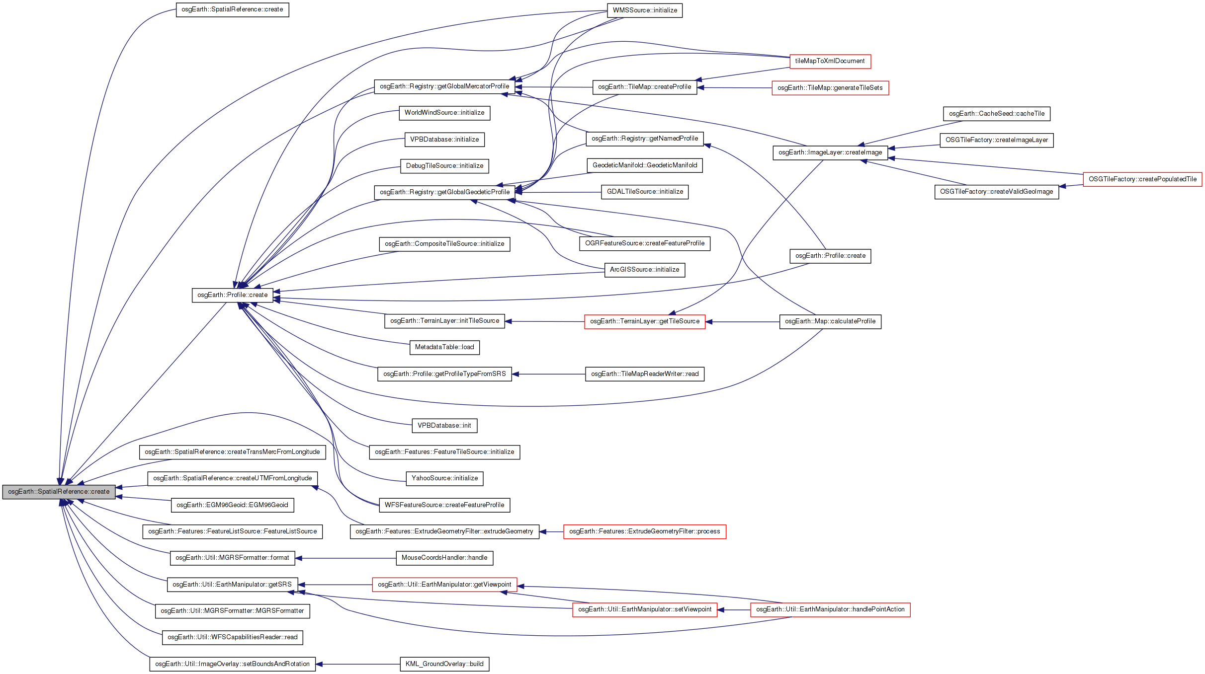
Here is the call graph for this function: Here is the caller graph for this function:| SpatialReference * SpatialReference::create | ( | osg::CoordinateSystemNode * | csn | ) | [static] |
Attempts to create a spatial reference def from a pre-existing CSN, returning NULL if there is not enough information.
Definition at line 262 of file SpatialReference.cpp.
{
    SpatialReference* result = NULL;
    if ( csn && !csn->getCoordinateSystem().empty() )
    {
        result = create( csn->getCoordinateSystem() );
    }
    return result;
}
Here is the call graph for this function:| SpatialReference * SpatialReference::create | ( | const std::string & | init | ) | [static] |
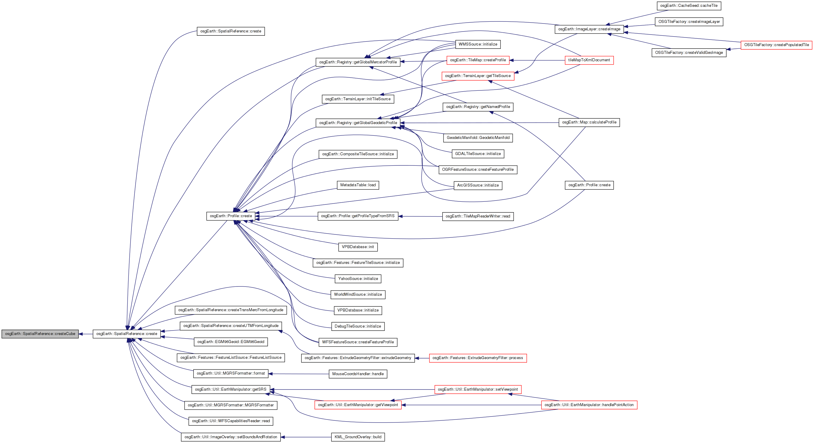
Creates an SRS from an initialization string. This can be a variety of things, including a WKT spec, a PROJ4 init string, or a "well-known" idenfitier (e.g., "WGS84" or "spherical-mercator").
Definition at line 186 of file SpatialReference.cpp.
{
    static OpenThreads::Mutex s_mutex;
    OpenThreads::ScopedLock<OpenThreads::Mutex> exclusiveLock(s_mutex);

    std::string low = init;
    std::transform( low.begin(), low.end(), low.begin(), ::tolower );

    SpatialReferenceCache::iterator itr = getSpatialReferenceCache().find(init);
    if (itr != getSpatialReferenceCache().end())
    {
        //OE_NOTICE << "Returning cached SRS" << std::endl;
        return itr->second.get();
    }

    osg::ref_ptr<SpatialReference> srs;

    // shortcut for spherical-mercator:
    if (low == "spherical-mercator" || low == "epsg:900913" || low == "epsg:3785" ||
        low == "epsg:41001" || low == "epsg:102113" || low == "epsg:102100")
    {
        // note the use of nadgrids=@null (see http://proj.maptools.org/faq.html)
        // adjusted +a by ONE to work around osg manipulator error until we can figure out why.. GW
        srs = createFromPROJ4(
            "+proj=merc +a=6378137 +b=6378137 +lon_0=0 +k=1 +x_0=0 +y_0=0 +nadgrids=@null +units=m +no_defs",
            init,
            "Spherical Mercator" );
    }

    // ellipsoidal ("world") mercator:
    else if (low == "epsg:54004" || low == "epsg:9804" || low == "epsg:3832")
    {
        srs = createFromPROJ4(
            "+proj=merc +lon_0=0 +k=1 +x_0=0 +y_0=0 +ellps=WGS84 +datum=WGS84 +units=m +no_defs",
            init,
            "World Mercator" );
    }

    // common WGS84:
    else if (low == "epsg:4326" || low == "wgs84")
    {
        srs = createFromPROJ4(
            "+proj=longlat +ellps=WGS84 +datum=WGS84 +no_defs",
            init,
            "WGS84" );
    }

    // custom srs for the unified cube
    else if ( low == "unified-cube" )
    {
        srs = createCube();
    }

    else if ( low.find( "+" ) == 0 )
    {
        srs = createFromPROJ4( low, init );
    }
    else if ( low.find( "epsg:" ) == 0 || low.find( "osgeo:" ) == 0 )
    {
        srs = createFromPROJ4( std::string("+init=") + low, init );
    }
    else if ( low.find( "projcs" ) == 0 || low.find( "geogcs" ) == 0 )
    {
        srs = createFromWKT( init, init );
    }
    else
    {
        return NULL;
    }

    getSpatialReferenceCache()[init] = srs;
    return srs.get();
}
Here is the call graph for this function: Here is the caller graph for this function:| osg::CoordinateSystemNode * SpatialReference::createCoordinateSystemNode | ( | ) | const |
Creates a new CSN based on this spatial reference.
Definition at line 616 of file SpatialReference.cpp.
{
    if ( !_initialized )
        const_cast<SpatialReference*>(this)->init();

    osg::CoordinateSystemNode* csn = new osg::CoordinateSystemNode();
    populateCoordinateSystemNode( csn );
    return csn;
}
Here is the call graph for this function:| SpatialReference * SpatialReference::createCube | ( | ) | [static, private] |
Definition at line 104 of file SpatialReference.cpp.
{
    // root the cube srs with a WGS84 intermediate ellipsoid.
    std::string init = "+proj=longlat +ellps=WGS84 +datum=WGS84 +no_defs";

    SpatialReference* result = NULL;
    GDAL_SCOPED_LOCK;
        void* handle = OSRNewSpatialReference( NULL );
    if ( OSRImportFromProj4( handle, init.c_str() ) == OGRERR_NONE )
        {
        result = new CubeSpatialReference( handle );
        }
        else
        {
        OE_WARN << LC << "Unable to create SRS: " << init << std::endl;
                OSRDestroySpatialReference( handle );
        }
    return result;
}
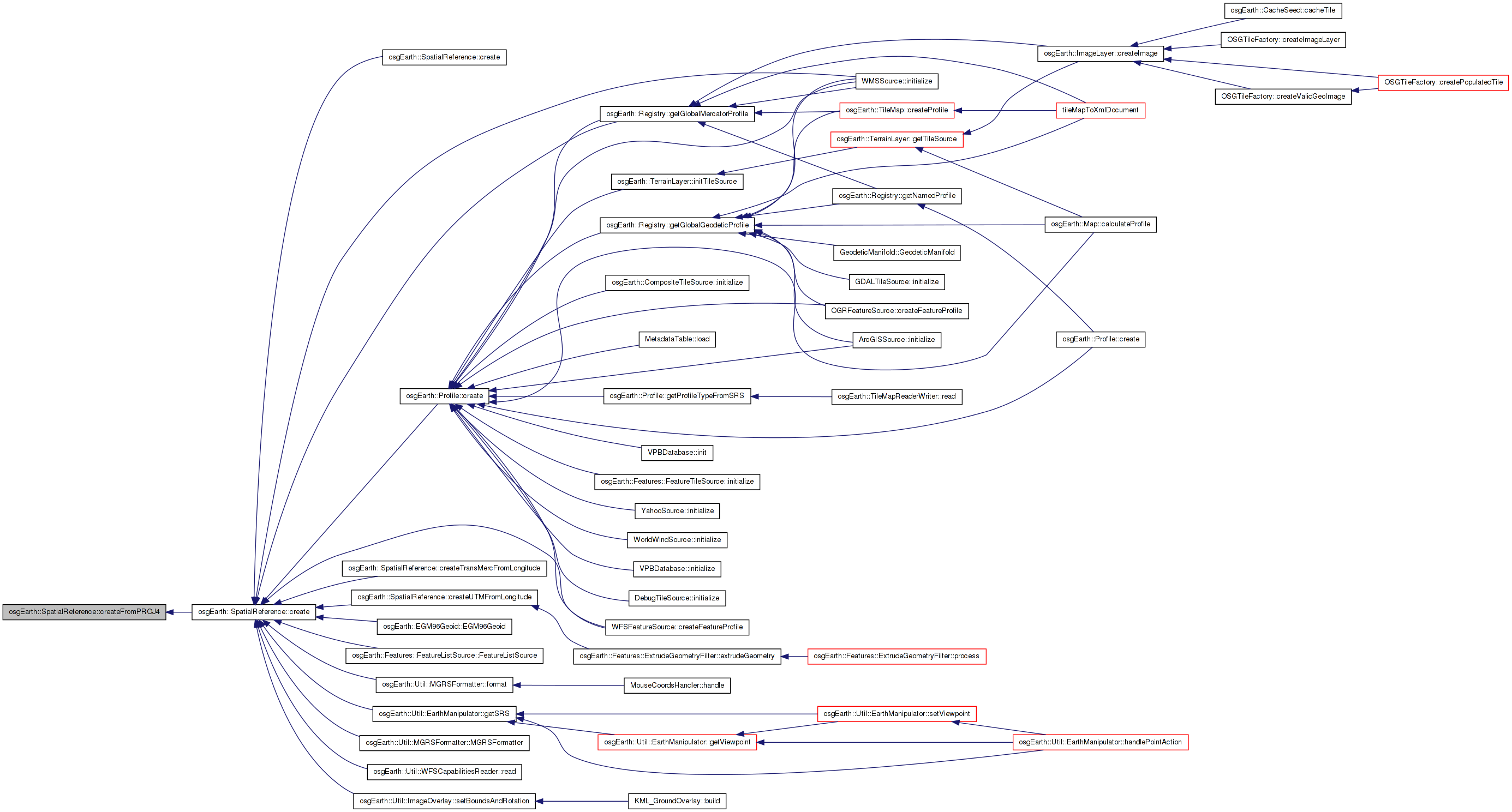
Here is the call graph for this function: Here is the caller graph for this function:| SpatialReference * SpatialReference::createFromHandle | ( | void * | ogrHandle, |
| bool | xferOwnership = false |
||
| ) | [static] |
Creates an SRS around a pre-existing OGR spatial reference handle. The new SpatialReference object takes ownership of the handle.
| xferOwnership | If true, the SpatialReference object is responsible for releasing the handle upon destruction. |
Definition at line 274 of file SpatialReference.cpp.
{
    SpatialReference* srs = new SpatialReference( ogrHandle, xferOwnership );
    return srs;
}
Here is the call graph for this function: Here is the caller graph for this function:| SpatialReference * SpatialReference::createFromPROJ4 | ( | const std::string & | proj4, |
| const std::string & | alias, | ||
| const std::string & | name = "" |
||
| ) | [static, private] |
Definition at line 86 of file SpatialReference.cpp.
{
    SpatialReference* result = NULL;
    GDAL_SCOPED_LOCK;
        void* handle = OSRNewSpatialReference( NULL );
    if ( OSRImportFromProj4( handle, init.c_str() ) == OGRERR_NONE )
        {
        result = new SpatialReference( handle, "PROJ4", init_alias, name );
        }
        else
        {
        OE_WARN << LC << "Unable to create spatial reference from PROJ4: " << init << std::endl;
                OSRDestroySpatialReference( handle );
        }
    return result;
}
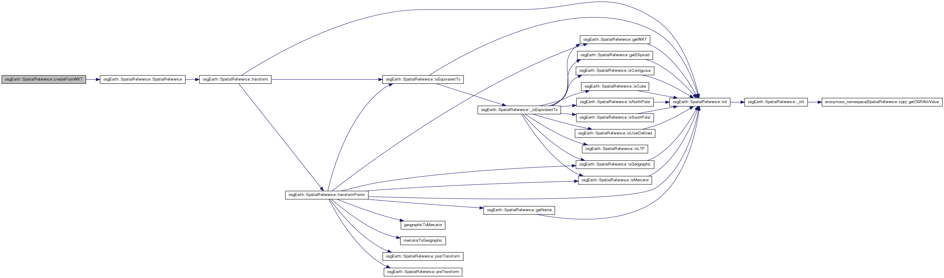
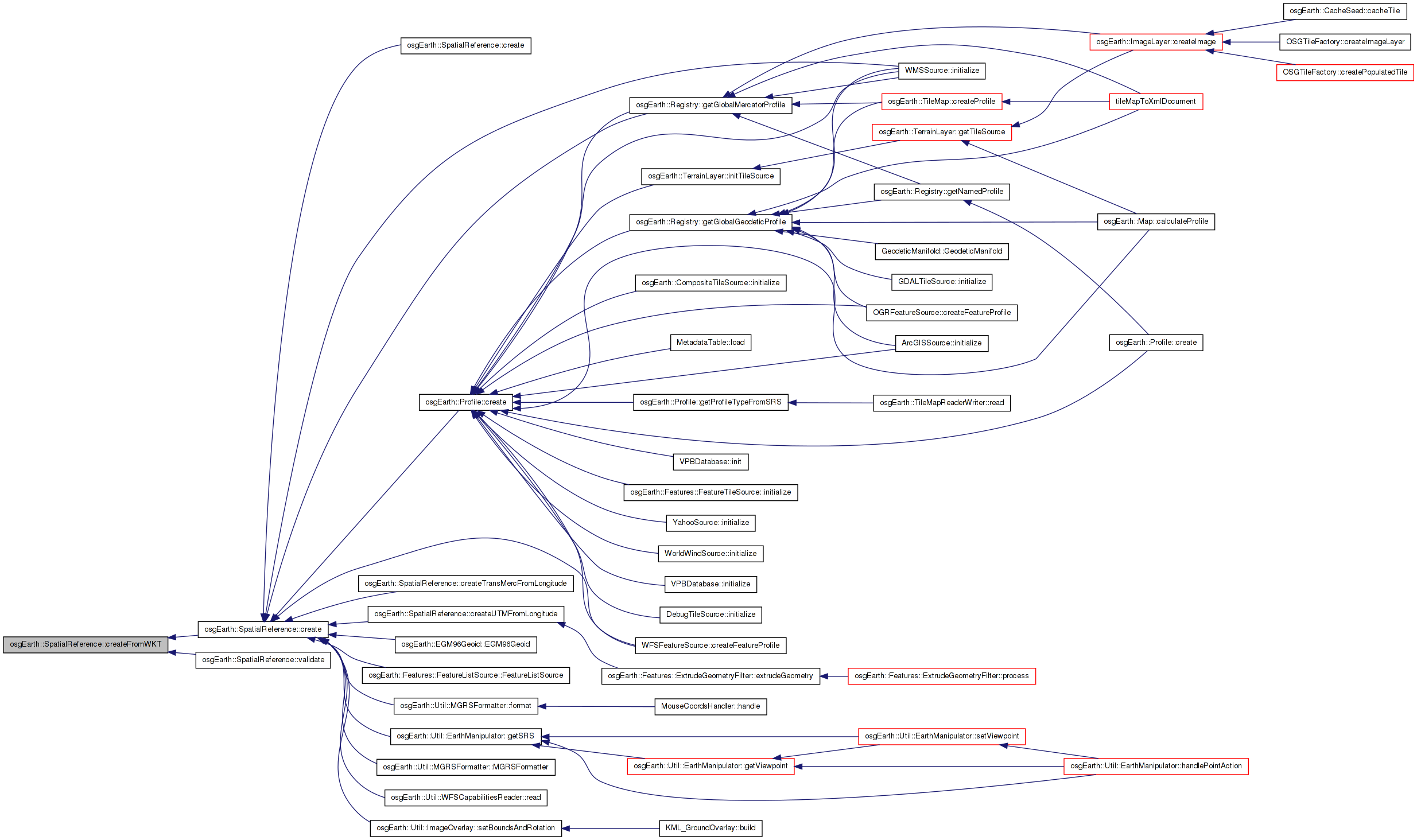
Here is the call graph for this function: Here is the caller graph for this function:| SpatialReference * SpatialReference::createFromWKT | ( | const std::string & | wkt, |
| const std::string & | alias, | ||
| const std::string & | name = "" |
||
| ) | [static, private] |
Definition at line 164 of file SpatialReference.cpp.
{
    osg::ref_ptr<SpatialReference> result;
    GDAL_SCOPED_LOCK;
        void* handle = OSRNewSpatialReference( NULL );
    char buf[4096];
    char* buf_ptr = &buf[0];
        strcpy( buf, init.c_str() );
        if ( OSRImportFromWkt( handle, &buf_ptr ) == OGRERR_NONE )
        {
        result = new SpatialReference( handle, "WKT", init_alias, name );
        result = result->validate();
        }
        else
        {
                OE_WARN << LC << "Unable to create spatial reference from WKT: " << init << std::endl;
                OSRDestroySpatialReference( handle );
        }
    return result.release();
}
Here is the call graph for this function: Here is the caller graph for this function:| GeoLocator * SpatialReference::createLocator | ( | double | xmin, |
| double | ymin, | ||
| double | xmax, | ||
| double | ymax, | ||
| bool | plate_carre = false |
||
| ) | const [virtual] |
Creates a new Locator object based on this spatial reference.
| xmin,ymin,xmax,ymax | Extents of the tile for which to create a locator. These should be in degrees for a geographic/geocentric scene. |
| plate_carre | Set this to true for the special case in which you are using a geographic SRS with a PROJECTED map (like flat-earth lat/long). |
Reimplemented in osgEarth::CubeSpatialReference, seamless::EulerSpatialReference, and seamless::QscSpatialReference.
Definition at line 672 of file SpatialReference.cpp.
{
    if ( !_initialized )
        const_cast<SpatialReference*>(this)->init();

    GeoLocator* locator = new GeoLocator( GeoExtent(this, xmin, ymin, xmax, ymax) );
    locator->setEllipsoidModel( (osg::EllipsoidModel*)getEllipsoid() );
    locator->setCoordinateSystemType( isGeographic()? osgTerrain::Locator::GEOGRAPHIC : osgTerrain::Locator::PROJECTED );
    // note: not setting the format/cs on purpose.

    if ( isGeographic() && !plate_carre )
    {
        locator->setTransform( getTransformFromExtents(
            osg::DegreesToRadians( xmin ),
            osg::DegreesToRadians( ymin ),
            osg::DegreesToRadians( xmax ),
            osg::DegreesToRadians( ymax ) ) );
    }
    else
    {
        locator->setTransform( getTransformFromExtents( xmin, ymin, xmax, ymax ) );
    }
    return locator;
}
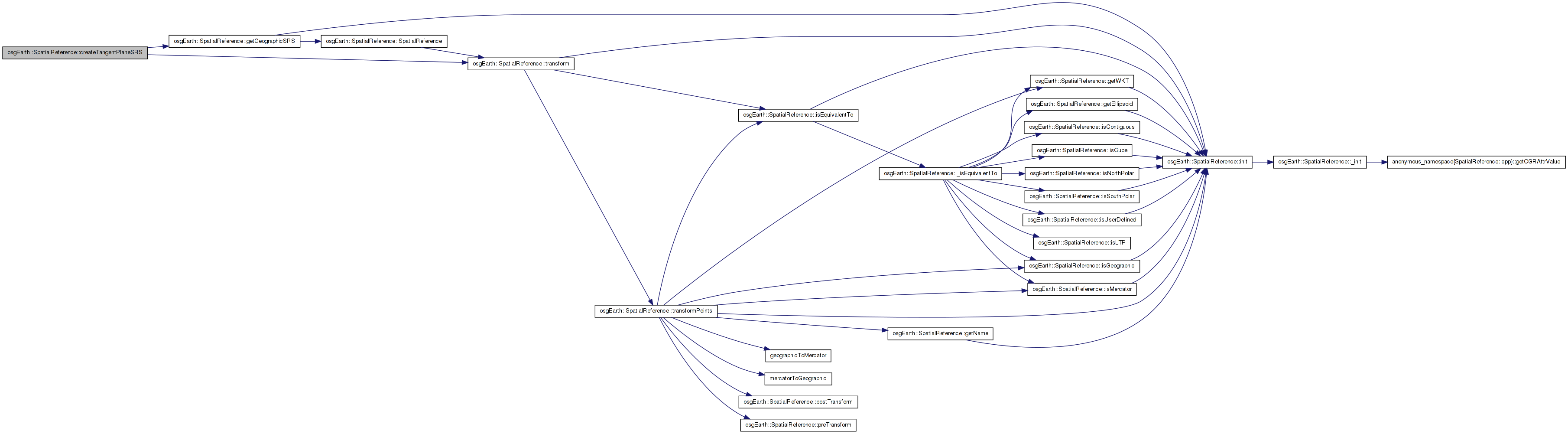
Here is the call graph for this function: Here is the caller graph for this function:| SpatialReference * SpatialReference::createTangentPlaneSRS | ( | const osg::Vec3d & | refPos | ) | const |
Creates and returns a local trangent plane SRS at the given reference location. The reference location is expressed in this object's SRS, but it tangent to the globe at getGeographicSRS(). LTP units are in meters.
Definition at line 524 of file SpatialReference.cpp.
{
    SpatialReference* result = 0L;
    osg::Vec3d lla;
    if ( this->transform(pos, this->getGeographicSRS(), lla) )
    {
        result = new LTPSpatialReference( this->getGeographicSRS()->_handle, lla );
    }
    else
    {
        OE_WARN << LC << "Unable to create LTP SRS" << std::endl;
    }
    return result;
}
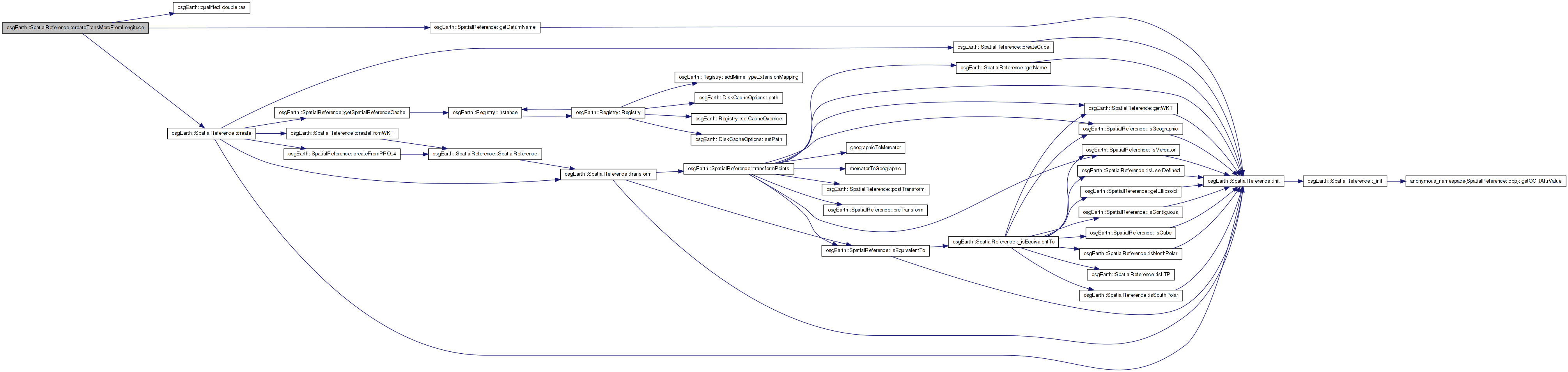
Here is the call graph for this function:| SpatialReference * SpatialReference::createTransMercFromLongitude | ( | const Angular & | lon | ) | const |
Creates a transverse mercator projection centered at the specified longitude.
Definition at line 540 of file SpatialReference.cpp.
{
    // note. using tmerc with +lat_0 <> 0 is sloooooow.
    std::string datum = getDatumName();
    std::stringstream buf;
    buf << "+proj=tmerc +lat_0=0"
        << " +lon_0=" << lon.as(Units::DEGREES)
        << " +datum=" << (!datum.empty() ? "wgs84" : datum);
    std::string projstr;
    projstr = buf.str();
    return create( projstr );
}
Here is the call graph for this function:| SpatialReference * SpatialReference::createUTMFromLongitude | ( | const Angular & | lon | ) | const |
Creates a UTM (universal transverse mercator) projection in the UTM zone containing the specified longitude. NOTE: this is slightly faster than using basic tmerc (transverse mercator) above.
Definition at line 554 of file SpatialReference.cpp.
{
    // note. UTM is up to 10% faster than TMERC for the same meridian.
    unsigned zone = 1 + (unsigned)floor((lon.as(Units::DEGREES)+180.0)/6.0);
    std::string datum = getDatumName();
    std::stringstream buf;
    buf << "+proj=utm +zone=" << zone
        << " +datum=" << (!datum.empty() ? "wgs84" : datum);
    std::string projstr;
    projstr = buf.str();
    return create( projstr );
}
Here is the call graph for this function: Here is the caller graph for this function:| const std::string & SpatialReference::getDatumName | ( | ) | const |
Gets the datum identifier of this SRS (or empty string if not available)
Definition at line 413 of file SpatialReference.cpp.
{
    if ( !_initialized )
        const_cast<SpatialReference*>(this)->init();
    return _datum;
}
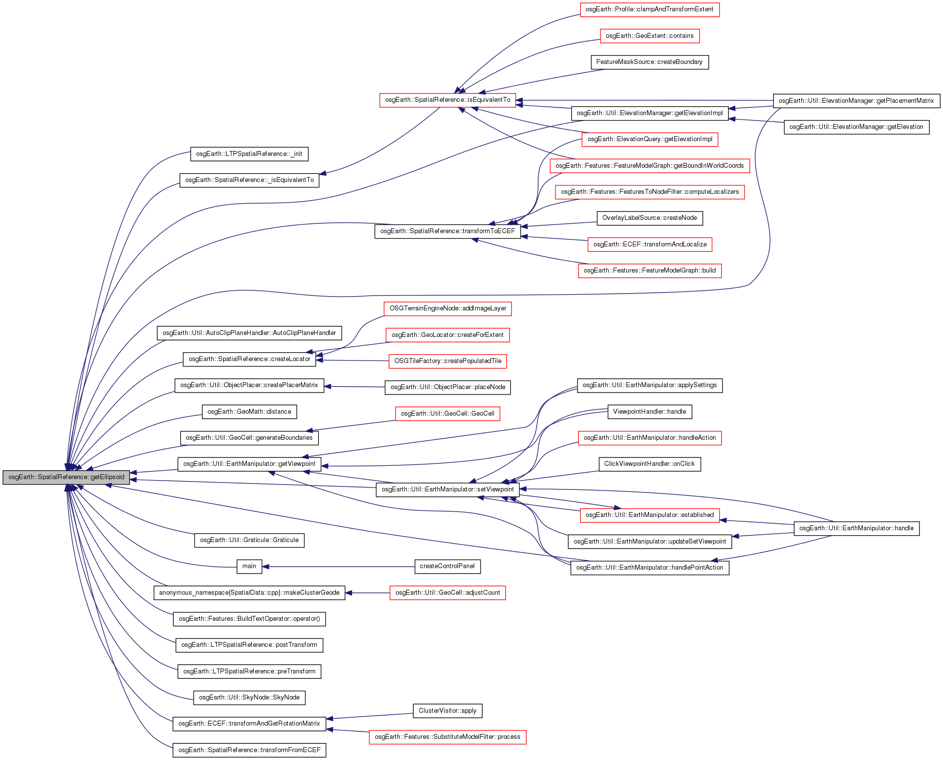
Here is the call graph for this function: Here is the caller graph for this function:| const osg::EllipsoidModel * SpatialReference::getEllipsoid | ( | ) | const |
Gets the underlying reference ellipsoid of this SRS
Definition at line 405 of file SpatialReference.cpp.
{
    if ( !_initialized )
        const_cast<SpatialReference*>(this)->init();
    return _ellipsoid.get();
}
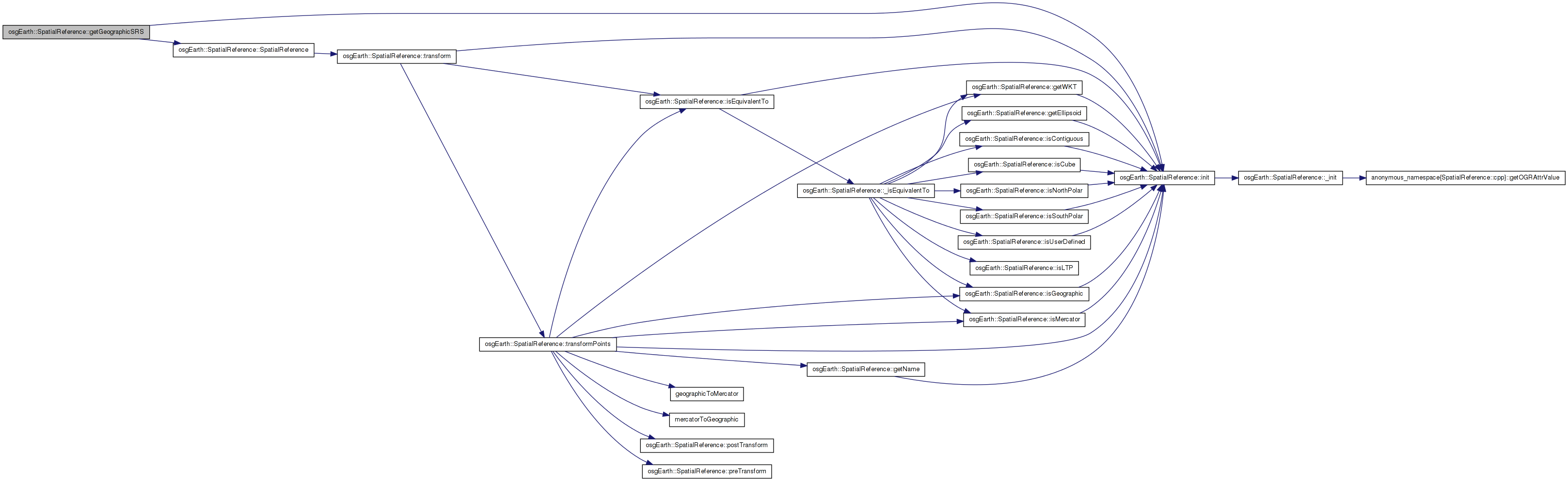
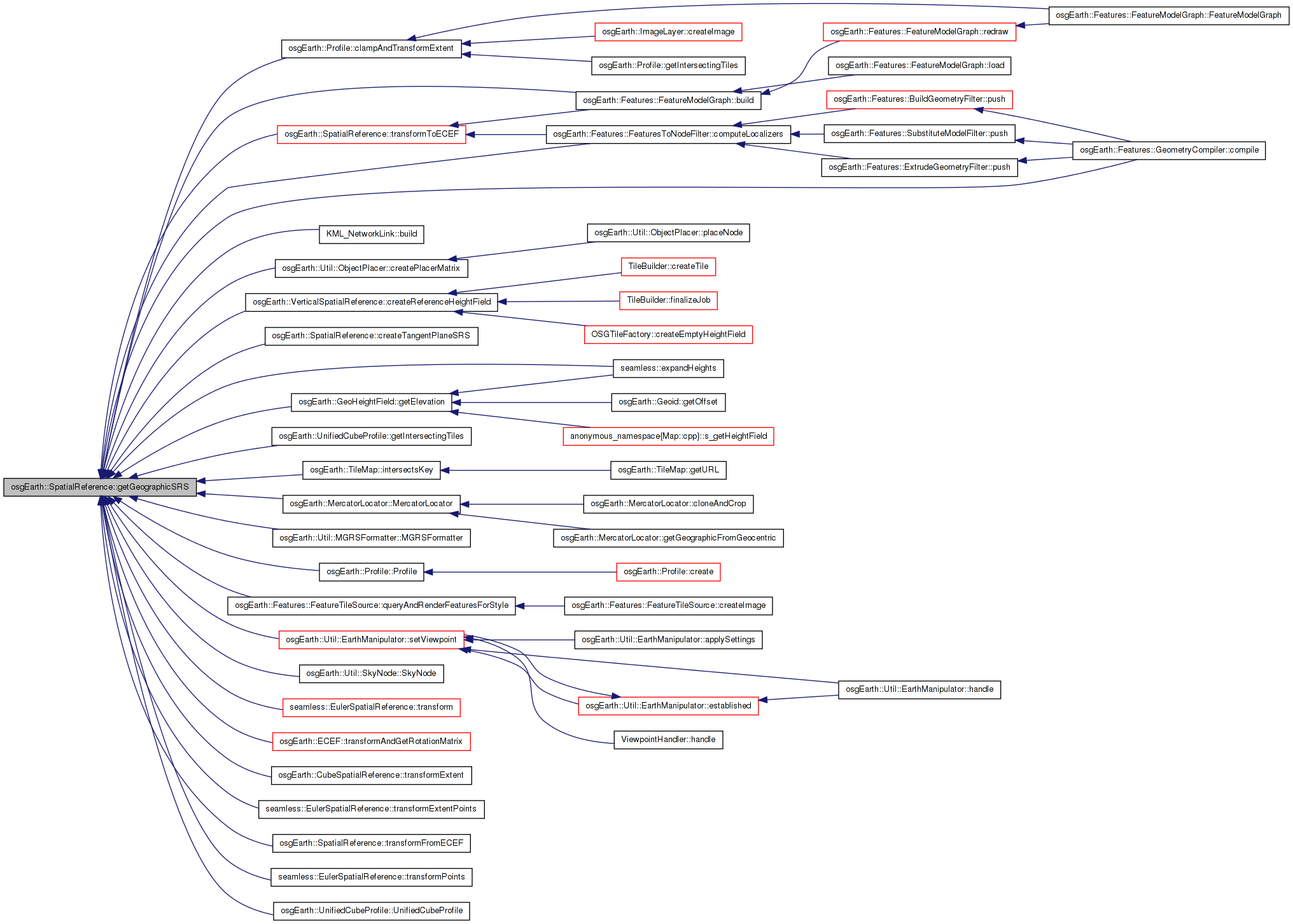
Here is the call graph for this function: Here is the caller graph for this function:| const SpatialReference * SpatialReference::getGeographicSRS | ( | ) | const |
Gets a reference to this SRS's underlying geographic SRS.
Definition at line 493 of file SpatialReference.cpp.
{
    if ( !_initialized )
        const_cast<SpatialReference*>(this)->init();

    if ( _is_geographic )
        return this;

    if ( !_geo_srs.valid() )
    {
        GDAL_SCOPED_LOCK;

        if ( !_geo_srs.valid() ) // double-check pattern
        {
            void* new_handle = OSRNewSpatialReference( NULL );
            int err = OSRCopyGeogCSFrom( new_handle, _handle );
            if ( err == OGRERR_NONE )
            {
                const_cast<SpatialReference*>(this)->_geo_srs = new SpatialReference( new_handle );
            }
            else
            {
                OSRDestroySpatialReference( new_handle );
            }
        }
    }

    return _geo_srs.get();
}
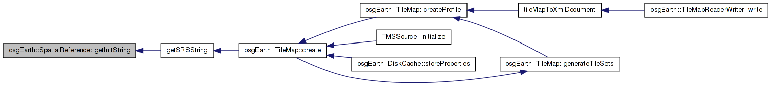
Here is the call graph for this function: Here is the caller graph for this function:| const std::string & SpatialReference::getInitString | ( | ) | const |
Gets the string that was used to initialize this SRS
Definition at line 429 of file SpatialReference.cpp.
{
    if ( !_initialized )
        const_cast<SpatialReference*>(this)->init();
    return _init_str;
}
Here is the call graph for this function: Here is the caller graph for this function:| const std::string & SpatialReference::getInitType | ( | ) | const |
Gets the initialization type (PROJ4, WKT, etc.)
Definition at line 437 of file SpatialReference.cpp.
{
    if ( !_initialized )
        const_cast<SpatialReference*>(this)->init();
    return _init_type;
}
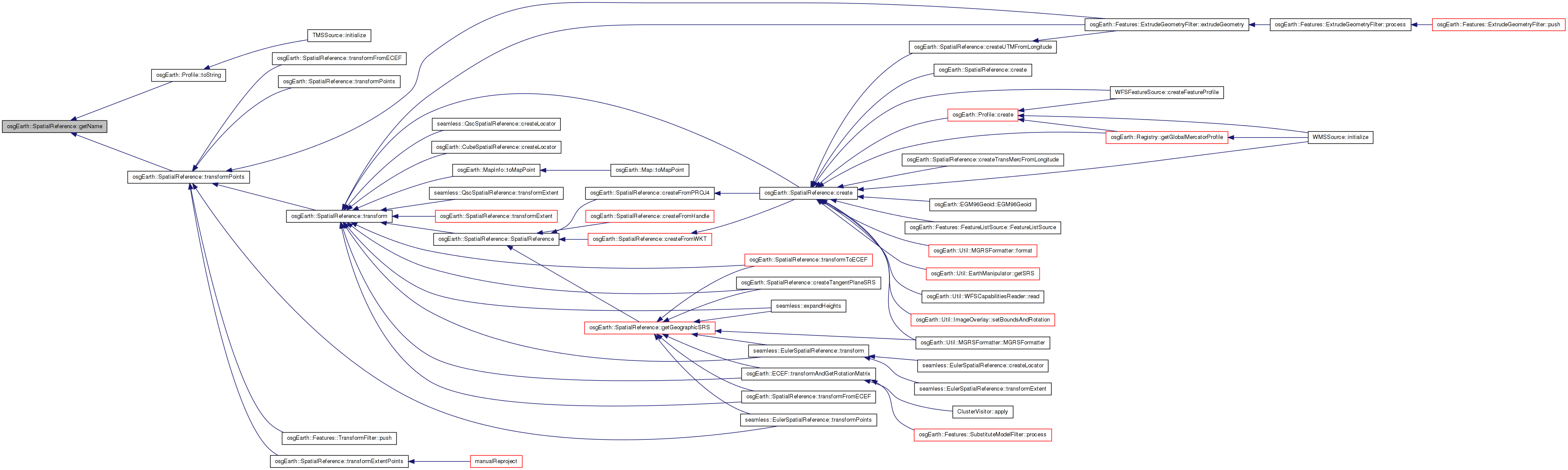
Here is the call graph for this function:| const std::string & SpatialReference::getName | ( | ) | const |
Gets the readable name of this SRS.
Definition at line 397 of file SpatialReference.cpp.
{
    if ( !_initialized )
        const_cast<SpatialReference*>(this)->init();
    return _name;
}
Here is the call graph for this function: Here is the caller graph for this function:| SpatialReference::SpatialReferenceCache & SpatialReference::getSpatialReferenceCache | ( | ) | [static, protected] |
Definition at line 76 of file SpatialReference.cpp.
{
    //Make sure the registry is created before the cache
    osgEarth::Registry::instance();
    static SpatialReferenceCache s_cache;
    return s_cache;
}
Here is the call graph for this function: Here is the caller graph for this function:| const std::string & SpatialReference::getWKT | ( | ) | const |
Gets the WKT string
Definition at line 421 of file SpatialReference.cpp.
{
    if ( !_initialized )
        const_cast<SpatialReference*>(this)->init();
    return _wkt;
}
Here is the call graph for this function: Here is the caller graph for this function:| void SpatialReference::init | ( | ) | [protected] |
Definition at line 1076 of file SpatialReference.cpp.
{
    GDAL_SCOPED_LOCK;

    // always double-check the _initialized flag after obtaining the lock.
    if ( !_initialized )
    {
        // calls the internal version, which can be overriden by the developer.
        // therefore do not call init() from the constructor!
        _init();
    }
}
Here is the call graph for this function: Here is the caller graph for this function:| bool SpatialReference::isContiguous | ( | ) | const [virtual] |
Tests whether coordinates in this SRS form a contiguous space. A non-contiguous SRS is one in which adjacent coordinates may not necessarily represent adjacent map locations.
Definition at line 592 of file SpatialReference.cpp.
{
    if ( !_initialized )
        const_cast<SpatialReference*>(this)->init();
    return _is_contiguous;
}
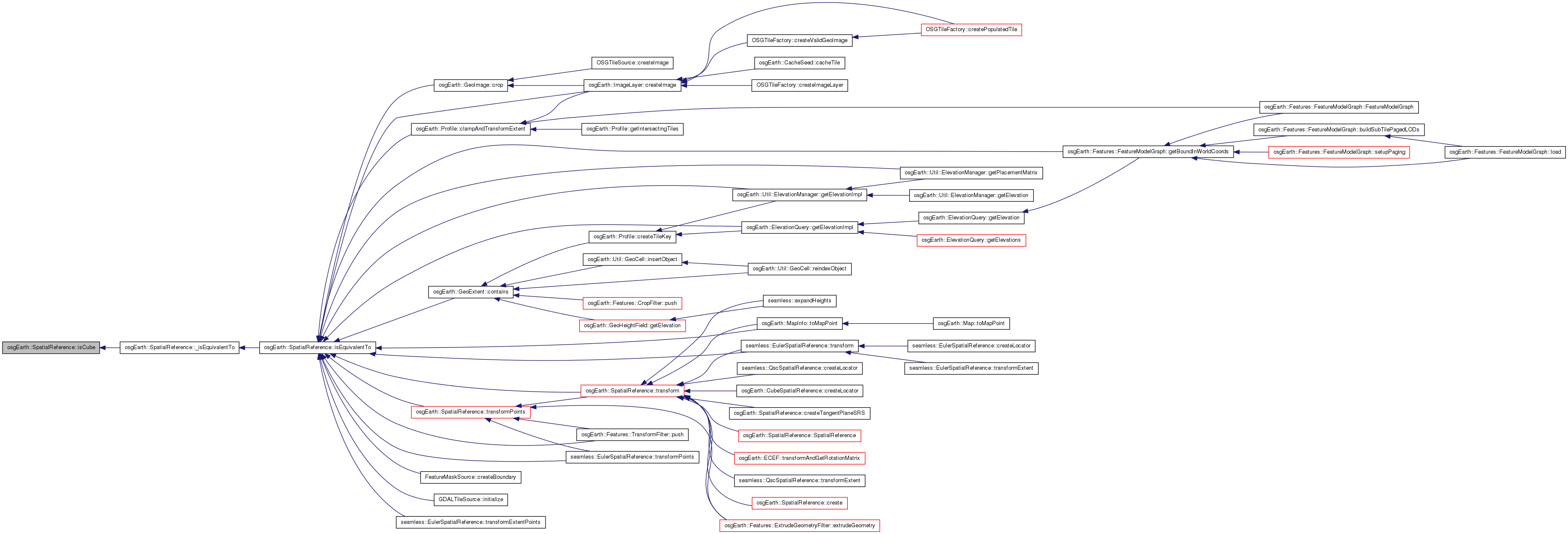
Here is the call graph for this function: Here is the caller graph for this function:| bool SpatialReference::isCube | ( | ) | const [virtual] |
Tests whether this SRS is a Unified Cube projection (osgEarth-internal)
Definition at line 608 of file SpatialReference.cpp.
{
    if ( !_initialized )
        const_cast<SpatialReference*>(this)->init();
    return _is_cube;
}
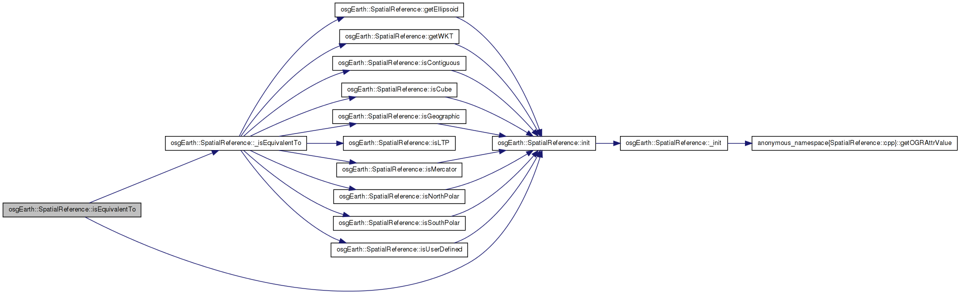
Here is the call graph for this function: Here is the caller graph for this function:| bool SpatialReference::isEquivalentTo | ( | const SpatialReference * | rhs | ) | const [virtual] |
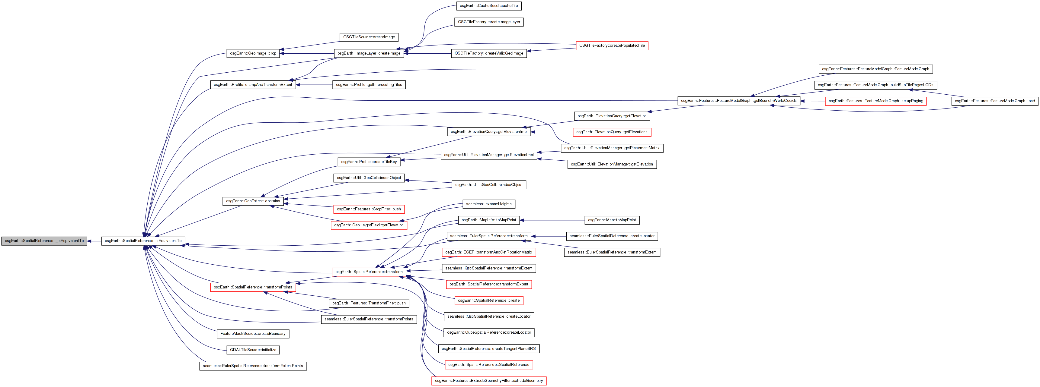
Tests this SRS for equivalence with another.
Definition at line 445 of file SpatialReference.cpp.
{
    if ( !_initialized )
        const_cast<SpatialReference*>(this)->init();

    return _isEquivalentTo( rhs );
}
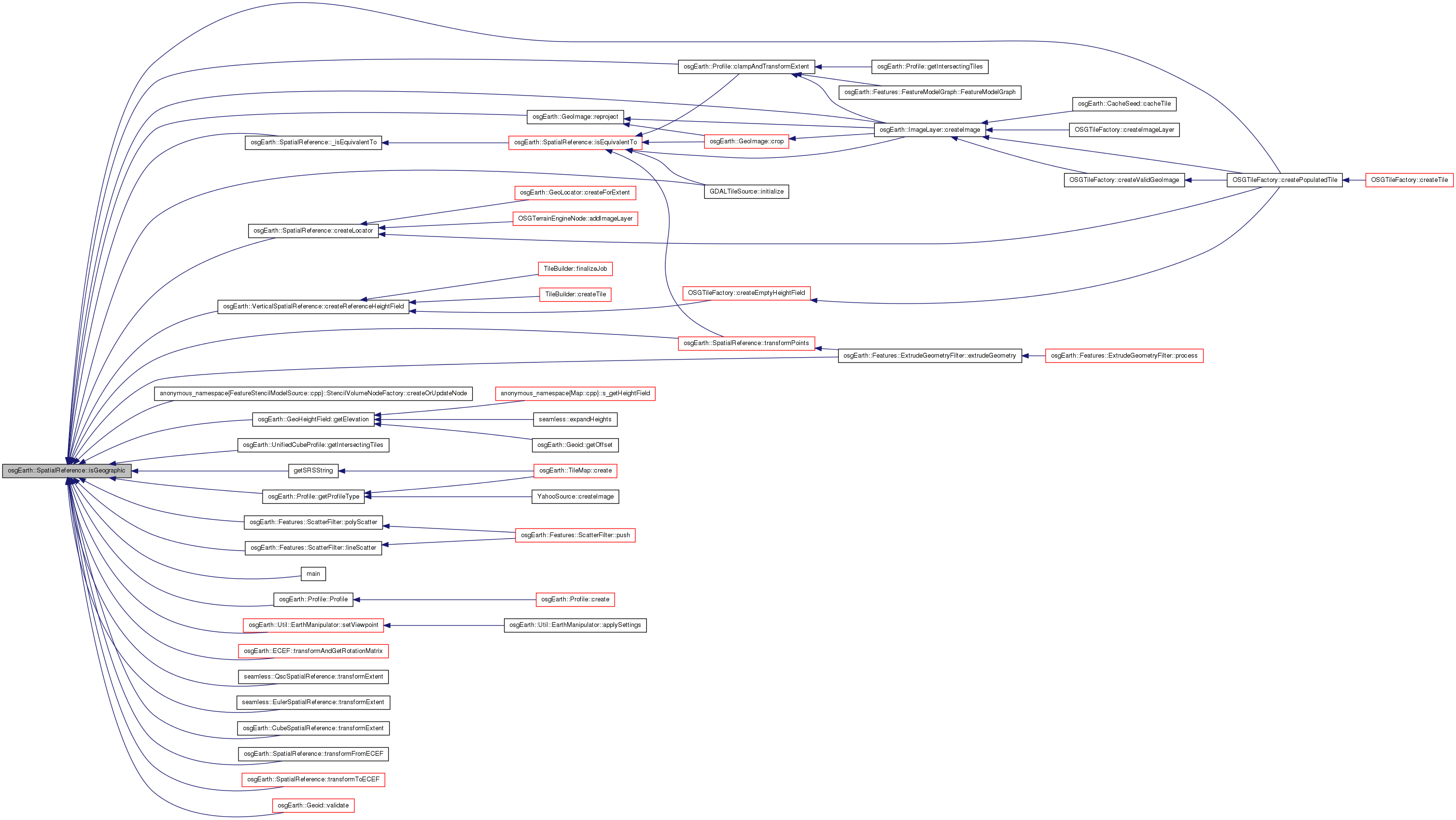
Here is the call graph for this function: Here is the caller graph for this function:| bool SpatialReference::isGeographic | ( | ) | const [virtual] |
True is this is a geographic SRS (i.e. unprojected lat/long)
Reimplemented in osgEarth::CubeSpatialReference, osgEarth::LTPSpatialReference, seamless::EulerSpatialReference, and seamless::QscSpatialReference.
Definition at line 381 of file SpatialReference.cpp.
{
    if ( !_initialized )
        const_cast<SpatialReference*>(this)->init();
    return _is_geographic;
}
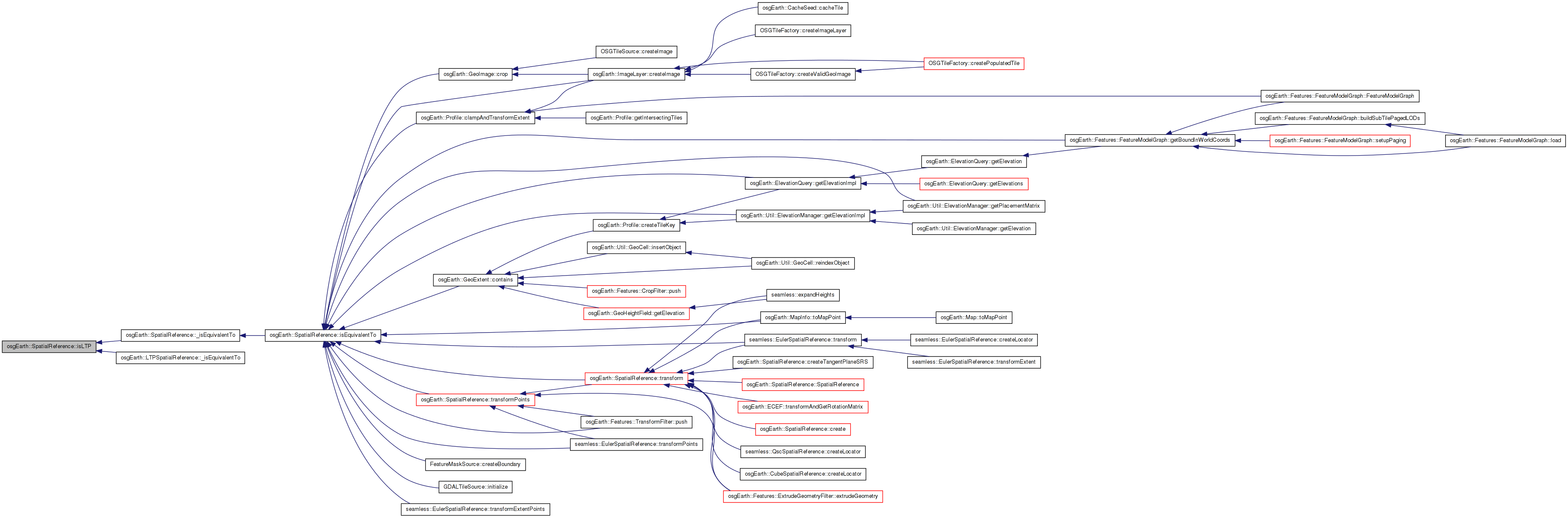
Here is the call graph for this function: Here is the caller graph for this function:| virtual bool osgEarth::SpatialReference::isLTP | ( | ) | const [inline, virtual] |
Tests whether this SRS is a Local Tangent Plane projection (osgEarth-internal)
Definition at line 198 of file SpatialReference.
{ return _is_ltp; }
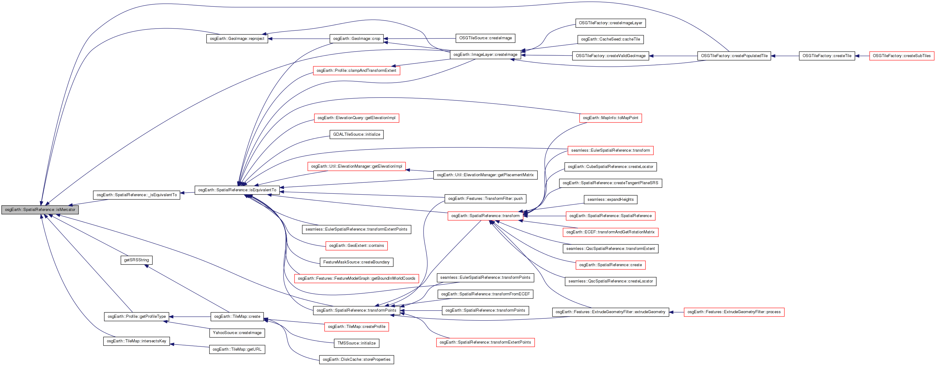
Here is the caller graph for this function:| bool SpatialReference::isMercator | ( | ) | const |
Tests whether this SRS represents a Mercator projection.
Definition at line 568 of file SpatialReference.cpp.
{
    if ( !_initialized )
        const_cast<SpatialReference*>(this)->init();
    return _is_mercator;
}
Here is the call graph for this function: Here is the caller graph for this function:| bool SpatialReference::isNorthPolar | ( | ) | const |
Tests whether this SRS represents a polar sterographic projection.
Definition at line 576 of file SpatialReference.cpp.
{
    if ( !_initialized )
        const_cast<SpatialReference*>(this)->init();
    return _is_north_polar;
}
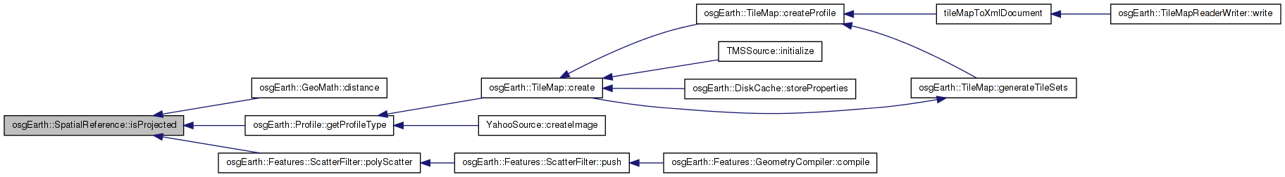
Here is the call graph for this function: Here is the caller graph for this function:| bool SpatialReference::isProjected | ( | ) | const [virtual] |
True if this is a projected SRS (i.e. local coordinate system)
Reimplemented in osgEarth::CubeSpatialReference, osgEarth::LTPSpatialReference, seamless::EulerSpatialReference, and seamless::QscSpatialReference.
Definition at line 389 of file SpatialReference.cpp.
{
    if ( !_initialized )
        const_cast<SpatialReference*>(this)->init();
    return !_is_geographic;
}
Here is the call graph for this function: Here is the caller graph for this function:| bool SpatialReference::isSouthPolar | ( | ) | const |
Definition at line 584 of file SpatialReference.cpp.
{
    if ( !_initialized )
        const_cast<SpatialReference*>(this)->init();
    return _is_south_polar;
}
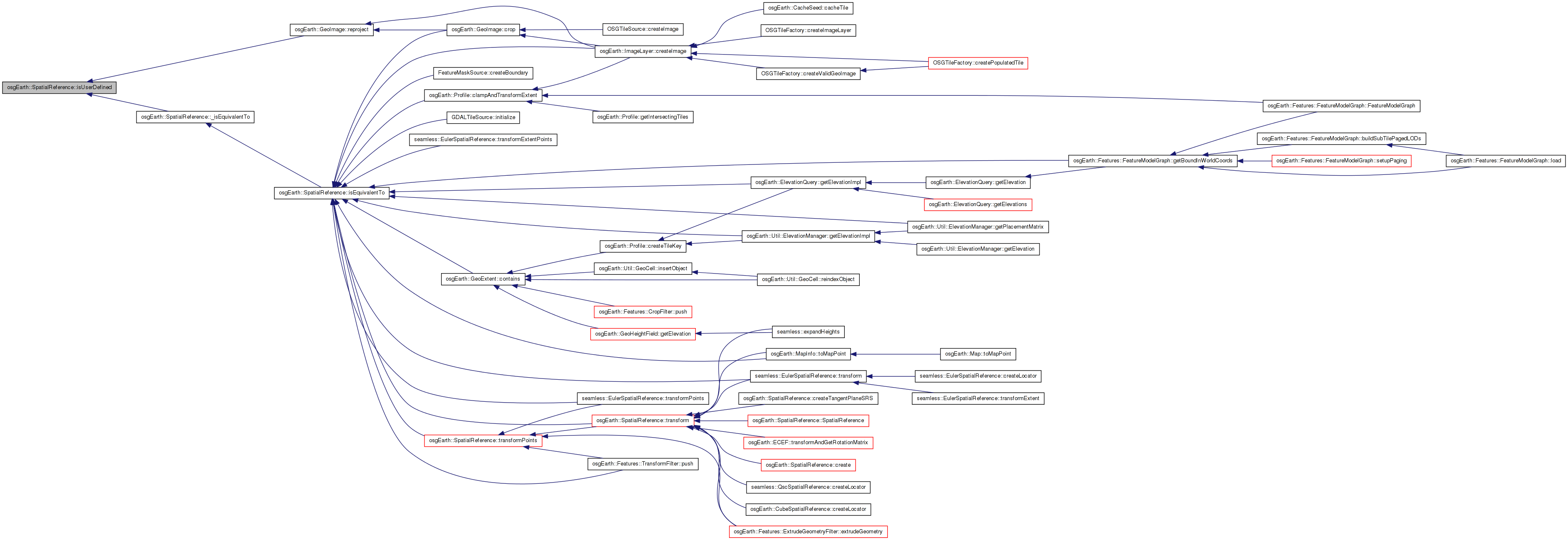
Here is the call graph for this function: Here is the caller graph for this function:| bool SpatialReference::isUserDefined | ( | ) | const [virtual] |
Tests whether this SRS is user-defined; i.e. whether it is other than a well-known SRS. (i.e. whether the SRS is unsupported by GDAL)
Definition at line 600 of file SpatialReference.cpp.
{
    if ( !_initialized )
        const_cast<SpatialReference*>(this)->init();
    return _is_user_defined;
}
Here is the call graph for this function: Here is the caller graph for this function:| bool SpatialReference::populateCoordinateSystemNode | ( | osg::CoordinateSystemNode * | csn | ) | const |
Populates the provided CSN with information from this SRS.
Definition at line 627 of file SpatialReference.cpp.
{
    if ( !csn )
        return false;

    if ( !_initialized )
        const_cast<SpatialReference*>(this)->init();

    if ( !_wkt.empty() )
    {
        csn->setFormat( "WKT" );
        csn->setCoordinateSystem( _wkt );
    }
    else if ( !_proj4.empty() )
    {
        csn->setFormat( "PROJ4" );
        csn->setCoordinateSystem( _proj4 );
    }
    else
    {
        csn->setFormat( _init_type );
        csn->setCoordinateSystem( _init_str );
    }

    csn->setEllipsoidModel( _ellipsoid.get() );

    return true;
}
Here is the call graph for this function: Here is the caller graph for this function:| virtual bool osgEarth::SpatialReference::postTransform | ( | double & | x, |
| double & | y, | ||
| double & | z, | ||
| void * | context | ||
| ) | const [inline, protected, virtual] |
Reimplemented in osgEarth::CubeSpatialReference, and osgEarth::LTPSpatialReference.
Definition at line 296 of file SpatialReference.
{ return true;}
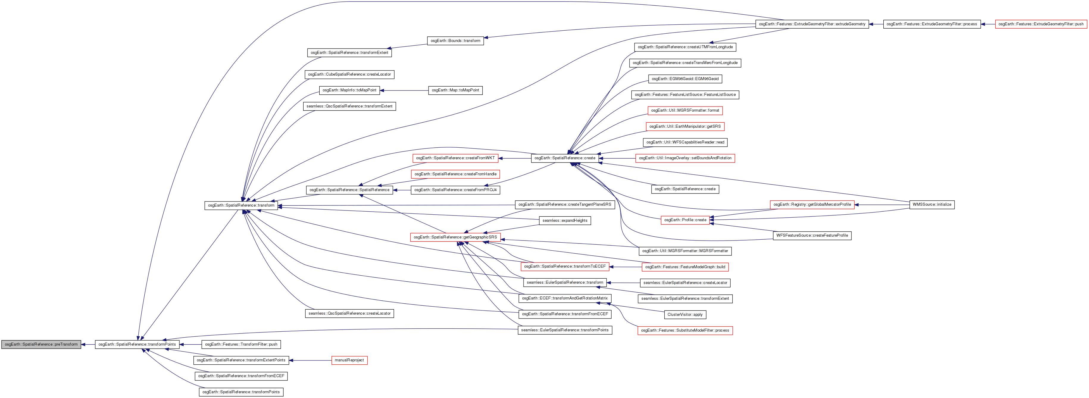
Here is the caller graph for this function:| virtual bool osgEarth::SpatialReference::preTransform | ( | double & | x, |
| double & | y, | ||
| double & | z, | ||
| void * | context | ||
| ) | const [inline, protected, virtual] |
Reimplemented in osgEarth::CubeSpatialReference, and osgEarth::LTPSpatialReference.
Definition at line 295 of file SpatialReference.
{ return true; }
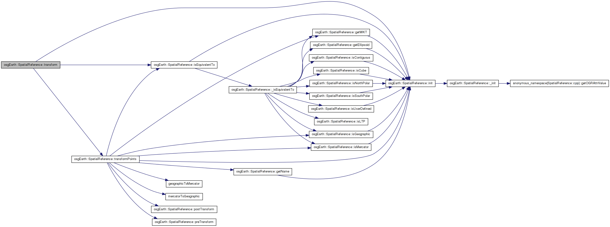
Here is the caller graph for this function:| bool SpatialReference::transform | ( | double | x, |
| double | y, | ||
| double | z, | ||
| const SpatialReference * | to_srs, | ||
| double & | out_x, | ||
| double & | out_y, | ||
| double & | out_z, | ||
| void * | context = 0L |
||
| ) | const [virtual] |
Transform a point to another SRS.
Definition at line 699 of file SpatialReference.cpp.
{
    if ( !_initialized )
        const_cast<SpatialReference*>(this)->init();

    //Check for equivalence and return if the coordinate systems are the same.
    if (isEquivalentTo(out_srs))
    {
        out_x = x;
        out_y = y;
        out_z = z;
        return true;
    }

    out_x = x;
    out_y = y;
    out_z = z;
    bool result = transformPoints(out_srs, &out_x, &out_y, &out_z, 1, context);

    return result;
}
Here is the call graph for this function: Here is the caller graph for this function:| bool osgEarth::SpatialReference::transform | ( | const osg::Vec3d & | input, |
| const SpatialReference * | to_srs, | ||
| osg::Vec3d & | output, | ||
| void * | context = 0L |
||
| ) | const [inline] |
Definition at line 82 of file SpatialReference.
        {
            return transform(input.x(), input.y(), input.z(), to_srs, output.x(), output.y(), output.z(), context);
        }
| bool osgEarth::SpatialReference::transform2D | ( | double | x, |
| double | y, | ||
| const SpatialReference * | to_srs, | ||
| double & | out_x, | ||
| double & | out_y, | ||
| void * | context = 0L |
||
| ) | const [inline] |
Definition at line 91 of file SpatialReference.
        {
            double dummyZ;
            return transform(x, y, dummyZ, to_srs, out_x, out_y, dummyZ, context);
        }
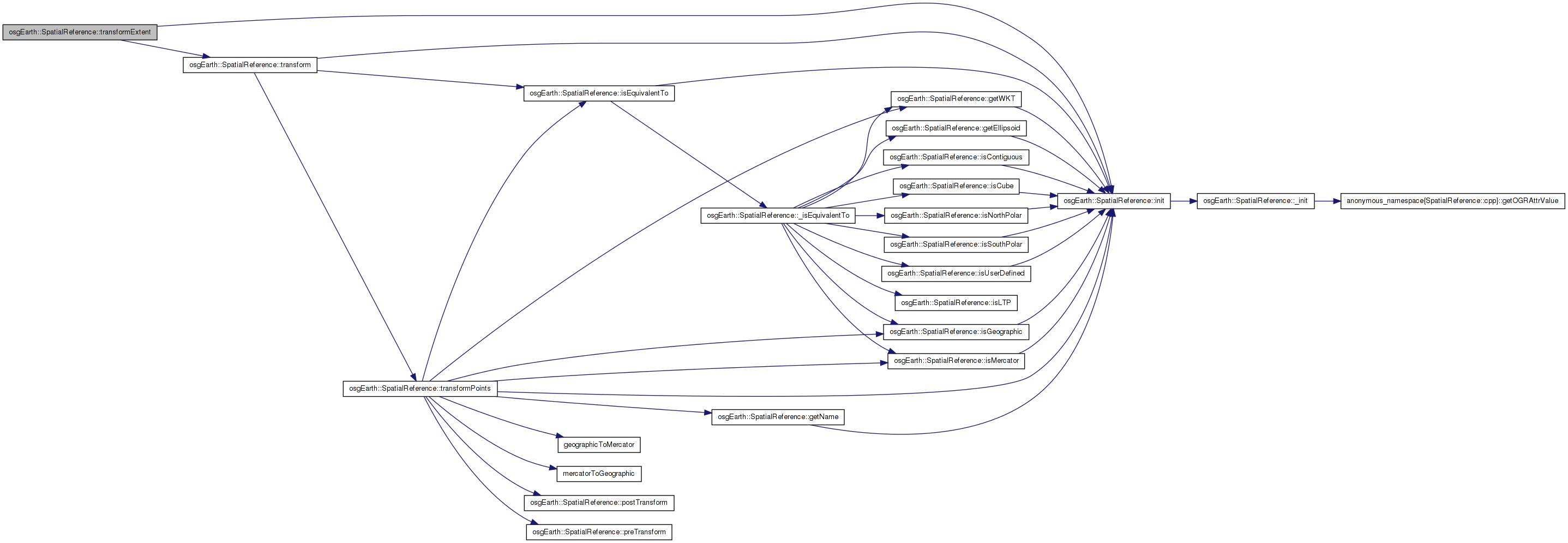
Here is the caller graph for this function:| bool SpatialReference::transformExtent | ( | const SpatialReference * | to_srs, |
| double & | in_out_xmin, | ||
| double & | in_out_ymin, | ||
| double & | in_out_xmax, | ||
| double & | in_out_ymax, | ||
| void * | context = 0L |
||
| ) | const [virtual] |
Transforms a spatial extent to another SRS.
TODO: Update this method to work for: a) Geographic extents that cross the date line; and b) Polar extents.
Reimplemented in osgEarth::CubeSpatialReference, seamless::EulerSpatialReference, and seamless::QscSpatialReference.
Definition at line 1004 of file SpatialReference.cpp.
{
    if ( !_initialized )
        const_cast<SpatialReference*>(this)->init();

    int oks = 0;

    //Transform all points and take the maximum bounding rectangle the resulting points
    double llx, lly;
    double ulx, uly;
    double urx, ury;
    double lrx, lry;
    double dummyZ = 0;

    //Lower Left
    oks += transform( in_out_xmin, in_out_ymin, 0, to_srs, llx, lly, dummyZ, context ) == true;

    //Upper Left
    oks += transform( in_out_xmin, in_out_ymax, 0, to_srs, ulx, uly, dummyZ, context ) == true;

    //Upper Right
    oks += transform( in_out_xmax, in_out_ymax, 0, to_srs, urx, ury, dummyZ, context ) == true;

    //Lower Right
    oks += transform( in_out_xmax, in_out_ymin, 0, to_srs, lrx, lry, dummyZ, context ) == true;


    if (oks == 4)
    {
        in_out_xmin = osg::minimum(llx, ulx);
        in_out_xmax = osg::maximum(lrx, urx);
        in_out_ymin = osg::minimum(lly, lry);
        in_out_ymax = osg::maximum(uly, ury);
        return true;
    }
    return false;
}
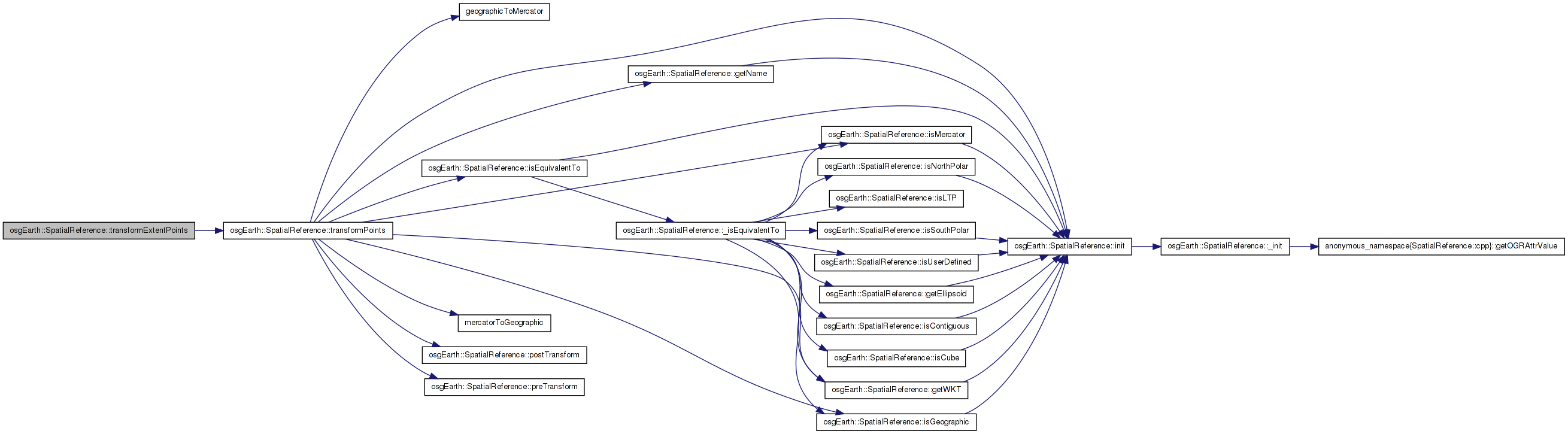
Here is the call graph for this function: Here is the caller graph for this function:| bool SpatialReference::transformExtentPoints | ( | const SpatialReference * | to_srs, |
| double | in_xmin, | ||
| double | in_ymin, | ||
| double | in_xmax, | ||
| double | in_ymax, | ||
| double * | x, | ||
| double * | y, | ||
| unsigned int | numx, | ||
| unsigned int | numy, | ||
| void * | context = 0L, |
||
| bool | ignore_errors = false |
||
| ) | const [virtual] |
Reimplemented in seamless::EulerSpatialReference.
Definition at line 1047 of file SpatialReference.cpp.
{
    const double dx = (in_xmax - in_xmin) / (numx - 1);
    const double dy = (in_ymax - in_ymin) / (numy - 1);

    unsigned int pixel = 0;
    double fc = 0.0;
    for (unsigned int c = 0; c < numx; ++c, ++fc)
    {
        const double dest_x = in_xmin + fc * dx;
        double fr = 0.0;
        for (unsigned int r = 0; r < numy; ++r, ++fr)
        {
            const double dest_y = in_ymin + fr * dy;

            x[pixel] = dest_x;
            y[pixel] = dest_y;
            pixel++;
        }
    }
    return transformPoints(to_srs, x, y, 0L, numx * numy, context, ignore_errors);
}
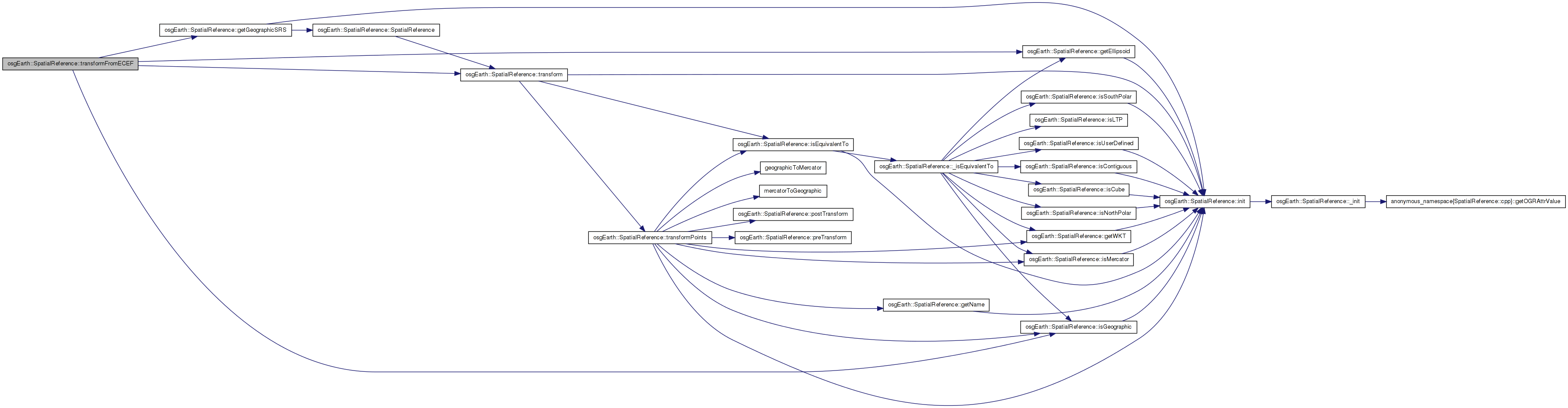
Here is the call graph for this function: Here is the caller graph for this function:| bool SpatialReference::transformFromECEF | ( | const osg::Vec3d & | input, |
| osg::Vec3d & | output | ||
| ) | const |
Transforms a point from geocentric/ECEF coordinates into this SRS (with a height above ellipsoid).
Definition at line 948 of file SpatialReference.cpp.
{
    // transform to lat/long:
    osg::Vec3d geo;

    getGeographicSRS()->getEllipsoid()->convertXYZToLatLongHeight(
        input.x(), input.y(), input.z(),
        geo.y(), geo.x(), geo.z() );

    // then convert to the local SRS.
    if ( isGeographic() )
    {
        output.set( osg::RadiansToDegrees(geo.x()), osg::RadiansToDegrees(geo.y()), geo.z() );
    }
    else
    {
        getGeographicSRS()->transform(
            osg::RadiansToDegrees(geo.x()), osg::RadiansToDegrees(geo.y()), geo.z(),
            this,
            output.x(), output.y(), output.z() );
        //output.z() = geo.z();
    }

    return true;
}
Here is the call graph for this function:| bool SpatialReference::transformFromECEF | ( | std::vector< osg::Vec3d > & | points, |
| bool | ignoreErrors = false |
||
| ) | const |
Transforms an array of points from geocentric/ECEF coordinates into this SRS (with a height-above-ellipoid). The points are transformed in place.
Definition at line 976 of file SpatialReference.cpp.
{
    bool ok = true;

    // first convert all the points to lat/long (in place):
    for( unsigned i=0; i<points.size(); ++i )
    {
        osg::Vec3d& p = points[i];
        osg::Vec3d geo;
        getGeographicSRS()->getEllipsoid()->convertXYZToLatLongHeight(
            p.x(), p.y(), p.z(),
            geo.y(), geo.x(), geo.z() );
        geo.x() = osg::RadiansToDegrees( geo.x() );
        geo.y() = osg::RadiansToDegrees( geo.y() );
        p = geo;
    }

    // then convert them all to the local SRS if necessary.
    if ( !isGeographic() )
    {
        ok = getGeographicSRS()->transformPoints( this, points, 0L, ignoreErrors );
    }

    return ok;
}
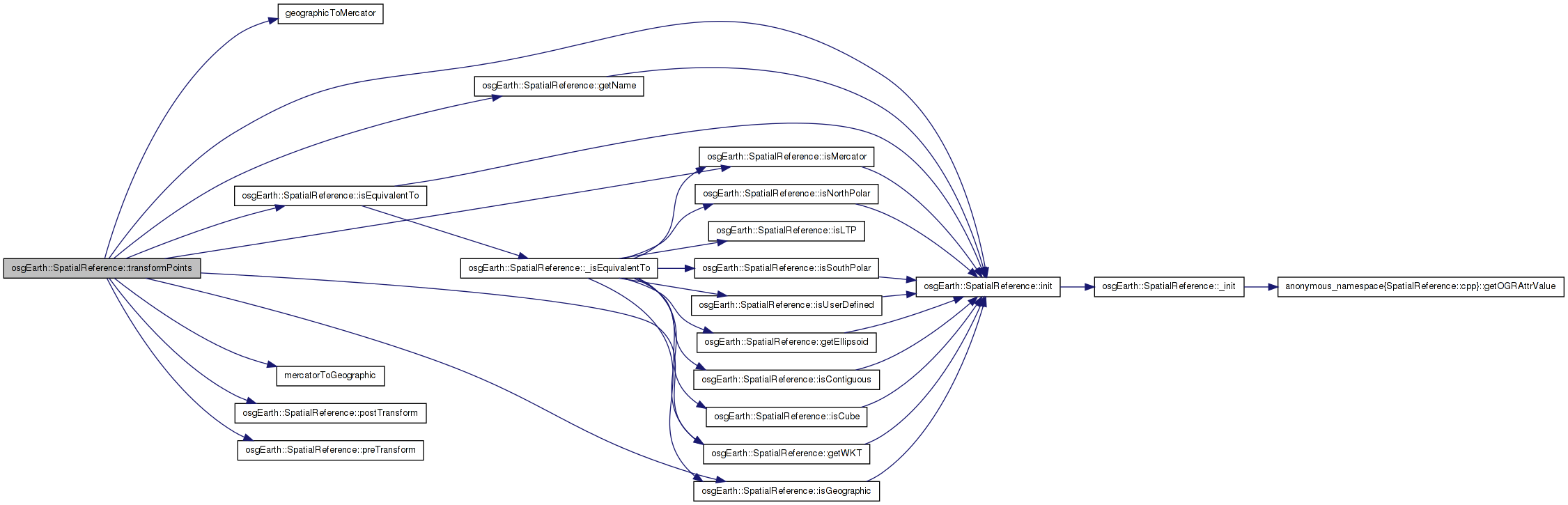
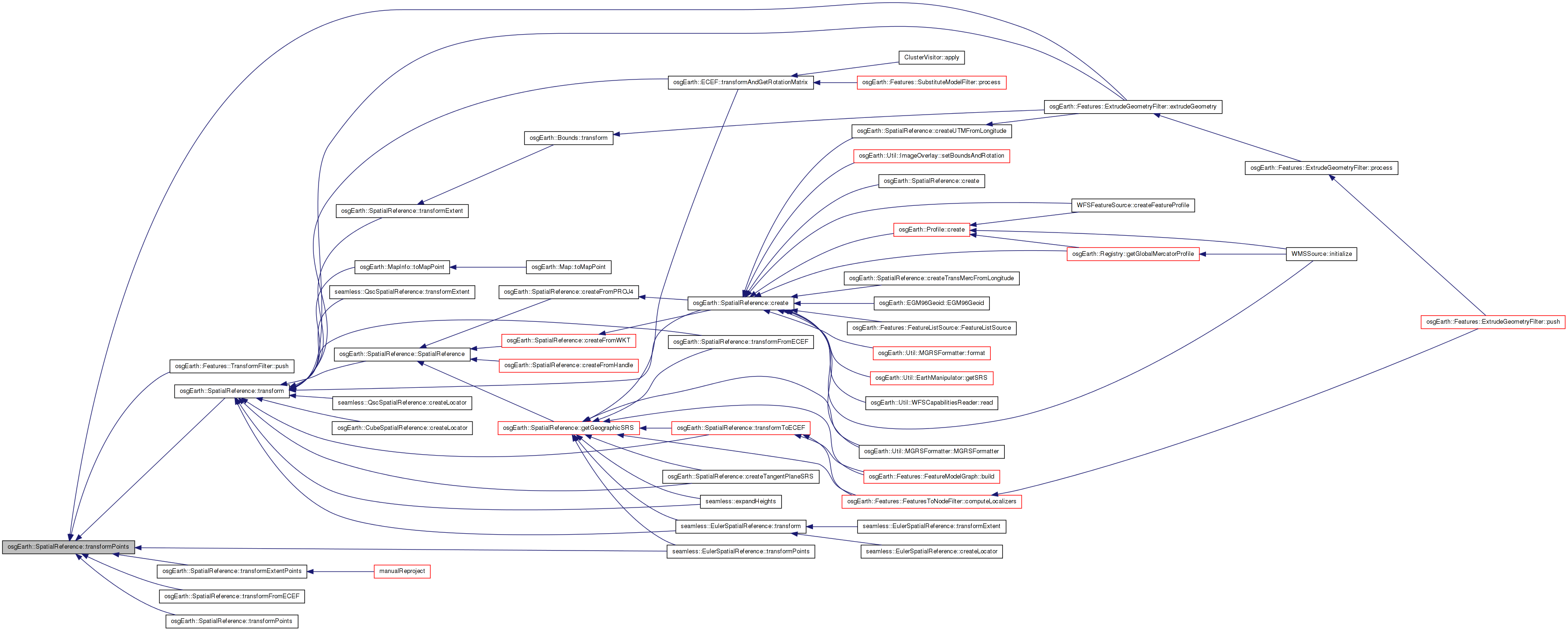
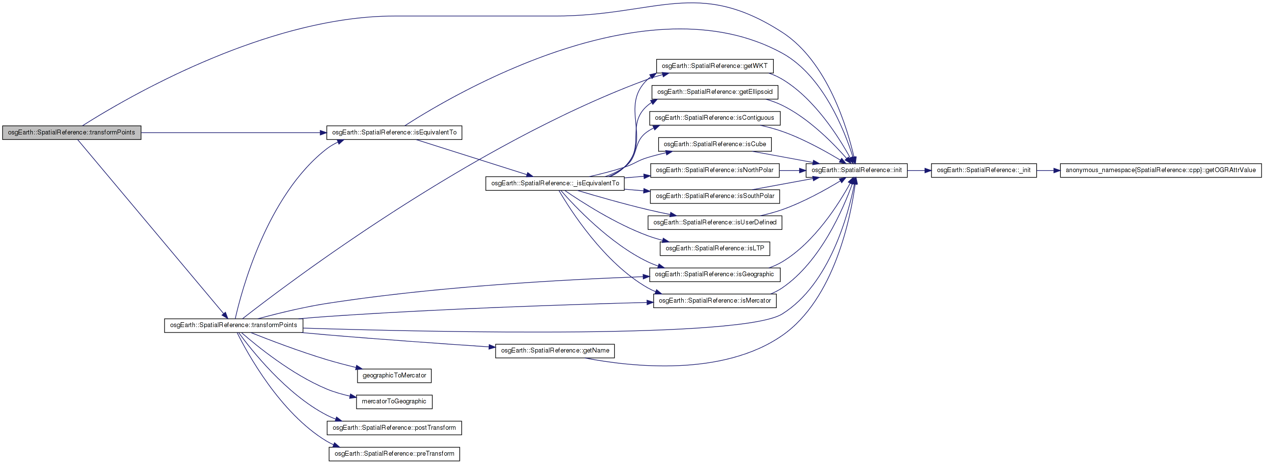
Here is the call graph for this function:| bool SpatialReference::transformPoints | ( | const SpatialReference * | to_srs, |
| double * | x, | ||
| double * | y, | ||
| double * | z, | ||
| unsigned int | numPoints, | ||
| void * | context = 0L, |
||
| bool | ignore_errors = false |
||
| ) | const [virtual] |
Transforms an array of 3D points from this SRS to another SRS.
Definition at line 760 of file SpatialReference.cpp.
{
    if ( !_initialized )
        const_cast<SpatialReference*>(this)->init();

    //Check for equivalence and return if the coordinate systems are the same.
    if (isEquivalentTo(out_srs))
        return true;

    if ( z )
    {
        for (unsigned int i = 0; i < numPoints; ++i)
            preTransform(x[i], y[i], z[i], context);
    }
    else
    {
        double dummyZ = 0.0;
        for (unsigned int i = 0; i < numPoints; ++i)
            preTransform(x[i], y[i], dummyZ, context);
    }

    bool success = false;

#ifdef USE_CUSTOM_MERCATOR_TRANSFORM

    if ( isGeographic() && out_srs->isMercator() )
    {
        success = geographicToMercator( x, y, z, numPoints );
    }

    else if ( isMercator() && out_srs->isGeographic() )
    {
        success = mercatorToGeographic( x, y, z, numPoints );
    }

    else
#endif

    {
        GDAL_SCOPED_LOCK;

        void* xform_handle = NULL;
        TransformHandleCache::const_iterator itr = _transformHandleCache.find(out_srs->getWKT());
        if (itr != _transformHandleCache.end())
        {
            //OE_DEBUG << "SpatialRefernece: using cached transform handle" << std::endl;
            xform_handle = itr->second;
        }
        else
        {
            xform_handle = OCTNewCoordinateTransformation( _handle, out_srs->_handle);
            const_cast<SpatialReference*>(this)->_transformHandleCache[out_srs->getWKT()] = xform_handle;
        }

        if ( !xform_handle )
        {
            OE_WARN << LC
                << "SRS xform not possible" << std::endl
                << "    From => " << getName() << std::endl
                << "    To   => " << out_srs->getName() << std::endl;
            return false;
        }

        //double* temp_z = new double[numPoints];
        //success = OCTTransform( xform_handle, numPoints, x, y, temp_z ) > 0;
        //delete[] temp_z;

        success = OCTTransform( xform_handle, numPoints, x, y, z ) > 0;

        // END GDAL_SCOPE_LOCK
    }

    if ( success || ignore_errors )
    {
        if ( z )
        {
            for (unsigned int i = 0; i < numPoints; ++i)
                out_srs->postTransform(x[i], y[i], z[i], context);
        }
        else
        {
            double dummyZ = 0.0;
            for (unsigned int i = 0; i < numPoints; ++i)
                out_srs->postTransform(x[i], y[i], dummyZ, context);
        }
    }
    else
    {
        OE_WARN << LC << "Failed to xform a point from "
            << getName() << " to " << out_srs->getName()
            << std::endl;
    }
    return success;
}
Here is the call graph for this function: Here is the caller graph for this function:| bool SpatialReference::transformPoints | ( | const SpatialReference * | to_srs, |
| std::vector< osg::Vec3d > & | points, | ||
| void * | context = 0L, |
||
| bool | ignore_errors = false |
||
| ) | const [virtual] |
Transforms an array of points from this SRS to another SRS.
Definition at line 860 of file SpatialReference.cpp.
{
    if ( !_initialized )
        const_cast<SpatialReference*>(this)->init();

    //Check for equivalence and return if the coordinate systems are the same.
    if (isEquivalentTo(out_srs))
        return true;

    int numPoints = points.size();
    double* x = new double[numPoints];
    double* y = new double[numPoints];
    double* z = new double[numPoints];

    for( int i=0; i<numPoints; i++ )
    {
        x[i] = points[i].x();
        y[i] = points[i].y();
        z[i] = points[i].z();
    }

    bool success = transformPoints( out_srs, x, y, z, numPoints, context, ignore_errors );

    if ( success )
    {
        for( int i=0; i<numPoints; i++ )
        {
            points[i].x() = x[i];
            points[i].y() = y[i];
            points[i].z() = z[i];
        }
    }

    delete[] x;
    delete[] y;
    delete[] z;

    return success;
}
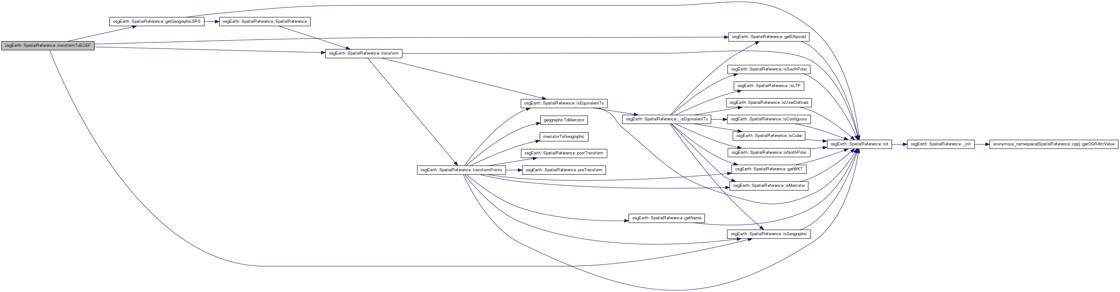
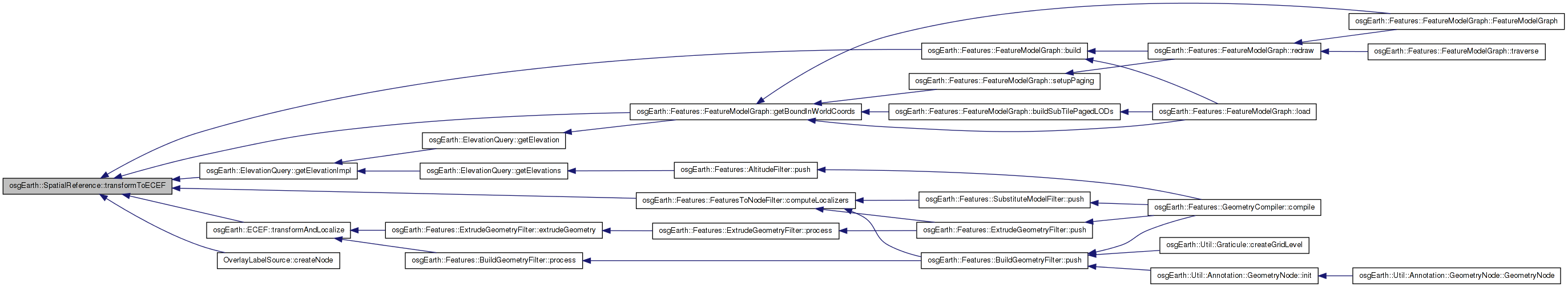
Here is the call graph for this function:| bool SpatialReference::transformToECEF | ( | std::vector< osg::Vec3d > & | points, |
| bool | ignore_errors = false |
||
| ) | const |
Transforms an array of points to geocentric/ECEF coordinates. The points are transformed in place.
Definition at line 923 of file SpatialReference.cpp.
{
    if ( points.size() == 0 )
        return false;

    const SpatialReference*    geoSRS    = getGeographicSRS();
    const osg::EllipsoidModel* ellipsoid = geoSRS->getEllipsoid();

    for( unsigned i=0; i<points.size(); ++i )
    {
        osg::Vec3d& p = points[i];

        if ( !isGeographic() )
            transform( p.x(), p.y(), p.z(), geoSRS, p.x(), p.y(), p.z() );

        ellipsoid->convertLatLongHeightToXYZ(
            osg::DegreesToRadians( p.y() ), osg::DegreesToRadians( p.x() ), p.z(),
            p.x(), p.y(), p.z() );
    }

    return true;
}
Here is the call graph for this function:| bool SpatialReference::transformToECEF | ( | const osg::Vec3d & | input, |
| osg::Vec3d & | output | ||
| ) | const |
Transforms a point to geocentric/ECEF coordinates.
Definition at line 904 of file SpatialReference.cpp.
{
    double lat = input.y(), lon = input.x(), alt = input.z();

    // first convert to lat/long if necessary:
    if ( !isGeographic() )
        transform( input.x(), input.y(), input.z(), getGeographicSRS(), lon, lat, alt );

    // then convert to ECEF.
    //double z = input.z();
    getGeographicSRS()->getEllipsoid()->convertLatLongHeightToXYZ(
        osg::DegreesToRadians( lat ), osg::DegreesToRadians( lon ), alt,
        output.x(), output.y(), output.z() );

    return true;
}
Here is the call graph for this function: Here is the caller graph for this function:| SpatialReference * SpatialReference::validate | ( | ) | [private] |
Definition at line 281 of file SpatialReference.cpp.
{
    std::string proj = getOGRAttrValue( _handle, "PROJECTION", 0 );

    // fix invalid ESRI LCC projections:
    if ( proj == "Lambert_Conformal_Conic" )
    {
        bool has_2_sps =
            !getOGRAttrValue( _handle, "Standard_Parallel_2", 0 ).empty() ||
            !getOGRAttrValue( _handle, "standard_parallel_2", 0 ).empty();

        std::string new_wkt = getWKT();
        if ( has_2_sps )
            replaceIn( new_wkt, "Lambert_Conformal_Conic", "Lambert_Conformal_Conic_2SP" );
        else
            replaceIn( new_wkt, "Lambert_Conformal_Conic", "Lambert_Conformal_Conic_1SP" );

        OE_INFO << LC << "Morphing Lambert_Conformal_Conic to 1SP/2SP" << std::endl;

        return createFromWKT( new_wkt, _init_str, _name );
    }

    // fixes for ESRI Plate_Carree and Equidistant_Cylindrical projections:
    else if ( proj == "Plate_Carree" )
    {
        std::string new_wkt = getWKT();
        replaceIn( new_wkt, "Plate_Carree", "Equirectangular" );
        OE_INFO << LC << "Morphing Plate_Carree to Equirectangular" << std::endl;
        return createFromWKT( new_wkt, _init_str, _name ); //, input->getReferenceFrame() );
    }
    else if ( proj == "Equidistant_Cylindrical" )
    {
        std::string new_wkt = getWKT();
        OE_INFO << LC << "Morphing Equidistant_Cylindrical to Equirectangular" << std::endl;
        replaceIn( new_wkt, "Equidistant_Cylindrical", "Equirectangular" );
        return createFromWKT( new_wkt, _init_str, _name );
    }

    // no changes.
    return this;
}
Here is the call graph for this function:std::string osgEarth::SpatialReference::_datum [protected] |
Definition at line 283 of file SpatialReference.
osg::ref_ptr<osg::EllipsoidModel> osgEarth::SpatialReference::_ellipsoid [protected] |
Definition at line 284 of file SpatialReference.
osg::ref_ptr<SpatialReference> osgEarth::SpatialReference::_geo_srs [protected] |
Definition at line 285 of file SpatialReference.
void* osgEarth::SpatialReference::_handle [protected] |
Definition at line 268 of file SpatialReference.
std::string osgEarth::SpatialReference::_init_str [protected] |
Definition at line 281 of file SpatialReference.
std::string osgEarth::SpatialReference::_init_str_lc [protected] |
Definition at line 282 of file SpatialReference.
std::string osgEarth::SpatialReference::_init_type [protected] |
Definition at line 280 of file SpatialReference.
bool osgEarth::SpatialReference::_initialized [protected] |
Definition at line 267 of file SpatialReference.
bool osgEarth::SpatialReference::_is_contiguous [protected] |
Definition at line 274 of file SpatialReference.
bool osgEarth::SpatialReference::_is_cube [protected] |
Definition at line 273 of file SpatialReference.
bool osgEarth::SpatialReference::_is_geographic [protected] |
Definition at line 270 of file SpatialReference.
bool osgEarth::SpatialReference::_is_ltp [protected] |
Definition at line 276 of file SpatialReference.
bool osgEarth::SpatialReference::_is_mercator [protected] |
Definition at line 271 of file SpatialReference.
bool osgEarth::SpatialReference::_is_north_polar [protected] |
Definition at line 272 of file SpatialReference.
bool osgEarth::SpatialReference::_is_south_polar [protected] |
Definition at line 272 of file SpatialReference.
bool osgEarth::SpatialReference::_is_user_defined [protected] |
Definition at line 275 of file SpatialReference.
std::string osgEarth::SpatialReference::_name [protected] |
Definition at line 277 of file SpatialReference.
bool osgEarth::SpatialReference::_owns_handle [protected] |
Definition at line 269 of file SpatialReference.
std::string osgEarth::SpatialReference::_proj4 [protected] |
Definition at line 279 of file SpatialReference.
Definition at line 288 of file SpatialReference.
std::string osgEarth::SpatialReference::_wkt [protected] |
Definition at line 278 of file SpatialReference.
 1.7.3
1.7.3