|
osgEarth 2.1.1
|
|
osgEarth 2.1.1
|
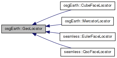
 Inheritance diagram for osgEarth::GeoLocator: Collaboration diagram for osgEarth::GeoLocator:
Public Member Functions | |
| GeoLocator () | |
| GeoLocator (const GeoExtent &dataExtent) | |
| GeoLocator (const osgTerrain::Locator &prototype, const GeoExtent &dataExtent) | |
| GeoLocator (const osgTerrain::Locator &prototype, const GeoExtent &dataExtent, const GeoExtent &displayExtent) | |
| void | setDataExtent (const GeoExtent &extent) |
| const GeoExtent & | getDataExtent () const |
| virtual GeoLocator * | cloneAndCrop (const osgTerrain::Locator &prototype, const GeoExtent &displayExtent) const |
| virtual GeoLocator * | getGeographicFromGeocentric () const |
| virtual bool | isEquivalentTo (const GeoLocator &rhs) const |
| virtual bool | convertModelToLocal (const osg::Vec3d &world, osg::Vec3d &local) const |
Static Public Member Functions | |
| static GeoLocator * | createForKey (const class TileKey &key, const class MapInfo &mapInfo) |
| static GeoLocator * | createForExtent (const GeoExtent &extent, const class MapInfo &mapInfo) |
Protected Member Functions | |
| void | cropLocal (osg::Vec3d &local) const |
Protected Attributes | |
| bool | _inverseCalculated |
Private Attributes | |
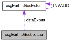
| GeoExtent | _dataExtent |
| double | _x0 |
| double | _y0 |
| double | _x1 |
| double | _y1 |
Locator that stores the extent of its source data (which might be different than the extent of the locator's transform). This locator can also automatically crop out a section of the source image.
| GeoLocator::GeoLocator | ( | ) |
Definition at line 27 of file Locators.cpp.
                       :
_inverseCalculated(false),
_x0(0.0), _x1(1.0),
_y0(0.0), _y1(1.0)
{
    this->setThreadSafeRefUnref(true);
}
Here is the caller graph for this function:| GeoLocator::GeoLocator | ( | const GeoExtent & | dataExtent | ) |
Definition at line 35 of file Locators.cpp.
                                                    :
_inverseCalculated(false),
_dataExtent( dataExtent ),
_x0(0.0), _x1(1.0),
_y0(0.0), _y1(1.0)
{
    this->setThreadSafeRefUnref(true);
}
| GeoLocator::GeoLocator | ( | const osgTerrain::Locator & | prototype, |
| const GeoExtent & | dataExtent | ||
| ) |
Definition at line 44 of file Locators.cpp.
                                                                                        :
osgTerrain::Locator( prototype ),
_inverseCalculated(false),
_dataExtent( dataExtent ),
_x0(0.0), _x1(1.0),
_y0(0.0), _y1(1.0)
{
    //nop
}
| GeoLocator::GeoLocator | ( | const osgTerrain::Locator & | prototype, |
| const GeoExtent & | dataExtent, | ||
| const GeoExtent & | displayExtent | ||
| ) |
Construct a locator that crops to a display extent.
Definition at line 54 of file Locators.cpp.
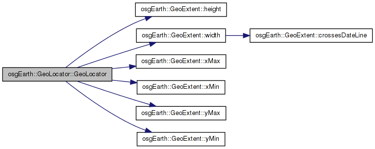
                                                                                                                        :
osgTerrain::Locator( prototype ),
_dataExtent( dataExtent ),
_inverseCalculated(false)
{
    // assume they are the same SRS
    _x0 = osg::clampBetween( (displayExtent.xMin()-dataExtent.xMin())/dataExtent.width(), 0.0, 1.0 );
    _x1 = osg::clampBetween( (displayExtent.xMax()-dataExtent.xMin())/dataExtent.width(), 0.0, 1.0 );
    _y0 = osg::clampBetween( (displayExtent.yMin()-dataExtent.yMin())/dataExtent.height(), 0.0, 1.0 );
    _y1 = osg::clampBetween( (displayExtent.yMax()-dataExtent.yMin())/dataExtent.height(), 0.0, 1.0 );
}
Here is the call graph for this function:| GeoLocator * GeoLocator::cloneAndCrop | ( | const osgTerrain::Locator & | prototype, |
| const GeoExtent & | displayExtent | ||
| ) | const [virtual] |
Clones the current locator, applying a new display (i.e. crop) extent.
Definition at line 110 of file Locators.cpp.
{
    return new GeoLocator( prototype, _dataExtent, displayExtent );
}
Here is the call graph for this function:| bool GeoLocator::convertModelToLocal | ( | const osg::Vec3d & | world, |
| osg::Vec3d & | local | ||
| ) | const [virtual] |
Reimplemented in osgEarth::CubeFaceLocator, osgEarth::MercatorLocator, seamless::EulerFaceLocator, and seamless::QscFaceLocator.
Definition at line 117 of file Locators.cpp.
{
    // required becasue of an OSG bug
    if ( !_inverseCalculated )
    {
        const_cast<GeoLocator*>(this)->_inverse.invert( _transform );
        const_cast<GeoLocator*>(this)->_inverseCalculated = true;
    }

    bool ok = Locator::convertModelToLocal( world, local );

    //cropLocal( local );

    return ok;
}
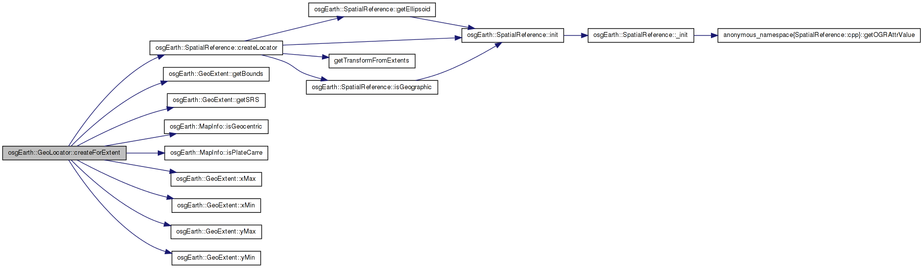
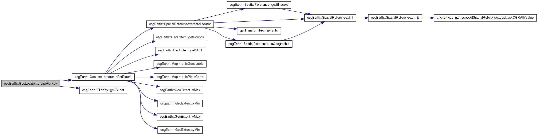
| GeoLocator * GeoLocator::createForExtent | ( | const GeoExtent & | extent, |
| const class MapInfo & | mapInfo | ||
| ) | [static] |
Definition at line 83 of file Locators.cpp.
{
    double xmin, ymin, xmax, ymax;
    extent.getBounds( xmin, ymin, xmax, ymax );

    // A locator will place the tile on the globe:
    GeoLocator* locator = extent.getSRS()->createLocator(
        extent.xMin(), extent.yMin(), extent.xMax(), extent.yMax(),
        map.isPlateCarre() );

    if ( map.isGeocentric() )
        locator->setCoordinateSystemType( osgTerrain::Locator::GEOCENTRIC );

    return locator;
}
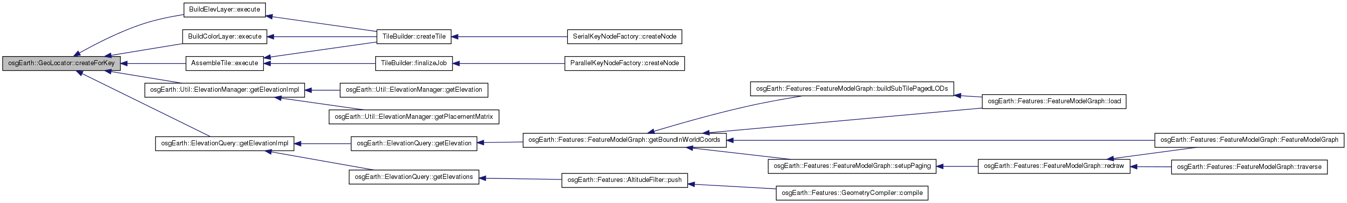
Here is the call graph for this function: Here is the caller graph for this function:| GeoLocator * GeoLocator::createForKey | ( | const class TileKey & | key, |
| const class MapInfo & | mapInfo | ||
| ) | [static] |
Definition at line 76 of file Locators.cpp.
{
    const GeoExtent& ex = key.getExtent();
    return createForExtent( ex, map );
}
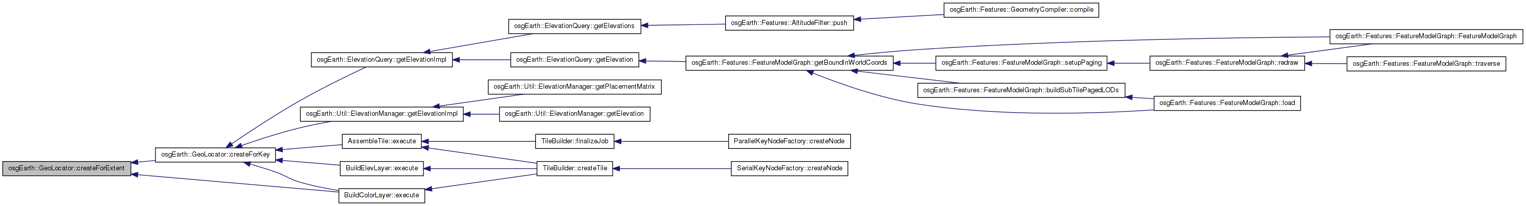
Here is the call graph for this function: Here is the caller graph for this function:| void GeoLocator::cropLocal | ( | osg::Vec3d & | local | ) | const [protected] |
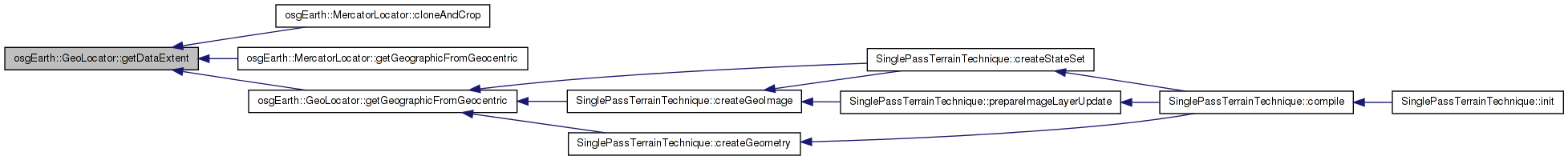
| const GeoExtent & GeoLocator::getDataExtent | ( | ) | const |
Definition at line 105 of file Locators.cpp.
                                {
    return _dataExtent;
}
Here is the caller graph for this function:| GeoLocator * GeoLocator::getGeographicFromGeocentric | ( | ) | const [virtual] |
Definition at line 142 of file Locators.cpp.
{
    if (getCoordinateSystemType() == osgTerrain::Locator::GEOCENTRIC)
    {
        double xmin, ymin, xmax, ymax;
        getDataExtent().getBounds( xmin, ymin,  xmax, ymax );
        GeoLocator* geographic = new GeoLocator( getDataExtent() );
        geographic->setCoordinateSystemType( Locator::GEOGRAPHIC );
        geographic->setTransformAsExtents( xmin, ymin, xmax, ymax);
        return geographic;
    }
    return NULL;
}
Here is the call graph for this function: Here is the caller graph for this function:| bool GeoLocator::isEquivalentTo | ( | const GeoLocator & | rhs | ) | const [virtual] |
Definition at line 67 of file Locators.cpp.
{
    return
        _transform == rhs._transform &&
        _coordinateSystemType == rhs._coordinateSystemType &&
        _cs == rhs._cs;
}
Here is the caller graph for this function:| void GeoLocator::setDataExtent | ( | const GeoExtent & | extent | ) |
Definition at line 100 of file Locators.cpp.
                                                  {
    _dataExtent = value;
}
GeoExtent osgEarth::GeoLocator::_dataExtent [private] |
bool osgEarth::GeoLocator::_inverseCalculated [protected] |
double osgEarth::GeoLocator::_x0 [private] |
double osgEarth::GeoLocator::_x1 [private] |
double osgEarth::GeoLocator::_y0 [private] |
double osgEarth::GeoLocator::_y1 [private] |
 1.7.3
1.7.3