|
osgEarth 2.1.1
|
|
osgEarth 2.1.1
|
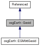
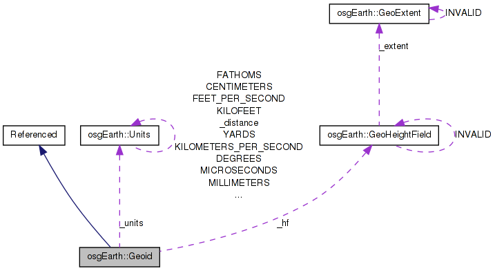
 Inheritance diagram for osgEarth::Geoid: Collaboration diagram for osgEarth::Geoid:
Public Member Functions | |
| Geoid () | |
| void | setName (const std::string &value) |
| const std::string & | getName () const |
| void | setHeightField (const GeoHeightField &hf) |
| float | getOffset (double lat_deg, double lon_deg, const ElevationInterpolation &interp=INTERP_BILINEAR) const |
| const Units & | getUnits () const |
| void | setUnits (const Units &value) |
| bool | isValid () const |
| bool | isEquivalentTo (const Geoid &rhs) const |
Private Member Functions | |
| void | validate () |
Private Attributes | |
| std::string | _name |
| GeoHeightField | _hf |
| Units | _units |
| bool | _valid |
A representation of the surface of the earth based on a grid of height values that are relative to a reference ellipsoid.
| Geoid::Geoid | ( | ) |
Definition at line 1132 of file GeoData.cpp.
             :
_hf( GeoHeightField::INVALID ),
_units( Units::METERS ),
_valid( false )
{
    //nop
}
| const std::string& osgEarth::Geoid::getName | ( | ) | const [inline] |
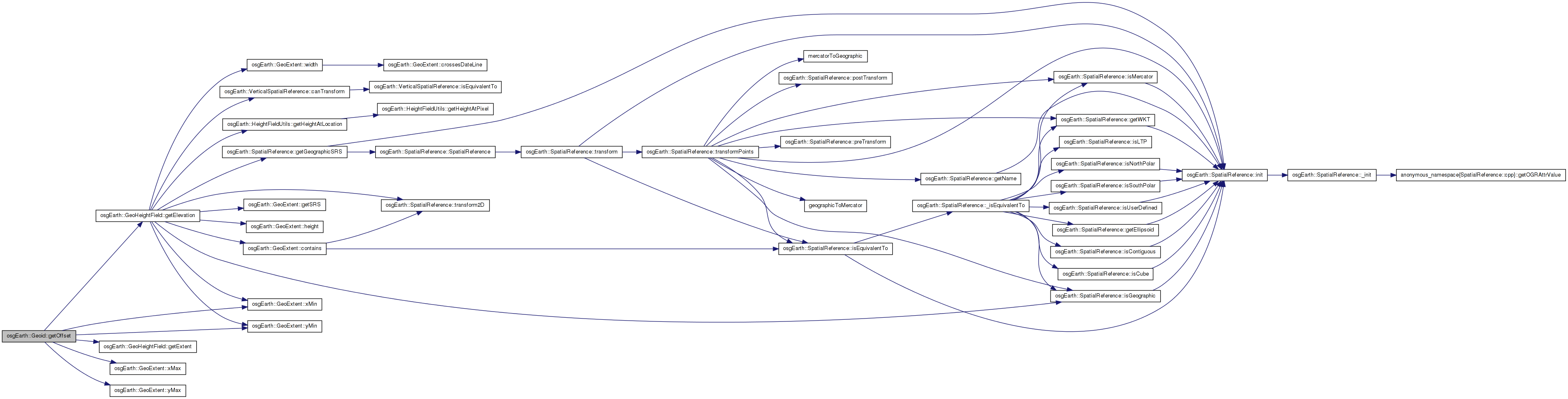
| float Geoid::getOffset | ( | double | lat_deg, |
| double | lon_deg, | ||
| const ElevationInterpolation & | interp = INTERP_BILINEAR |
||
| ) | const |
Queries to geoid for the height offset at the specified coordinates.
Definition at line 1177 of file GeoData.cpp.
{
    float result = 0.0f;

    if ( _valid )
    {
        // first convert the query coordinates to the geoid heightfield range if neccesary.
        if ( lat_deg < _hf.getExtent().yMin() )
            lat_deg = 90.0 - (-90.0-lat_deg);
        else if ( lat_deg > _hf.getExtent().yMax() )
            lat_deg = -90 + (lat_deg-90.0);
        if ( lon_deg < _hf.getExtent().xMin() )
            lon_deg += 360.0;
        else if ( lon_deg > _hf.getExtent().xMax() )
            lon_deg -= 360.0;

        bool ok = _hf.getElevation( 0L, lon_deg, lat_deg, interp, 0L, result );
        if ( !ok )
            result = 0.0f;
    }

    return result;
}
Here is the call graph for this function:| const Units& osgEarth::Geoid::getUnits | ( | ) | const [inline] |
| bool Geoid::isEquivalentTo | ( | const Geoid & | rhs | ) | const |
| bool osgEarth::Geoid::isValid | ( | ) | const [inline] |
| void Geoid::setHeightField | ( | const GeoHeightField & | hf | ) |
Sets the underlying heightfield data
Definition at line 1148 of file GeoData.cpp.
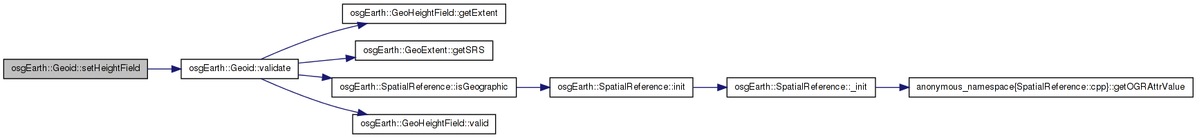
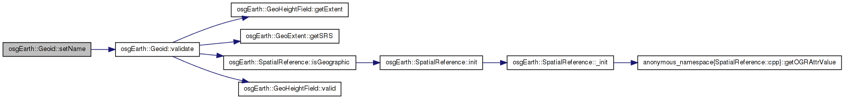
Here is the call graph for this function: Here is the caller graph for this function:| void Geoid::setName | ( | const std::string & | value | ) |
Gets the readable name of this geoid.
Definition at line 1141 of file GeoData.cpp.
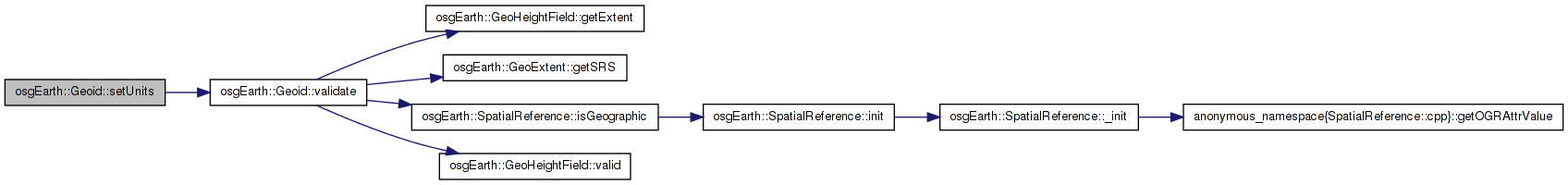
Here is the call graph for this function: Here is the caller graph for this function:| void Geoid::setUnits | ( | const Units & | value | ) |
Definition at line 1155 of file GeoData.cpp.
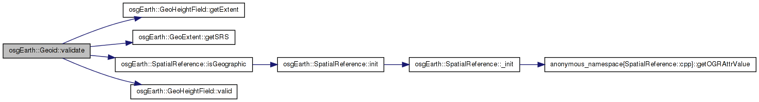
Here is the call graph for this function: Here is the caller graph for this function:| void Geoid::validate | ( | ) | [private] |
Definition at line 1162 of file GeoData.cpp.
{
    _valid = false;
    if ( !_hf.valid() ) {
        //OE_WARN << LC << "ILLEGAL GEOID: no heightfield" << std::endl;
    }
    else if ( !_hf.getExtent().getSRS() || !_hf.getExtent().getSRS()->isGeographic() ) {
        OE_WARN << LC << "ILLEGAL GEOID: heightfield must be geodetic" << std::endl;
    }
    else {
        _valid = true;
    }
}
Here is the call graph for this function: Here is the caller graph for this function:GeoHeightField osgEarth::Geoid::_hf [private] |
std::string osgEarth::Geoid::_name [private] |
Units osgEarth::Geoid::_units [private] |
bool osgEarth::Geoid::_valid [private] |
 1.7.3
1.7.3