|
osgEarth 2.1.1
|
|
osgEarth 2.1.1
|
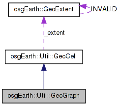
 Inheritance diagram for osgEarth::Util::GeoGraph: Collaboration diagram for osgEarth::Util::GeoGraph:
Public Member Functions | |
| GeoGraph (const GeoExtent &extent, float maxRange, unsigned maxObjects=500, unsigned splitDim=2, float splitRangeFactor=0.5f, unsigned rootWidth=2, unsigned rootHeight=2) | |
| bool | insertObject (GeoObject *object) |
Private Attributes | |
| unsigned | _rootWidth |
| unsigned | _rootHeight |
Definition at line 113 of file SpatialData.
| GeoGraph::GeoGraph | ( | const GeoExtent & | extent, |
| float | maxRange, | ||
| unsigned | maxObjects = 500, |
||
| unsigned | splitDim = 2, |
||
| float | splitRangeFactor = 0.5f, |
||
| unsigned | rootWidth = 2, |
||
| unsigned | rootHeight = 2 |
||
| ) |
Definition at line 113 of file SpatialData.cpp.
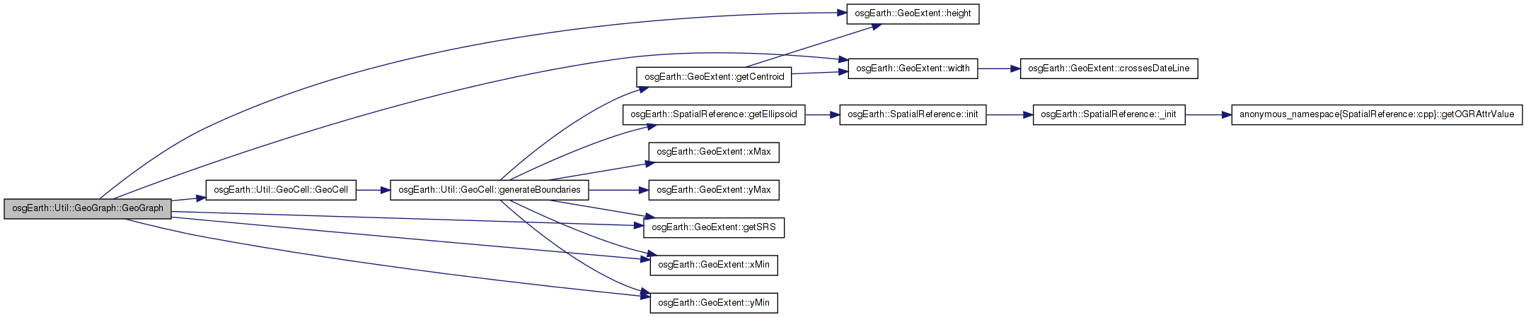
                                                             :
GeoCell( extent, maxRange, maxObjects, splitDim, splitRangeFactor, 0 )
{
    _rootWidth = osg::maximum( rootWidth, (unsigned)2 );
    _rootHeight = osg::maximum( rootHeight, (unsigned)2 );

    if ( _depth == 0 )
    {
        double xinterval = extent.width() / (double)_rootWidth;
        double yinterval = extent.height() / (double)_rootHeight;

        for( unsigned y=0; y<_rootHeight; ++y )
        {
            for( unsigned x=0; x<_rootWidth; ++x )
            {
                GeoExtent cellExtent(
                    _extent.getSRS(),
                    _extent.xMin() + xinterval*(double)x,
                    _extent.yMin() + yinterval*(double)y,
                    _extent.xMin() + xinterval*(double)(x+1),
                    _extent.yMin() + yinterval*(double)(y+1) );

                GeoCell * child = new GeoCell(
                    cellExtent,
                    _maxRange,
                    _maxObjects,
                    _splitDim,
                    _splitRangeFactor,
                    1 );

                this->addChild( child, 0, maxRange ); //FLT_MAX );
            }
        }
    }
}
Here is the call graph for this function:| bool GeoGraph::insertObject | ( | GeoObject * | object | ) | [virtual] |
Adds an object to this geocell graph.
Reimplemented from osgEarth::Util::GeoCell.
Definition at line 152 of file SpatialData.cpp.
{
osg::Vec3d loc;
if ( object->getLocation(loc) )
{
unsigned index = getIndex( _extent, loc, _rootWidth, _rootHeight );
return static_cast<GeoCell*>(getChild(index))->insertObject( object );
}
else
{
return false;
}
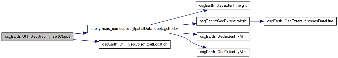
}
Here is the call graph for this function:unsigned osgEarth::Util::GeoGraph::_rootHeight [private] |
Definition at line 129 of file SpatialData.
unsigned osgEarth::Util::GeoGraph::_rootWidth [private] |
Definition at line 129 of file SpatialData.
 1.7.3
1.7.3