|
osgEarth 2.1.1
|
|
osgEarth 2.1.1
|
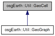
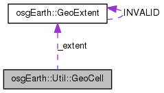
 Inheritance diagram for osgEarth::Util::GeoCell: Collaboration diagram for osgEarth::Util::GeoCell:
Public Member Functions | |
| GeoCell (const GeoExtent &extent, float maxRange, unsigned maxOjbects, unsigned splitDim, float splitRangeFactor, unsigned depth) | |
| virtual bool | insertObject (GeoObject *object) |
| bool | removeObject (GeoObject *object) |
| bool | reindexObject (GeoObject *object) |
| unsigned | getSplitDimension () const |
| unsigned | getMaxObjects () const |
| float | getSplitRangeFactor () const |
| const GeoExtent & | getExtent () const |
| unsigned | getLastCullFrame () const |
| virtual osg::BoundingSphere | computeBound () const |
| virtual void | traverse (osg::NodeVisitor &nv) |
Protected Member Functions | |
| void | split () |
| void | merge () |
| void | adjustCount (int delta) |
| bool | intersects (const class osg::Polytope &tope) const |
| void | generateBoundaries () |
| void | generateBoundaryGeometry () |
Protected Attributes | |
| GeoExtent | _extent |
| unsigned | _splitDim |
| unsigned | _maxObjects |
| unsigned | _minObjects |
| float | _maxRange |
| float | _splitRangeFactor |
| unsigned | _count |
| unsigned | _depth |
| unsigned | _frameStamp |
| std::vector< osg::Vec3d > | _boundaryPoints |
| GeoObjectCollection | _objects |
| osg::ref_ptr< osg::Geode > | _clusterGeode |
| osg::ref_ptr< osg::Geode > | _boundaryGeode |
| osg::Vec4Array * | _boundaryColor |
Friends | |
| class | GeoCellVisitor |
A group corresponding to a specific geospatial cell.
Definition at line 42 of file SpatialData.
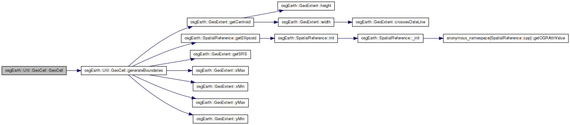
| GeoCell::GeoCell | ( | const GeoExtent & | extent, |
| float | maxRange, | ||
| unsigned | maxOjbects, | ||
| unsigned | splitDim, | ||
| float | splitRangeFactor, | ||
| unsigned | depth | ||
| ) |
Definition at line 168 of file SpatialData.cpp.
                                                                             :
_extent( extent ),
_maxRange( maxRange ),
_maxObjects( maxObjects ),
_splitDim( splitDim ),
_splitRangeFactor( splitRangeFactor ),
_depth( depth ),
_minObjects( (maxObjects/10)*8 ), // 80%
_count( 0 ),
_boundaryPoints( 10 ),
_frameStamp( 0 )
{
    generateBoundaries();
    //generateBoundaryGeometry();

    // Disable OSG's culling so we can do our own custom culling.
    this->setCullingActive( false );
}
Here is the call graph for this function: Here is the caller graph for this function:| void GeoCell::adjustCount | ( | int | delta | ) | [protected] |
Definition at line 354 of file SpatialData.cpp.
{
    _count += delta;

    if ( _depth > 0 && getNumParents() > 0 )
    {
        static_cast<GeoCell*>(getParent(0))->adjustCount( delta );

#if 0
        if ( !_clusterGeode.valid() )
        {
            _clusterGeode = makeClusterGeode( _extent, _count );
        }
        else
        {
            osgText::Text* t = static_cast<osgText::Text*>( _clusterGeode->getDrawable(0) );
            std::stringstream buf;
            buf << _count;
            t->setText( buf.str() );
        }
#endif
    }
}
Here is the call graph for this function: Here is the caller graph for this function:| osg::BoundingSphere GeoCell::computeBound | ( | ) | const [virtual] |
Definition at line 238 of file SpatialData.cpp.
{
    osg::BoundingSphere bs;
    for( unsigned i=0; i<10; ++i )
        bs.expandBy( _boundaryPoints[i] );
    return bs;
}
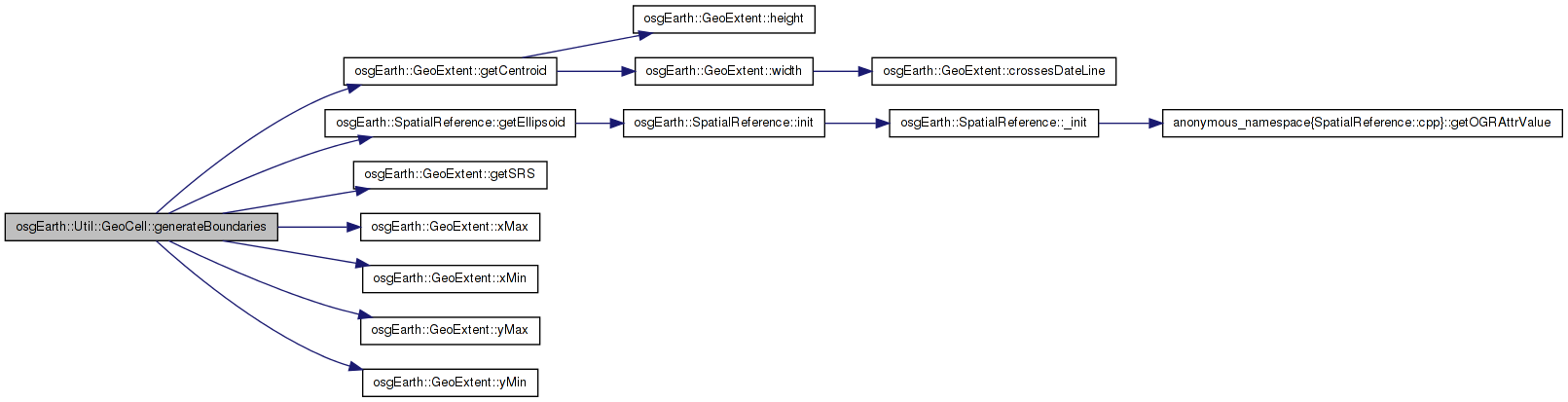
| void GeoCell::generateBoundaries | ( | ) | [protected] |
Definition at line 189 of file SpatialData.cpp.
{
    const osg::EllipsoidModel* em = _extent.getSRS()->getEllipsoid();
    static const double hae =  1e6;
    static const double hbe = -1e5;

    // find the geodetic center:
    osg::Vec3d gcenter;
    _extent.getCentroid( gcenter.x(), gcenter.y() );

    // convert to a geocentric vector:
    osg::Vec3d center;
    em->convertLatLongHeightToXYZ(
        osg::DegreesToRadians(gcenter.y()), osg::DegreesToRadians(gcenter.x()), 0.0, center.x(), center.y(), center.z());

    osg::Vec3d centerVec = center;
    centerVec.normalize();

    // find the 4 geodetic corners:
    osg::Vec3d gcorner[4];
    gcorner[0].set( _extent.xMin(), _extent.yMin(), 0.0 );
    gcorner[1].set( _extent.xMin(), _extent.yMax(), 0.0 );
    gcorner[2].set( _extent.xMax(), _extent.yMax(), 0.0 );
    gcorner[3].set( _extent.xMax(), _extent.yMin(), 0.0 );

    // and convert those to geocentric vectors:
    osg::Vec3d corner[4];
    osg::Vec3d cornerVec[4];
    for(unsigned i=0; i<4; ++i )
    {
        em->convertLatLongHeightToXYZ(
            osg::DegreesToRadians(gcorner[i].y()), osg::DegreesToRadians(gcorner[i].x()), 0.0,
            corner[i].x(), corner[i].y(), corner[i].z() );
        cornerVec[i] = corner[i];
        cornerVec[i].normalize();
    }

    // now extrude the center and corners up and down to get the boundary points:
    unsigned p = 0;
    _boundaryPoints[p++] = center + centerVec*hae;
    _boundaryPoints[p++] = center +centerVec*hbe;
    for( unsigned i=0; i<4; ++i )
    {
        _boundaryPoints[p++] = corner[i] + cornerVec[i]*hae;
        _boundaryPoints[p++] = corner[i] + cornerVec[i]*hbe;
    }
}
Here is the call graph for this function: Here is the caller graph for this function:| void GeoCell::generateBoundaryGeometry | ( | ) | [protected] |
Definition at line 247 of file SpatialData.cpp.
{
    osg::Geometry* g = new osg::Geometry();

    osg::Vec3Array* v = new osg::Vec3Array(10);
    for( unsigned i=0; i<10; ++i )
        (*v)[i] = _boundaryPoints[i];
    g->setVertexArray( v );

    osg::DrawElementsUByte* el = new osg::DrawElementsUByte( GL_QUADS );
    el->push_back( 7 ); el->push_back( 5 ); el->push_back( 4 ); el->push_back( 6 );
    el->push_back( 9 ); el->push_back( 7 ); el->push_back( 6 ); el->push_back( 8 );
    el->push_back( 3 ); el->push_back( 9 ); el->push_back( 8 ); el->push_back( 2 );
    el->push_back( 5 ); el->push_back( 3 ); el->push_back( 2 ); el->push_back( 4 );
    //el->push_back( 2 ); el->push_back( 8 ); el->push_back( 6 ); el->push_back( 4 ); //top
    //el->push_back( 9 ); el->push_back( 3 ); el->push_back( 5 ); el->push_back( 7 ); // bottom
    g->addPrimitiveSet( el );

    osg::Vec4Array* c = new osg::Vec4Array(1);
    (*c)[0].set( 1, 1, 1, 0.25 );
    g->setColorArray( c );
    g->setColorBinding( osg::Geometry::BIND_OVERALL );

    _boundaryColor = c;

    g->setDataVariance( osg::Object::DYNAMIC );
    g->setUseDisplayList( false );
    g->setUseVertexBufferObjects( true );

    osg::StateSet* set = g->getOrCreateStateSet();
    set->setMode( GL_BLEND, 1 );
    set->setRenderingHint( osg::StateSet::TRANSPARENT_BIN );
    set->setAttribute( new osg::PolygonOffset(1,1), 1 );

    _boundaryGeode = new osg::Geode();
    _boundaryGeode->addDrawable( g );
}
| const GeoExtent& osgEarth::Util::GeoCell::getExtent | ( | ) | const [inline] |
the extent of this cell
Definition at line 72 of file SpatialData.
{ return _extent; }
Here is the caller graph for this function:| unsigned osgEarth::Util::GeoCell::getLastCullFrame | ( | ) | const [inline] |
gets the frame number of the last time this cell passed cull
Definition at line 75 of file SpatialData.
{ return _frameStamp; }
| unsigned osgEarth::Util::GeoCell::getMaxObjects | ( | ) | const [inline] |
The maximum number of objects this cell can hold before splitting
Definition at line 66 of file SpatialData.
{ return _maxObjects; }
| unsigned osgEarth::Util::GeoCell::getSplitDimension | ( | ) | const [inline] |
The number of rows and columns into which this cell will split
Definition at line 63 of file SpatialData.
{ return _splitDim; }
| float osgEarth::Util::GeoCell::getSplitRangeFactor | ( | ) | const [inline] |
Child cells have a maximum LOD range of this cell's max range times this factor.
Definition at line 69 of file SpatialData.
{ return _splitRangeFactor; }
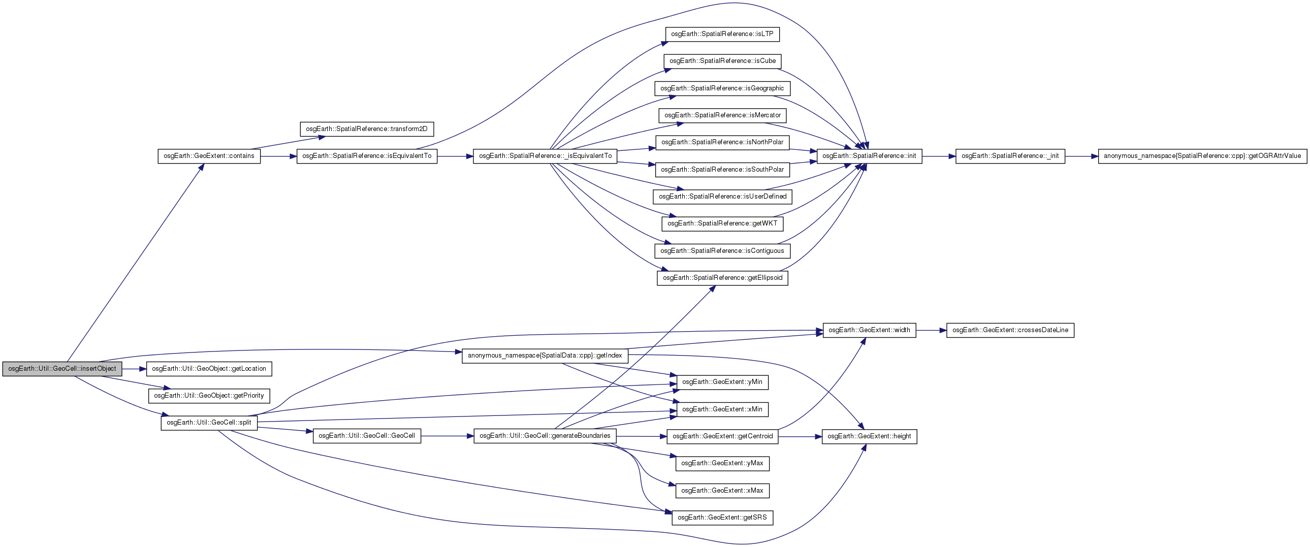
| bool GeoCell::insertObject | ( | GeoObject * | object | ) | [virtual] |
Adds an object to this geocell graph.
Reimplemented in osgEarth::Util::GeoGraph.
Definition at line 379 of file SpatialData.cpp.
{
    osg::Vec3d location;
    if ( object->getLocation(location) && _extent.contains(location.x(), location.y()) )
    {
        object->_cell = this;
        _objects.insert( std::make_pair(object->getPriority(), object) );

        if ( _objects.size() > _maxObjects )
        {
            GeoObjectCollection::iterator low = _objects.begin();
            GeoObject* lowPriObject = low->second.get();

            if ( getNumChildren() == 0 )
                split();

            lowPriObject->getLocation(location);
            unsigned index = getIndex(_extent, location, _splitDim, _splitDim);
            bool insertedOK = static_cast<GeoCell*>(getChild(index))->insertObject( lowPriObject );
            if ( insertedOK )
            {
                // remove it from this cell.
                _objects.erase( low );
            }
            else
            {
                // should never ever happen..
                OE_WARN << LC << "Object insertion failed" << std::endl;
                return false;
            }
        }
        return true;
    }
    else
    {
        return false;
    }
}
Here is the call graph for this function: Here is the caller graph for this function:| bool GeoCell::intersects | ( | const class osg::Polytope & | tope | ) | const [protected] |
Definition at line 286 of file SpatialData.cpp.
{
    const osg::Polytope::PlaneList& planes = tope.getPlaneList();
    for( osg::Polytope::PlaneList::const_iterator i = planes.begin(); i != planes.end(); ++i )
    {
        if ( i->intersect( _boundaryPoints ) < 0 )
            return false;
    }
    return true;
}
| void GeoCell::merge | ( | ) | [protected] |
Definition at line 477 of file SpatialData.cpp.
{
    //NYI //TODO
}
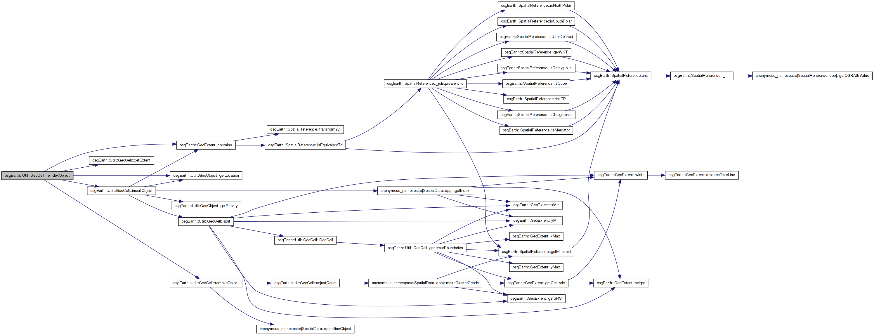
| bool GeoCell::reindexObject | ( | GeoObject * | object | ) |
Re-index an object withing the geocell graph based on a new position.
Definition at line 483 of file SpatialData.cpp.
{
    GeoCell* owner = object->getGeoCell();
    if ( owner )
    {
        osg::Vec3d location;
        if ( object->getLocation(location) && !owner->_extent.contains(location.x(), location.y()) )
        {
            // first remove from its current cell
            owner->removeObject( object );

            GeoCell* cell = dynamic_cast<GeoCell*>( owner->getParent(0) );
            while( cell )
            {
                if ( cell->getExtent().contains(location.x(), location.y()) )
                {
                    if ( cell->insertObject( object ) )
                        return true;
                }
                cell = dynamic_cast<GeoCell*>( cell->getParent(0) );
            }
        }

        // no change
        return true;
    }
    else
    {
        return insertObject( object );
    }
}
Here is the call graph for this function:| bool GeoCell::removeObject | ( | GeoObject * | object | ) |
Removes an object from this geocell graph.
Definition at line 448 of file SpatialData.cpp.
{
    if ( object->_cell.get() == this )
    {
        object->_cell = 0L;
        _objects.erase( findObject(_objects, object) );
        adjustCount( -1 );

        // if we just fell beneath the threshold, pull one up from below.
        if ( _objects.size() == _minObjects-1 )
        {
            //TODO.
        }

        // TODO: rebalance, merge the tree, etc.
        return true;
    }
    else
    {
        for( unsigned i=0; i<getNumChildren(); ++i )
        {
            if ( static_cast<GeoCell*>(getChild(i))->removeObject( object ) )
                return true;
        }
    }
    return false;
}
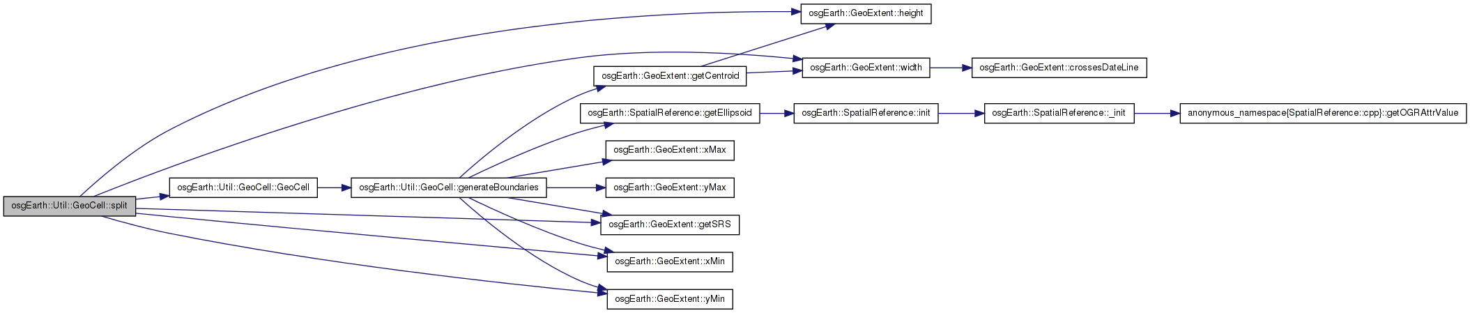
Here is the call graph for this function: Here is the caller graph for this function:| void GeoCell::split | ( | ) | [protected] |
Definition at line 419 of file SpatialData.cpp.
{
    // the max LOD range for children of this cell:
    float newRange = _maxRange * _splitRangeFactor;

    // first create all the child cells:
    double xInterval = _extent.width() / (double)_splitDim;
    double yInterval = _extent.height() / (double)_splitDim;

    for( unsigned row=0; row<_splitDim; ++row )
    {
        for( unsigned col=0; col<_splitDim; ++col )
        {
            GeoExtent cellExtent(
                _extent.getSRS(),
                _extent.xMin() + xInterval*(double)col,
                _extent.yMin() + yInterval*(double)row,
                _extent.xMin() + xInterval*(double)(col+1),
                _extent.yMin() + yInterval*(double)(row+1) );

            this->addChild(
                new GeoCell(cellExtent, newRange, _maxObjects, _splitDim, _splitRangeFactor, _depth+1),
                0.0f,
                newRange );
        }
    }
}
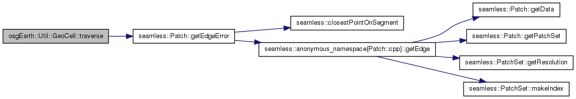
Here is the call graph for this function: Here is the caller graph for this function:| void GeoCell::traverse | ( | osg::NodeVisitor & | nv | ) | [virtual] |
Definition at line 225 of file Patch.cpp.
{
    if (!_trile[0][0].valid())
        return;
    if (nv.getTraversalMode() == NodeVisitor::TRAVERSE_ALL_CHILDREN)
    {
        std::for_each(&_trile[0][0], &_trile[1][3] + 1, MyNodeAcceptOp(nv));
        std::for_each(&_strip[0][0], &_strip[3][3] + 1, MyNodeAcceptOp(nv));
        return;
    }
    if (nv.getTraversalMode() != NodeVisitor::TRAVERSE_ACTIVE_CHILDREN)
        return;
    float epsilon[4];
    int res[4]; // Resolution of each edge / trile.
    // Get error value for edges
    Vec3 eye = nv.getViewPoint();
    for (int i = 0; i < 4; ++i)
    {
        epsilon[i] = getEdgeError(eye, i);
        if (epsilon[i] > _errorThreshold)
            res[i] = 1;
        else
            res[i] = 0;
    }

    for (int i = 0; i < 4; ++i)
        _trile[res[i]][i]->accept(nv);
    // Now choose a strip
    for (int i = 0; i < 4; ++i)
    {
        // One neighbor is trile i; the other is clockwise.
        int neighbor = (i - 1 + 4) % 4;
        int strip = res[neighbor] * 2 + res[i];
        _strip[strip][i]->accept(nv);
    }
}
Here is the call graph for this function:friend class GeoCellVisitor [friend] |
Definition at line 110 of file SpatialData.
osg::Vec4Array* osgEarth::Util::GeoCell::_boundaryColor [protected] |
Definition at line 108 of file SpatialData.
osg::ref_ptr<osg::Geode> osgEarth::Util::GeoCell::_boundaryGeode [protected] |
Definition at line 107 of file SpatialData.
std::vector<osg::Vec3d> osgEarth::Util::GeoCell::_boundaryPoints [protected] |
Definition at line 101 of file SpatialData.
osg::ref_ptr<osg::Geode> osgEarth::Util::GeoCell::_clusterGeode [protected] |
Definition at line 106 of file SpatialData.
unsigned osgEarth::Util::GeoCell::_count [protected] |
Definition at line 90 of file SpatialData.
unsigned osgEarth::Util::GeoCell::_depth [protected] |
Definition at line 91 of file SpatialData.
GeoExtent osgEarth::Util::GeoCell::_extent [protected] |
Definition at line 84 of file SpatialData.
unsigned osgEarth::Util::GeoCell::_frameStamp [protected] |
Definition at line 92 of file SpatialData.
unsigned osgEarth::Util::GeoCell::_maxObjects [protected] |
Definition at line 86 of file SpatialData.
float osgEarth::Util::GeoCell::_maxRange [protected] |
Definition at line 88 of file SpatialData.
unsigned osgEarth::Util::GeoCell::_minObjects [protected] |
Definition at line 87 of file SpatialData.
GeoObjectCollection osgEarth::Util::GeoCell::_objects [protected] |
Definition at line 104 of file SpatialData.
unsigned osgEarth::Util::GeoCell::_splitDim [protected] |
Definition at line 85 of file SpatialData.
float osgEarth::Util::GeoCell::_splitRangeFactor [protected] |
Definition at line 89 of file SpatialData.
 1.7.3
1.7.3