|
osgEarth 2.1.1
|
|
osgEarth 2.1.1
|
Public Types | |
| enum | Precision { PRECISION_100000M = 100000, PRECISION_10000M = 10000, PRECISION_1000M = 1000, PRECISION_100M = 100, PRECISION_10M = 10, PRECISION_1M = 1 } |
| enum | Options { USE_SPACES = 1 << 0, FORCE_AA_SCHEME = 1 << 1, FORCE_AL_SCHEME = 1 << 2 } |
Public Member Functions | |
| MGRSFormatter (Precision precision=PRECISION_1M, const SpatialReference *refSRS=0L, unsigned options=0) | |
| std::string | format (double latDeg, double lonDeg) const |
Private Attributes | |
| osg::ref_ptr< const SpatialReference > | _refSRS |
| bool | _useAL |
| Precision | _precision |
| unsigned | _options |
Formats coordinate data as MGRS.
NOTE: This class does not yet handle the special UTM zone exceptions for southwest Norway (zone 32V) and Svalbard (31X, 33X, 35X, 37X).
See: http://en.wikipedia.org/wiki/Military_grid_reference_system
Definition at line 90 of file Formatters.
Definition at line 103 of file Formatters.
        {
            USE_SPACES        = 1 << 0,     // insert spaces between MGRS elements
            FORCE_AA_SCHEME   = 1 << 1,     // use the AA row lettering scheme regardless of ellipsoid
            FORCE_AL_SCHEME   = 1 << 2      // use the AL row lettering scheme regardless of ellipsoid
        };
| PRECISION_100000M | |
| PRECISION_10000M | |
| PRECISION_1000M | |
| PRECISION_100M | |
| PRECISION_10M | |
| PRECISION_1M |
Definition at line 93 of file Formatters.
        {
            PRECISION_100000M = 100000,     // i.e., omit the numerical offsets altogether
            PRECISION_10000M  = 10000,
            PRECISION_1000M   = 1000,
            PRECISION_100M    = 100,
            PRECISION_10M     = 10,
            PRECISION_1M      = 1
        };
| MGRSFormatter::MGRSFormatter | ( | Precision | precision = PRECISION_1M, |
| const SpatialReference * | refSRS = 0L, |
||
| unsigned | options = 0 |
||
| ) |
Initialized an MGRS formatter.
| precision | Precision with which to print the MGRS string (see Precision above) |
| refSRS | Reference geographic SRS for MGRS encoding. Older datums (Clark and Bessel) change the row lettering scheme. Default=WGS84. |
| options | Formatting options (see Options above) |
Definition at line 176 of file Formatters.cpp.
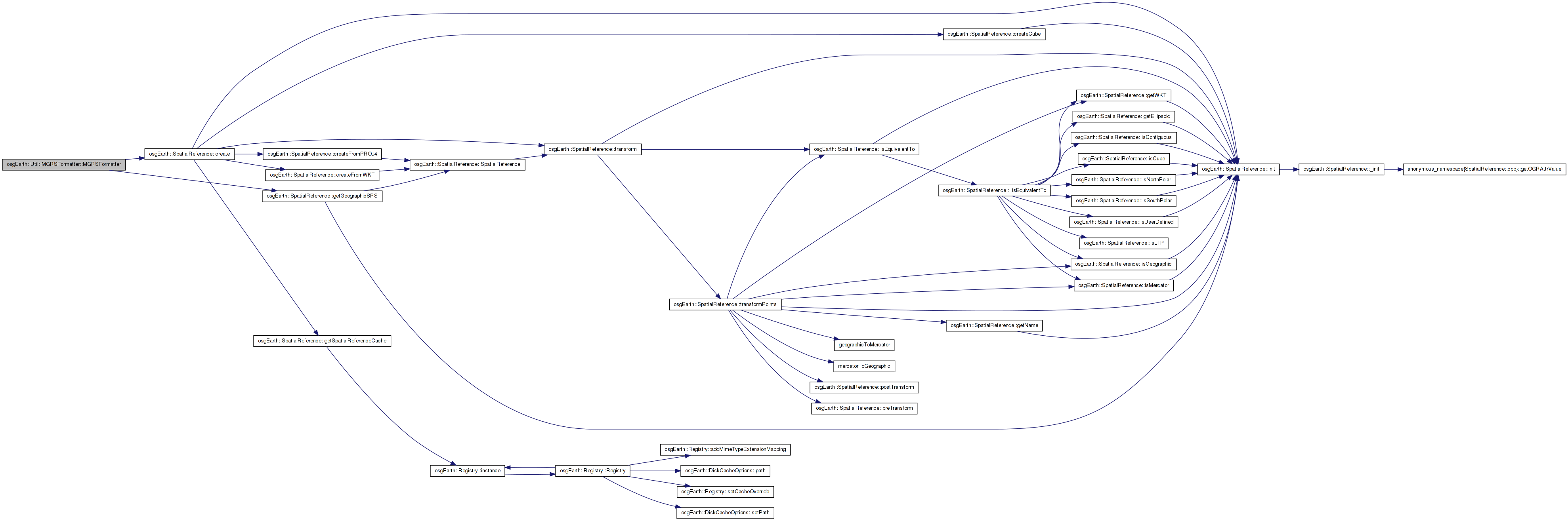
                                                               :
_precision( precision ),
_options  ( options )
{
    if ( referenceSRS )
    {
        _refSRS = referenceSRS->getGeographicSRS();
    }
    else
    {
        _refSRS = SpatialReference::create( "wgs84" );
    }

    if ( options & FORCE_AA_SCHEME )
    {
        _useAL = false;
    }
    else if ( options & FORCE_AL_SCHEME )
    {
        _useAL = true;
    }
    else
    {
        // use the "AL" lettering scheme for these older datum ellipsoids.
        std::string eName = _refSRS->getEllipsoid()->getName();
        _useAL =
            eName.find("bessel") != std::string::npos ||
            eName.find("clark")  != std::string::npos ||
            eName.find("clrk")   != std::string::npos;
    }
}
 Here is the call graph for this function:
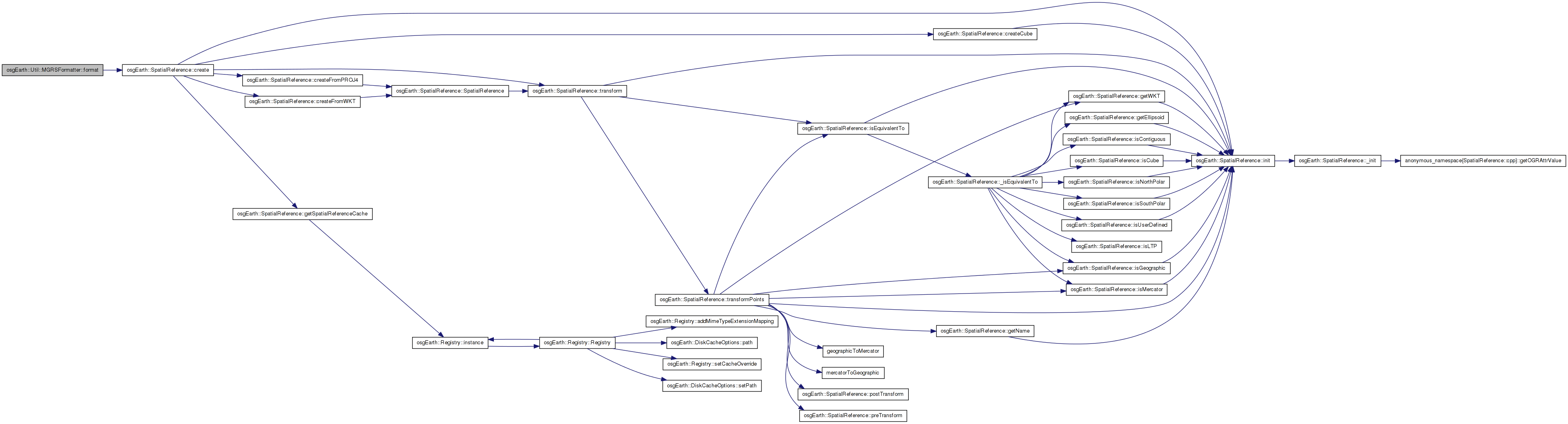
| std::string MGRSFormatter::format | ( | double | latDeg, |
| double | lonDeg | ||
| ) | const |
Formats a lat/lon (in degrees) as an MGRS string.
Definition at line 211 of file Formatters.cpp.
{
    unsigned    zone;
    char        gzd;
    unsigned    x=0, y=0;
    char        sqid[3];
    std::string space;

    if ( _options & USE_SPACES )
        space = " ";

    sqid[0] = '?';
    sqid[1] = '?';
    sqid[2] = 0;

    if ( latDeg >= 84.0 || latDeg <= -80.0 ) // polar projection
    {
        bool isNorth = latDeg > 0.0;
        zone = 0;
        gzd = isNorth ? (lonDeg < 0.0 ? 'Y' : 'Z') : (lonDeg < 0.0? 'A' : 'B');

        osg::ref_ptr<const SpatialReference> ups = isNorth?
            SpatialReference::create( "+proj=stere +lat_ts=90 +lat_0=90 +lon_0=0 +k_0=1 +x_0=0 +y_0=0" ) :
            SpatialReference::create( "+proj=stere +lat_ts=-90 +lat_0=-90 +lon_0=0 +k_0=1 +x_0=0 +y_0=0" );

        if ( !ups.valid() )
        {
            OE_WARN << LC << "Failed to create UPS SRS" << std::endl;
            return "";
        }

        double upsX, upsY;
        if ( _refSRS->transform2D( lonDeg, latDeg, ups.get(), upsX, upsY ) == false )
        {
            OE_WARN << LC << "Failed to transform lat/long to UPS" << std::endl;
            return "";
        }

        int sqXOffset = upsX >= 0.0 ? (int)floor(upsX/100000.0) : -(int)floor(1.0-(upsX/100000.0));
        int sqYOffset = upsY >= 0.0 ? (int)floor(upsY/100000.0) : -(int)floor(1.0-(upsY/100000.0));

        int alphaOffset = isNorth ? 7 : 12;

        sqid[0] = UPS_COL_ALPHABET[ (UPS_COL_ALPHABET_SIZE+sqXOffset) % UPS_COL_ALPHABET_SIZE ];
        sqid[1] = UPS_ROW_ALPHABET[alphaOffset + sqYOffset];

        x = upsX - (100000.0*(double)sqXOffset);
        y = upsY - (100000.0*(double)sqYOffset);
    }

    else // UTM
    {
        // figure out the grid zone designator
        unsigned gzdIndex = ((unsigned)(latDeg+80.0))/8;
        gzd = GZD_ALPHABET[gzdIndex];

        // figure out the UTM zone:
        zone = (unsigned)floor((lonDeg+180.0)/6.0);   // [0..59]
        bool north = latDeg >= 0.0;

        // convert the input coordinates to UTM:
        // yes, always use +north so we get Y relative to equator
        std::stringstream buf;
        buf << "+proj=utm +zone=" << (zone+1) << " +north +units=m";
        osg::ref_ptr<SpatialReference> utm = SpatialReference::create( buf.str() );

        double utmX, utmY;
        if ( _refSRS->transform2D( lonDeg, latDeg, utm.get(), utmX, utmY ) == false )
        {
            OE_WARN << LC << "Error transforming lat/long into UTM" << std::endl;
            return "";
        }

        // the alphabet set:
        unsigned set = zone % 6; // [0..5]

        // find the horizontal SQID offset (100KM increments) from the central meridian:
        unsigned xSetOffset = 8 * (set % 3);
        double xMeridianOffset = utmX - 500000.0;
        int sqMeridianOffset = xMeridianOffset >= 0.0 ? (int)floor(xMeridianOffset/100000.0) : -(int)floor(1.0-(xMeridianOffset/100000.0));
        unsigned indexOffset = (4 + sqMeridianOffset);
        sqid[0] = UTM_COL_ALPHABET[xSetOffset + indexOffset];
        double xWest = 500000.0 + (100000.0*(double)sqMeridianOffset);
        x = utmX - xWest;

        // find the vertical SQID offset (100KM increments) from the equator:
        unsigned ySetOffset = 5 * (zone % 2); //(set % 2);
        int sqEquatorOffset = (int)floor(utmY/100000.0);
        int absOffset = ySetOffset + sqEquatorOffset + (10 * UTM_ROW_ALPHABET_SIZE);
        if ( _useAL )
            absOffset += 10;
        sqid[1] = UTM_ROW_ALPHABET[absOffset % UTM_ROW_ALPHABET_SIZE];
        y = utmY - (100000.0*(double)sqEquatorOffset);
    }

    std::stringstream buf;

    if ( (unsigned)_precision > PRECISION_1M )
    {
        x /= (unsigned)_precision;
        y /= (unsigned)_precision;
    }

    buf << (zone+1) << gzd << space << sqid;

    if ( (unsigned)_precision < PRECISION_100000M )
    {
        int sigdigs =
            _precision == PRECISION_10000M ? 1 :
            _precision == PRECISION_1000M  ? 2 :
            _precision == PRECISION_100M   ? 3 :
            _precision == PRECISION_10M    ? 4 :
            5;

        buf << space
            << std::setfill('0')
            << std::setw(sigdigs) << x
            << space
            << std::setw(sigdigs) << y;
    }

    std::string result;
    result = buf.str();
    return result;
}
Here is the call graph for this function: Here is the caller graph for this function:unsigned osgEarth::Util::MGRSFormatter::_options [private] |
Definition at line 133 of file Formatters.
Definition at line 132 of file Formatters.
osg::ref_ptr<const SpatialReference> osgEarth::Util::MGRSFormatter::_refSRS [private] |
Definition at line 130 of file Formatters.
bool osgEarth::Util::MGRSFormatter::_useAL [private] |
Definition at line 131 of file Formatters.
 1.7.3
1.7.3