|
osgEarth 2.1.1
|
|
osgEarth 2.1.1
|
 Inheritance diagram for osgEarth::CubeSpatialReference: Collaboration diagram for osgEarth::CubeSpatialReference:
Public Member Functions | |
| CubeSpatialReference (void *handle) | |
| virtual GeoLocator * | createLocator (double xmin, double ymin, double xmax, double ymax, bool plate_carre=false) const |
| virtual bool | isGeographic () const |
| virtual bool | isProjected () const |
| virtual bool | preTransform (double &x, double &y, double &z, void *context) const |
| virtual bool | postTransform (double &x, double &y, double &z, void *context) const |
| virtual bool | transformExtent (const SpatialReference *to_srs, double &in_out_xmin, double &in_out_ymin, double &in_out_xmax, double &in_out_ymax, void *context) const |
Protected Member Functions | |
| void | _init () |
The "Cube" SRS represents a 6-face cube, each face being in unit coordinates (0,0=>1,1). the cube as whole lays out all six faces side by side, resulting in a space measuring (0,0=>6,1). The face number corresponds to the x-axis ordinal.
| CubeSpatialReference::CubeSpatialReference | ( | void * | handle | ) |
Definition at line 390 of file Cube.cpp.
                                                         :
SpatialReference( handle, "OSGEARTH", "unified-cube", "Unified Cube" )
{
    //nop
}
| void CubeSpatialReference::_init | ( | ) | [protected, virtual] |
Reimplemented from osgEarth::SpatialReference.
Definition at line 397 of file Cube.cpp.
{
    SpatialReference::_init();

    _is_user_defined = true;
    _is_cube = true;
    _is_contiguous = false;
    _is_geographic = false;
    _name = "Unified Cube";
}
| GeoLocator * CubeSpatialReference::createLocator | ( | double | xmin, |
| double | ymin, | ||
| double | xmax, | ||
| double | ymax, | ||
| bool | plate_carre = false |
||
| ) | const [virtual] |
Creates a new Locator object based on this spatial reference.
| xmin,ymin,xmax,ymax | Extents of the tile for which to create a locator. These should be in degrees for a geographic/geocentric scene. |
| plate_carre | Set this to true for the special case in which you are using a geographic SRS with a PROJECTED map (like flat-earth lat/long). |
Reimplemented from osgEarth::SpatialReference.
Definition at line 409 of file Cube.cpp.
{
    int face;
    CubeUtils::cubeToFace( xmin, ymin, xmax, ymax, face );

    GeoLocator* result = new CubeFaceLocator( face );

    osg::Matrixd transform;
    transform.set(
        xmax-xmin, 0.0,       0.0, 0.0,
        0.0,       ymax-ymin, 0.0, 0.0,
        0.0,       0.0,       1.0, 0.0,
        xmin,      ymin,      0.0, 1.0);
    result->setTransform( transform );

    return result;
}
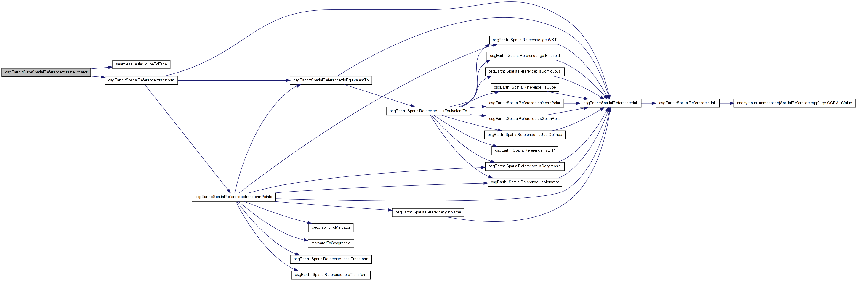
Here is the call graph for this function:| virtual bool osgEarth::CubeSpatialReference::isGeographic | ( | ) | const [inline, virtual] |
True is this is a geographic SRS (i.e. unprojected lat/long)
Reimplemented from osgEarth::SpatialReference.
Definition at line 123 of file Cube.
{ return false; }
| virtual bool osgEarth::CubeSpatialReference::isProjected | ( | ) | const [inline, virtual] |
True if this is a projected SRS (i.e. local coordinate system)
Reimplemented from osgEarth::SpatialReference.
Definition at line 124 of file Cube.
{ return true; }
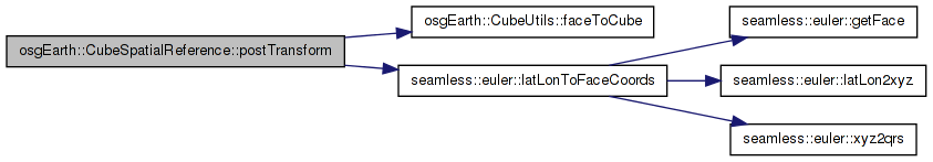
| bool CubeSpatialReference::postTransform | ( | double & | x, |
| double & | y, | ||
| double & | z, | ||
| void * | context | ||
| ) | const [virtual] |
Reimplemented from osgEarth::SpatialReference.
Definition at line 452 of file Cube.cpp.
{
    //Convert the incoming points from lat/lon back to face coordinates
    int face;
    double out_x, out_y;

    // convert from lat/long to x/y/face
    bool success = CubeUtils::latLonToFaceCoords( y, x, out_x, out_y, face );
    if (!success)
    {
        OE_WARN << LC << "Could not transform face coordinates to lat lon" << std::endl;
        return false;
    }

    //TODO: what to do about boundary points?

    if ( !CubeUtils::faceToCube( out_x, out_y, face ) )
    {
        OE_WARN << LC << "fromFace(" << out_x << "," << out_y << "," << face << ") failed" << std::endl;
        return false;
    }

    x = out_x;
    y = out_y;

    return true;
}
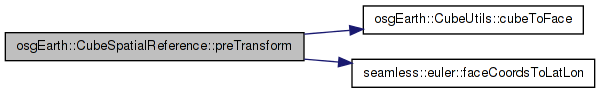
Here is the call graph for this function:| bool CubeSpatialReference::preTransform | ( | double & | x, |
| double & | y, | ||
| double & | z, | ||
| void * | context | ||
| ) | const [virtual] |
Reimplemented from osgEarth::SpatialReference.
Definition at line 429 of file Cube.cpp.
{
    // Convert the incoming points from cube => face => lat/long.
    int face;
    if ( !CubeUtils::cubeToFace( x, y, face ) )
    {
        OE_WARN << LC << "Failed to convert (" << x << "," << y << ") into face coordinates." << std::endl;
        return false;
    }

    double lat_deg, lon_deg;
    bool success = CubeUtils::faceCoordsToLatLon( x, y, face, lat_deg, lon_deg );
    if (!success)
    {
        OE_WARN << LC << "Could not transform face coordinates to lat lon" << std::endl;
        return false;
    }
    x = lon_deg;
    y = lat_deg;
    return true;
}
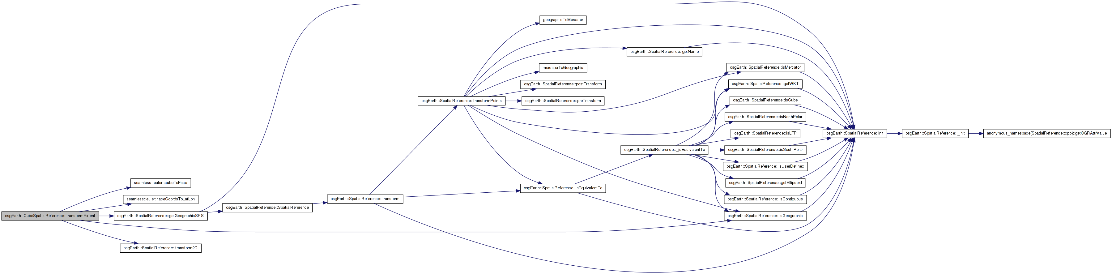
Here is the call graph for this function:| bool CubeSpatialReference::transformExtent | ( | const SpatialReference * | to_srs, |
| double & | in_out_xmin, | ||
| double & | in_out_ymin, | ||
| double & | in_out_xmax, | ||
| double & | in_out_ymax, | ||
| void * | context | ||
| ) | const [virtual] |
Transforms a spatial extent to another SRS.
TODO: Update this method to work for: a) Geographic extents that cross the date line; and b) Polar extents.
Reimplemented from osgEarth::SpatialReference.
Definition at line 488 of file Cube.cpp.
{
    // note: this method only works when the extent is isolated to one face of the cube. If you
    // want to transform an artibrary extent, you need to break it up into separate extents for
    // each cube face.
    bool ok = true;

    double face_xmin = in_out_xmin, face_ymin = in_out_ymin;
    double face_xmax = in_out_xmax, face_ymax = in_out_ymax;

    int face;
    CubeUtils::cubeToFace( face_xmin, face_ymin, face_xmax, face_ymax, face );

    // for equatorial faces, the normal transformation process will suffice (since it will call into
    // pre/postTransform).
    if ( face < 4 )
    {
        ok = SpatialReference::transformExtent( to_srs, in_out_xmin, in_out_ymin, in_out_xmax, in_out_ymax );
    }
    else
    {
        // otherwise we are on one of the polar faces (4 or 5):

        // four corners in face space:
        double fx[4] = { face_xmin, face_xmax, face_xmax, face_xmin };
        double fy[4] = { face_ymin, face_ymin, face_ymax, face_ymax };

        bool crosses_pole = fx[LL] < 0.5 && fx[UR] > 0.5 && fy[LL] < 0.5 && fy[UR] > 0.5;

        if ( crosses_pole ) // full x extent.
        {
            bool north = face == 4; // else south
            to_srs->getGeographicSRS()->transform2D( -180.0, north? 45.0 : -90.0, to_srs, in_out_xmin, in_out_ymin );
            to_srs->getGeographicSRS()->transform2D( 180.0, north? 90.0 : -45.0, to_srs, in_out_xmax, in_out_ymax );
        }

        else
        {
            double lat_deg[4];
            double lon_deg[4];
            double latmin, latmax, lonmin, lonmax;

            for( int i=0; i<4; ++i )
            {
                CubeUtils::faceCoordsToLatLon( fx[i], fy[i], face, lat_deg[i], lon_deg[i] );
            }

            latmin = SMALLEST( lat_deg[0], lat_deg[1], lat_deg[2], lat_deg[3] );
            latmax = LARGEST( lat_deg[0], lat_deg[1], lat_deg[2], lat_deg[3] );

            // check to see whether the extent crosses the date line boundary. If so,
            // make the UL corner the southwest and the LR corner the east.
            bool crosses_date_line = fx[UL]+(1-fy[UL]) < 1.0 && (1-fx[LR])+fy[LR] < 1.0 && fx[LL]+fy[LL] < 1.0;
            if ( crosses_date_line )
            {
                lonmin = lon_deg[UL];
                lonmax = lon_deg[LR];
            }
            else
            {
                lonmin = SMALLEST( lon_deg[0], lon_deg[1], lon_deg[2], lon_deg[3] );
                lonmax = LARGEST( lon_deg[0], lon_deg[1], lon_deg[2], lon_deg[3] );
            }

            if ( to_srs->isGeographic() )
            {
                in_out_xmin = lonmin;
                in_out_xmax = lonmax;
                in_out_ymin = latmin;
                in_out_ymax = latmax;
            }
            else
            {
                bool ok1 = transform2D( lonmin, latmin, to_srs, in_out_xmin, in_out_ymin, context );
                bool ok2 = transform2D( lonmax, latmax, to_srs, in_out_xmax, in_out_ymax, context );
                ok = ok1 && ok2;
            }
        }
    }

    return ok;
}
Here is the call graph for this function: 1.7.3
1.7.3