|
osgEarth 2.1.1
|
|
osgEarth 2.1.1
|
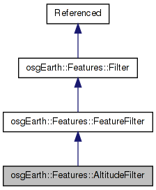
 Inheritance diagram for osgEarth::Features::AltitudeFilter: Collaboration diagram for osgEarth::Features::AltitudeFilter:
Public Member Functions | |
| AltitudeFilter () | |
| void | setPropertiesFromStyle (const Style &style) |
| void | setMaxResolution (double value) |
| double | getMaxResolution () const |
| virtual FilterContext | push (FeatureList &input, FilterContext &cx) |
Protected Attributes | |
| osg::ref_ptr< const AltitudeSymbol > | _altitude |
| double | _maxRes |
| std::string | _maxZAttr |
| std::string | _minZAttr |
| std::string | _terrainZAttr |
Feature filter that will clamp incoming feature geometry to an elevation model.
Definition at line 34 of file AltitudeFilter.
| AltitudeFilter::AltitudeFilter | ( | ) |
Constructs a new clamping filter
Definition at line 31 of file AltitudeFilter.cpp.
                               :
_maxRes ( 0.0f )
{
    //NOP
}
| double osgEarth::Features::AltitudeFilter::getMaxResolution | ( | ) | const [inline] |
Definition at line 47 of file AltitudeFilter.
{ return _maxRes; }
| FilterContext AltitudeFilter::push | ( | FeatureList & | input, |
| FilterContext & | cx | ||
| ) | [virtual] |
Implements osgEarth::Features::FeatureFilter.
Definition at line 48 of file AltitudeFilter.cpp.
{
    const Session* session = cx.getSession();
    if ( !session ) {
        OE_WARN << LC << "No session - session is required for elevation clamping" << std::endl;
        return cx;
    }

    // the map against which we'll be doing elevation clamping
    MapFrame mapf = session->createMapFrame( Map::ELEVATION_LAYERS );

    const SpatialReference* mapSRS     = mapf.getProfile()->getSRS();
    const SpatialReference* featureSRS = cx.profile()->getSRS();

    // establish an elevation query interface based on the features' SRS.
    ElevationQuery eq( mapf );

    NumericExpression scaleExpr;
    if ( _altitude.valid() && _altitude->verticalScale().isSet() )
        scaleExpr = *_altitude->verticalScale();

    NumericExpression offsetExpr;
    if ( _altitude.valid() && _altitude->verticalOffset().isSet() )
        offsetExpr = *_altitude->verticalOffset();

    bool clamp =
        _altitude->clamping() != AltitudeSymbol::CLAMP_NONE;

    // whether to record a "minimum terrain" value
    bool collectHATs =
        _altitude->clamping() == AltitudeSymbol::CLAMP_RELATIVE_TO_TERRAIN ||
        _altitude->clamping() == AltitudeSymbol::CLAMP_ABSOLUTE;

    for( FeatureList::iterator i = features.begin(); i != features.end(); ++i )
    {
        Feature* feature = i->get();
        double maxGeomZ     = -DBL_MAX;
        double minGeomZ     =  DBL_MAX;
        double maxTerrainZ  = -DBL_MAX;
        double minTerrainZ  =  DBL_MAX;
        double minHAT       =  DBL_MAX;
        double maxHAT       = -DBL_MAX;

        double scaleZ = 1.0;
        if ( _altitude.valid() && _altitude->verticalScale().isSet() )
            scaleZ = feature->eval( scaleExpr );

        double offsetZ = 0.0;
        if ( _altitude.valid() && _altitude->verticalOffset().isSet() )
            offsetZ = feature->eval( offsetExpr );

        GeometryIterator gi( feature->getGeometry() );
        while( gi.hasMore() )
        {
            Geometry* geom = gi.next();

            // clamps the entire array to the terrain using the specified resolution.
            if ( clamp )
            {
                if ( collectHATs )
                {
                    std::vector<double> elevations;
                    elevations.reserve( geom->size() );
                    eq.getElevations( geom->asVector(), featureSRS, elevations, _maxRes );
                    for( unsigned i=0; i<geom->size(); ++i )
                    {
                        double z = (*geom)[i].z() * scaleZ + offsetZ;
                        double hat =
                            _altitude->clamping() == AltitudeSymbol::CLAMP_ABSOLUTE ? z - elevations[i] :
                            z;

                        if ( hat > maxHAT )
                            maxHAT = hat;
                        if ( hat < minHAT )
                            minHAT = hat;

                        double elev = elevations[i];
                        if ( elev > maxTerrainZ )
                            maxTerrainZ = elev;
                        if ( elev < minTerrainZ )
                            minTerrainZ = elev;

                        (*geom)[i].z() =
                            _altitude->clamping() == AltitudeSymbol::CLAMP_ABSOLUTE ? z :
                            z + elevations[i];
                    }
                }
                else
                {
                    eq.getElevations( geom->asVector(), featureSRS, true, _maxRes );
                }
            }

            for( Geometry::iterator i = geom->begin(); i != geom->end(); ++i )
            {
                if ( !collectHATs )
                {
                    i->z() *= scaleZ;
                    i->z() += offsetZ;
                }

                if ( i->z() > maxGeomZ )
                    maxGeomZ = i->z();
                if ( i->z() < minGeomZ )
                    minGeomZ = i->z();
            }
        }

        if ( minHAT != DBL_MAX )
        {
            feature->set( "__min_hat", minHAT );
            feature->set( "__max_hat", maxHAT );
        }

        if ( minGeomZ != DBL_MAX )
        {
            feature->set( "__min_geom_z", minGeomZ );
            feature->set( "__max_geom_z", maxGeomZ );
        }

        if ( minTerrainZ != DBL_MAX )
        {
            feature->set( "__min_terrain_z", minTerrainZ );
            feature->set( "__max_terrain_z", maxTerrainZ );
        }
    }

    return cx;
}
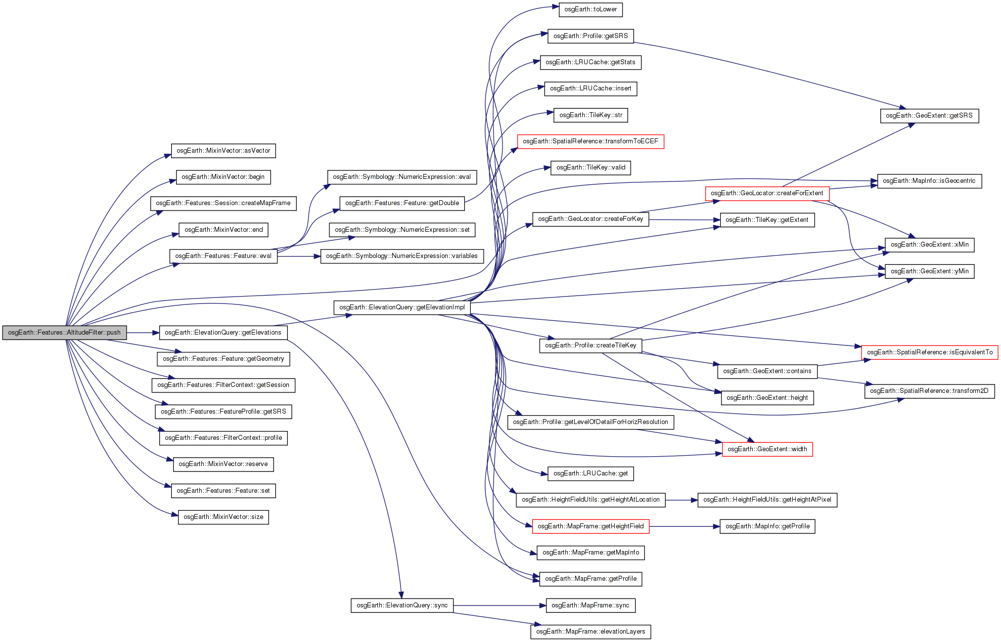
Here is the call graph for this function: Here is the caller graph for this function:| void osgEarth::Features::AltitudeFilter::setMaxResolution | ( | double | value | ) | [inline] |
Maximum terrain resolution to consider when clamping
Definition at line 46 of file AltitudeFilter.
{ _maxRes = value; }
Here is the caller graph for this function:| void AltitudeFilter::setPropertiesFromStyle | ( | const Style & | style | ) |
Shortcut to set any properties that are represented in a style.
Definition at line 38 of file AltitudeFilter.cpp.
{
    _altitude = style.get<AltitudeSymbol>();
    if ( _altitude )
    {
        setMaxResolution( *_altitude->clampingResolution() );
    }
}
Here is the call graph for this function: Here is the caller graph for this function:osg::ref_ptr<const AltitudeSymbol> osgEarth::Features::AltitudeFilter::_altitude [protected] |
Definition at line 53 of file AltitudeFilter.
double osgEarth::Features::AltitudeFilter::_maxRes [protected] |
Definition at line 54 of file AltitudeFilter.
std::string osgEarth::Features::AltitudeFilter::_maxZAttr [protected] |
Definition at line 55 of file AltitudeFilter.
std::string osgEarth::Features::AltitudeFilter::_minZAttr [protected] |
Definition at line 55 of file AltitudeFilter.
std::string osgEarth::Features::AltitudeFilter::_terrainZAttr [protected] |
Definition at line 55 of file AltitudeFilter.
 1.7.3
1.7.3