|
osgEarth 2.1.1
|
|
osgEarth 2.1.1
|
Public Member Functions | |
| MapInfo (const Map *map) | |
| MapInfo (const MapInfo &rhs) | |
| const Profile * | getProfile () const |
| bool | isGeocentric () const |
| bool | isCube () const |
| bool | isPlateCarre () const |
| bool | isProjectedSRS () const |
| bool | isGeographicSRS () const |
| bool | toMapPoint (const osg::Vec3d &input, const SpatialReference *input_srs, osg::Vec3d &output) const |
| bool | mapPointToWorldPoint (const osg::Vec3d &input, osg::Vec3d &output) const |
| bool | worldPointToMapPoint (const osg::Vec3d &input, osg::Vec3d &output) const |
Private Attributes | |
| osg::ref_ptr< const Profile > | _profile |
| bool | _isGeocentric |
| bool | _isCube |
A convenience class that combines a general geospatial profile and additional information about the map itself.
| osgEarth::MapInfo::MapInfo | ( | const Map * | map | ) | [inline] |
Definition at line 415 of file Map.
            : _profile( map->getProfile() ),
              _isGeocentric( map->isGeocentric() ),
              _isCube( map->getMapOptions().coordSysType() == MapOptions::CSTYPE_GEOCENTRIC_CUBE ) { }
| osgEarth::MapInfo::MapInfo | ( | const MapInfo & | rhs | ) | [inline] |
Definition at line 420 of file Map.
            : _profile( rhs._profile ),
              _isGeocentric( rhs._isGeocentric ),
              _isCube( rhs._isCube ) { }
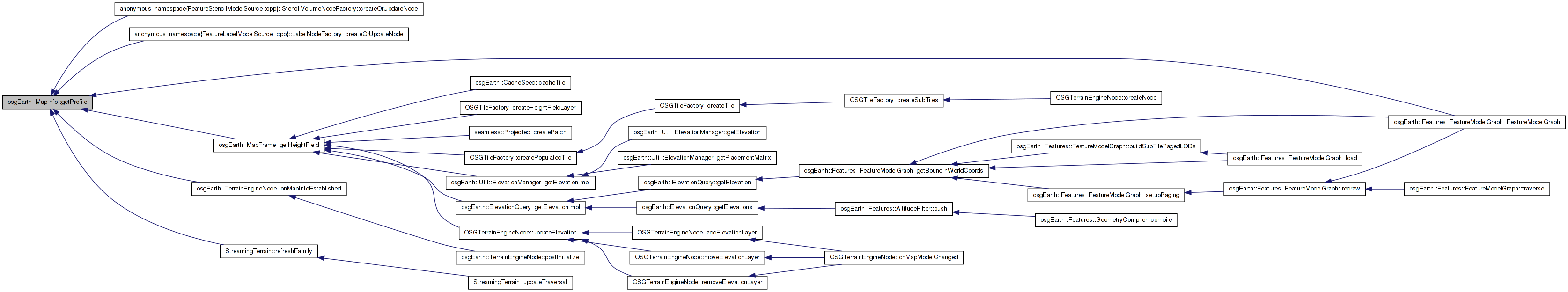
| const Profile* osgEarth::MapInfo::getProfile | ( | ) | const [inline] |
| bool osgEarth::MapInfo::isCube | ( | ) | const [inline] |
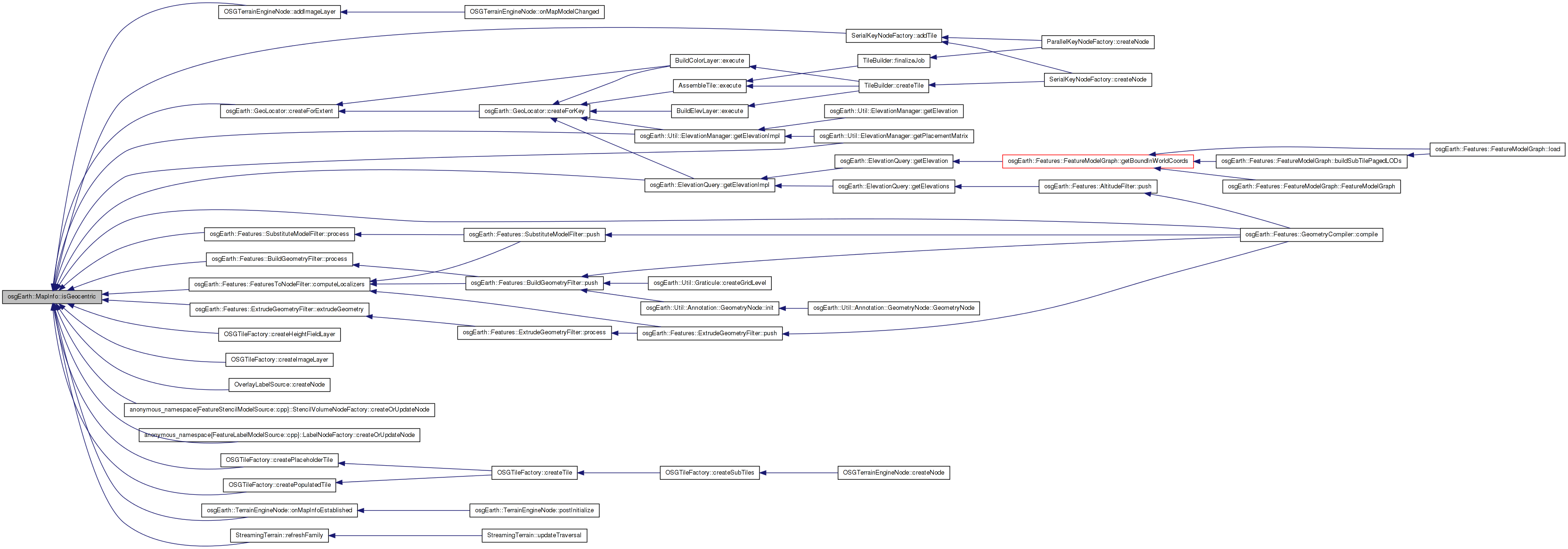
| bool osgEarth::MapInfo::isGeocentric | ( | ) | const [inline] |
Definition at line 427 of file Map.
{ return _isGeocentric; }
 Here is the caller graph for this function:
| bool osgEarth::MapInfo::isGeographicSRS | ( | ) | const [inline] |
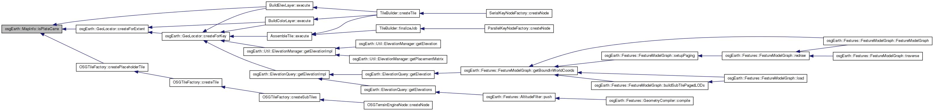
| bool osgEarth::MapInfo::isPlateCarre | ( | ) | const [inline] |
Definition at line 429 of file Map.
{ return !_isGeocentric && isGeographicSRS(); }
Here is the caller graph for this function:| bool osgEarth::MapInfo::isProjectedSRS | ( | ) | const [inline] |
Definition at line 431 of file Map.
{ return !isGeographicSRS(); }
| bool MapInfo::mapPointToWorldPoint | ( | const osg::Vec3d & | input, |
| osg::Vec3d & | output | ||
| ) | const |
Definition at line 1273 of file Map.cpp.
{
    if ( _isGeocentric )
    {
        _profile->getSRS()->getEllipsoid()->convertLatLongHeightToXYZ(
            osg::DegreesToRadians( input.y() ), osg::DegreesToRadians( input.x() ), input.z(),
            output.x(), output.y(), output.z() );
    }
    else
    {
        output = input;
    }
    return true;
}
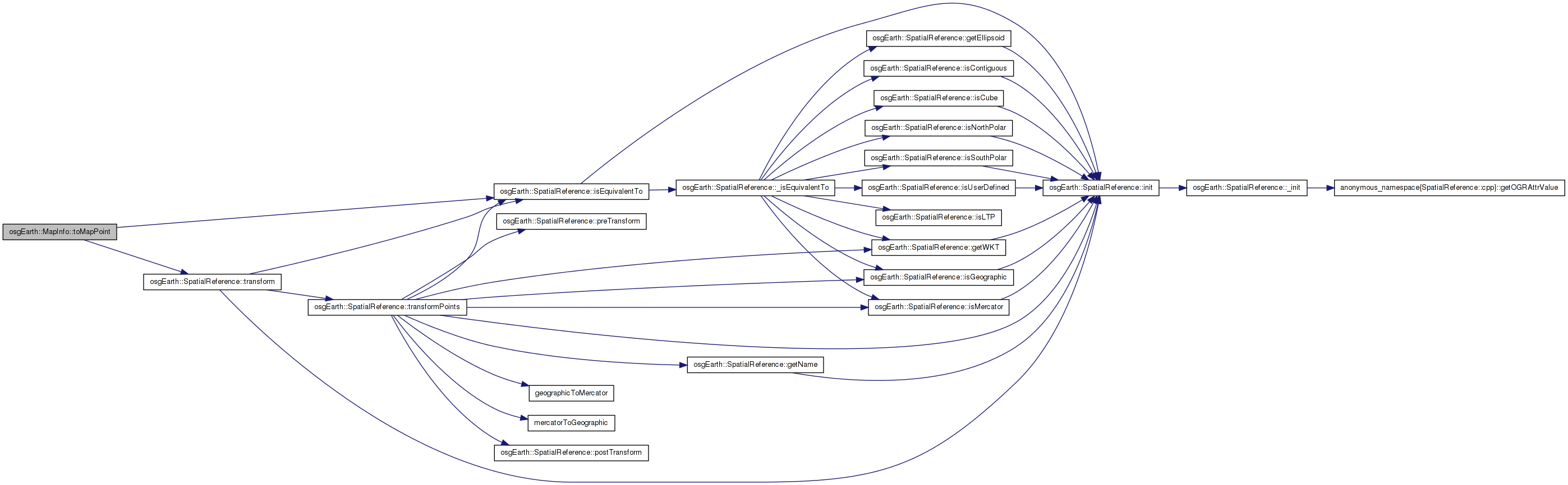
Here is the caller graph for this function:| bool MapInfo::toMapPoint | ( | const osg::Vec3d & | input, |
| const SpatialReference * | input_srs, | ||
| osg::Vec3d & | output | ||
| ) | const |
Definition at line 1253 of file Map.cpp.
{
    if ( !inputSRS )
        return false;

    const SpatialReference* mapSRS = _profile->getSRS();

    if ( inputSRS->isEquivalentTo( mapSRS ) )
    {
        output = input;
        return true;
    }

    return inputSRS->transform(
        input.x(), input.y(), input.z(),
        mapSRS,
        output.x(), output.y(), output.z() );
}
Here is the call graph for this function: Here is the caller graph for this function:| bool MapInfo::worldPointToMapPoint | ( | const osg::Vec3d & | input, |
| osg::Vec3d & | output | ||
| ) | const |
Definition at line 1289 of file Map.cpp.
{
    if ( _isGeocentric )
    {
        _profile->getSRS()->getEllipsoid()->convertXYZToLatLongHeight(
            input.x(), input.y(), input.z(),
            output.y(), output.x(), output.z() );

        output.y() = osg::RadiansToDegrees(output.y());
        output.x() = osg::RadiansToDegrees(output.x());
    }
    else
    {
        output = input;
    }
    return true;
}
Here is the caller graph for this function:bool osgEarth::MapInfo::_isCube [private] |
bool osgEarth::MapInfo::_isGeocentric [private] |
osg::ref_ptr<const Profile> osgEarth::MapInfo::_profile [private] |
 1.7.3
1.7.3