|
osgEarth 2.1.1
|
|
osgEarth 2.1.1
|
Public Member Functions | |
| ObjectPlacer (osg::Node *terrain, int traversalMask=~0, bool clamp=false, int maxLevel=20) | |
| bool | createPlacerMatrix (double lat_degrees, double lon_degrees, double height, osg::Matrixd &out_result) const |
| osg::Node * | placeNode (osg::Node *node, double lat_degrees, double lon_degrees, double height) const |
Private Member Functions | |
| bool | clampGeocentric (osg::CoordinateSystemNode *csn, double lat_rad, double lon_rad, osg::Vec3d &out) const |
| bool | clampProjected (osg::CoordinateSystemNode *csn, double x, double y, osg::Vec3d &out) const |
Private Attributes | |
| osg::ref_ptr< osgEarth::MapNode > | _mapNode |
| osg::ref_ptr < osg::CoordinateSystemNode > | _csn |
| osg::ref_ptr < osgUtil::IntersectionVisitor::ReadCallback > | _readCallback |
| int | _traversalMask |
| bool | _clamp |
Convenience utilities for placing an object on an osgEarth terrain map using latitude/longitude coordinates.
Definition at line 34 of file ObjectPlacer.
| ObjectPlacer::ObjectPlacer | ( | osg::Node * | terrain, |
| int | traversalMask = ~0, |
||
| bool | clamp = false, |
||
| int | maxLevel = 20 |
||
| ) |
Constructs a new placer.
| terrain | The scene graph containing the osgEarth::Map node. |
| traversalMask | Mask to use when intersecting the terrain. |
| clamp | Whether the class should attempt to calculate the placement position so that it sits exactly on the terrain skin. Warning: this does not yet work properly for maps that don't report a maximum resolution (like most of the commercial providers). |
| maxLevel | Maximum level of detail to which to search for high resolution terrain. |
Definition at line 49 of file ObjectPlacer.cpp.
                                                                                          :
_traversalMask( traversalMask ),
_clamp( clamp )
{
    _mapNode = findTopMostNodeOfType<osgEarth::MapNode>( terrain );
    _csn = findTopMostNodeOfType<osg::CoordinateSystemNode>( terrain );
    _readCallback = new CachingReadCallback( maxLevel );
}
| bool ObjectPlacer::clampGeocentric | ( | osg::CoordinateSystemNode * | csn, |
| double | lat_rad, | ||
| double | lon_rad, | ||
| osg::Vec3d & | out | ||
| ) | const [private] |
Definition at line 59 of file ObjectPlacer.cpp.
{
    osg::Vec3d start, end;

    csn->getEllipsoidModel()->convertLatLongHeightToXYZ( lat_rad, lon_rad, 50000, start.x(), start.y(), start.z() );
    csn->getEllipsoidModel()->convertLatLongHeightToXYZ( lat_rad, lon_rad, -50000, end.x(), end.y(), end.z() );
    osgUtil::LineSegmentIntersector* i = new osgUtil::LineSegmentIntersector( start, end );

    osgUtil::IntersectionVisitor iv;
    iv.setIntersector( i );
    static_cast<CachingReadCallback*>(_readCallback.get())->reset();
    iv.setReadCallback( _readCallback.get() );
    iv.setTraversalMask( _traversalMask );

    _mapNode->accept( iv );

    osgUtil::LineSegmentIntersector::Intersections& results = i->getIntersections();
    if ( !results.empty() )
    {
        const osgUtil::LineSegmentIntersector::Intersection& result = *results.begin();
        out = result.matrix.valid() ?
            result.localIntersectionPoint * (*result.matrix) :
            result.localIntersectionPoint;
        return true;
    }
    return false;
}
 Here is the caller graph for this function:
| bool ObjectPlacer::clampProjected | ( | osg::CoordinateSystemNode * | csn, |
| double | x, | ||
| double | y, | ||
| osg::Vec3d & | out | ||
| ) | const [private] |
Definition at line 88 of file ObjectPlacer.cpp.
{
    osg::Vec3d start( x, y, 50000 );
    osg::Vec3d end(x, y, -50000);
    osgUtil::LineSegmentIntersector* i = new osgUtil::LineSegmentIntersector( start, end );

    osgUtil::IntersectionVisitor iv;
    iv.setIntersector( i );
    static_cast<CachingReadCallback*>(_readCallback.get())->reset();
    iv.setReadCallback( _readCallback.get() );
    iv.setTraversalMask( _traversalMask );

    _mapNode->accept( iv );

    osgUtil::LineSegmentIntersector::Intersections& results = i->getIntersections();
    if ( !results.empty() )
    {
        const osgUtil::LineSegmentIntersector::Intersection& result = *results.begin();
        out = result.matrix.valid() ?
            result.localIntersectionPoint * (*result.matrix) :
            result.localIntersectionPoint;
        return true;
    }
    return false;
}
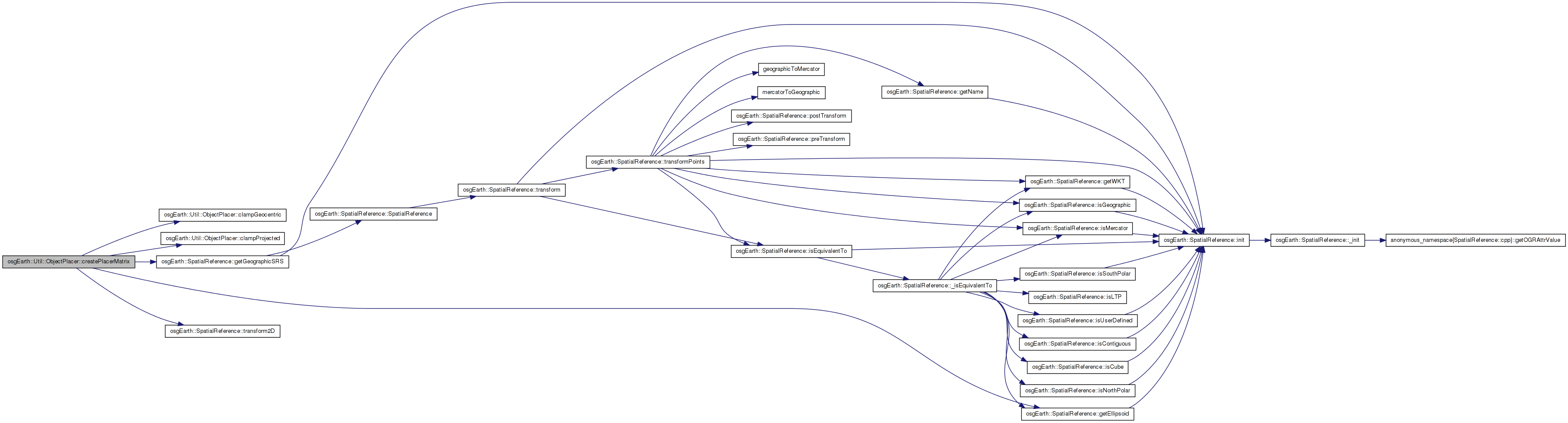
Here is the caller graph for this function:| bool ObjectPlacer::createPlacerMatrix | ( | double | lat_degrees, |
| double | lon_degrees, | ||
| double | height, | ||
| osg::Matrixd & | out_result | ||
| ) | const |
Creates a double-precision matrix that will transform geometry to the specified map location. In a geocentric map, the matrix will also rotate into the tangent plane.
| lat_degrees,lon_degrees | Location on the map for which to generate a matrix |
| height | Height above the terrain (in local units) |
| out_result | Receives the resulting matrix; only valid if the method returns TRUE. |
Definition at line 115 of file ObjectPlacer.cpp.
{
    if ( !_mapNode.valid() || !_csn.valid() )
    {
        OE_WARN << "ObjectPlacer: terrain is missing either a Map or CSN node" << std::endl;
        return false;
    }

    // see whether this is a geocentric model:
    bool is_geocentric = _csn.valid() && _csn->getEllipsoidModel() != NULL;

    const SpatialReference* srs = _mapNode->getMap()->getProfile()->getSRS();

    // now build a matrix:
    if ( is_geocentric )
    {
        double lat_rad = osg::DegreesToRadians( lat_deg );
        double lon_rad = osg::DegreesToRadians( lon_deg );

        if ( _clamp )
        {
            osg::Vec3d c;
            if ( clampGeocentric( _csn.get(), lat_rad, lon_rad, c ) )
            {
                srs->getEllipsoid()->computeLocalToWorldTransformFromXYZ( c.x(), c.y(), c.z(), out_result );
            }
        }
        else
        {
            srs->getEllipsoid()->computeLocalToWorldTransformFromLatLongHeight( lat_rad, lon_rad, height, out_result );
        }
    }
    else // projected or "flat geographic"
    {
        osg::Vec3d local(0, 0, height);

        // first convert the input coords to the map srs:
        srs->getGeographicSRS()->transform2D( lon_deg, lat_deg, srs, local.x(), local.y());

        if ( _clamp )
        {
            clampProjected( _csn.get(), local.x(), local.y(), local );
            local.z() += height;
        }
        out_result = osg::Matrixd::translate( local );
    }

    return true;
}
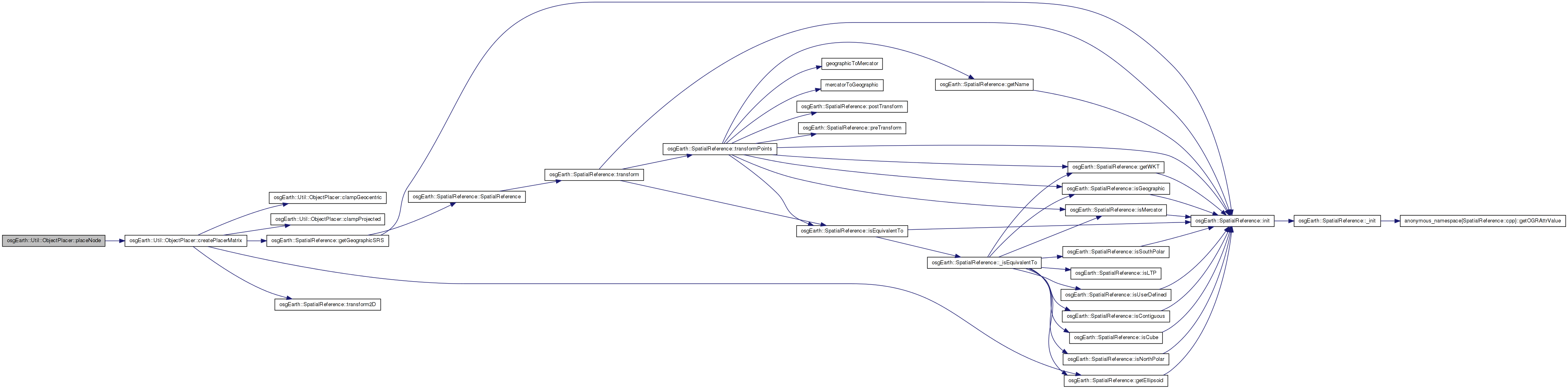
Here is the call graph for this function: Here is the caller graph for this function:| osg::Node * ObjectPlacer::placeNode | ( | osg::Node * | node, |
| double | lat_degrees, | ||
| double | lon_degrees, | ||
| double | height | ||
| ) | const |
Creates a new node graph that positions the input node at a specified map location. The resulting node will contain the input node as a child.
| node | Node to position at the specified location |
| lat_degrees,lon_degrees | Position on the map at which to place the node |
| height | Height above the terrain (in local units) |
Definition at line 166 of file ObjectPlacer.cpp.
{
    osg::Node* result = NULL;

    osg::Matrixd matrix;
    if ( createPlacerMatrix( lat_deg, lon_deg, height, matrix ) )
    {
        osg::MatrixTransform* mt = new osg::MatrixTransform( matrix );
        mt->addChild( node );
        result = mt;
    }

    return result;
}
Here is the call graph for this function:bool osgEarth::Util::ObjectPlacer::_clamp [private] |
Definition at line 104 of file ObjectPlacer.
osg::ref_ptr<osg::CoordinateSystemNode> osgEarth::Util::ObjectPlacer::_csn [private] |
Definition at line 101 of file ObjectPlacer.
osg::ref_ptr<osgEarth::MapNode> osgEarth::Util::ObjectPlacer::_mapNode [private] |
Definition at line 100 of file ObjectPlacer.
osg::ref_ptr<osgUtil::IntersectionVisitor::ReadCallback> osgEarth::Util::ObjectPlacer::_readCallback [private] |
Definition at line 102 of file ObjectPlacer.
int osgEarth::Util::ObjectPlacer::_traversalMask [private] |
Definition at line 103 of file ObjectPlacer.
 1.7.3
1.7.3